MyTopo
Avon NW Utah US Topo Map
Couldn't load pickup availability
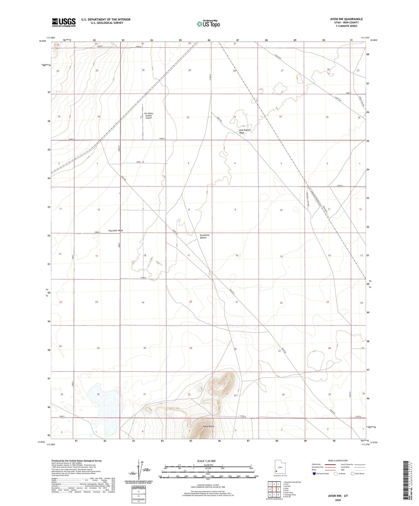
2020 topographic map quadrangle Avon NW in the state of Utah. Scale: 1:24000. Based on the newly updated USGS 7.5' US Topo map series, this map is in the following counties: Iron. The map contains contour data, water features, and other items you are used to seeing on USGS maps, but also has updated roads and other features. This is the next generation of topographic maps. Printed on high-quality waterproof paper with UV fade-resistant inks.
Quads adjacent to this one:
West: Zane
Northwest: Mountain Spring Peak
North: Lund
Northeast: Latimer
East: Avon
Southeast: Avon SE
South: Antelope Peak
Southwest: Clark Farm
Contains the following named places: Dick Palmer Wash, Fourmile Wash, Johnston Ranch, Sun Valley Estates Airport, Table Butte, Websters Well