MyTopo
Averill OE N Vermont US Topo Map
Couldn't load pickup availability
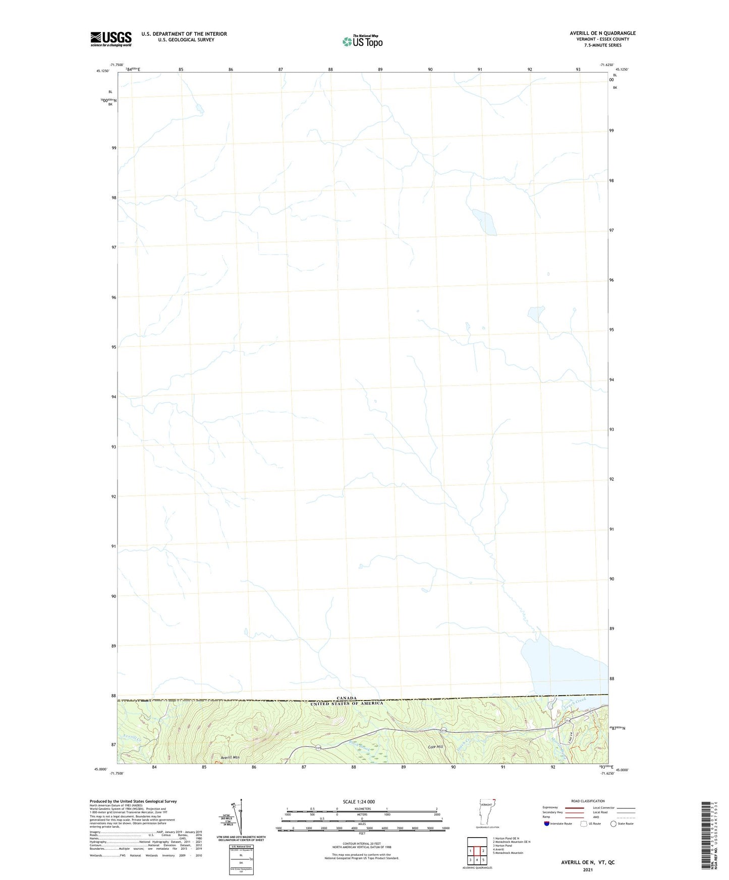
2021 topographic map quadrangle Averill OE N in the state of Vermont. Scale: 1:24000. Based on the newly updated USGS 7.5' US Topo map series, this map is in the following counties: Essex. The map contains contour data, water features, and other items you are used to seeing on USGS maps, but also has updated roads and other features. This is the next generation of topographic maps. Printed on high-quality waterproof paper with UV fade-resistant inks.
Quads adjacent to this one:
West: Norton Pond OE N
Southeast: Monadnock Mountain
South: Averill
Southwest: Norton Pond
Contains the following named places: Averill Mountain, Averill Mountain State Wildlife Management Area, Morrill Brook, Saint Thomas Church, Wallace Pond