MyTopo
Alberta Virginia US Topo Map
Couldn't load pickup availability
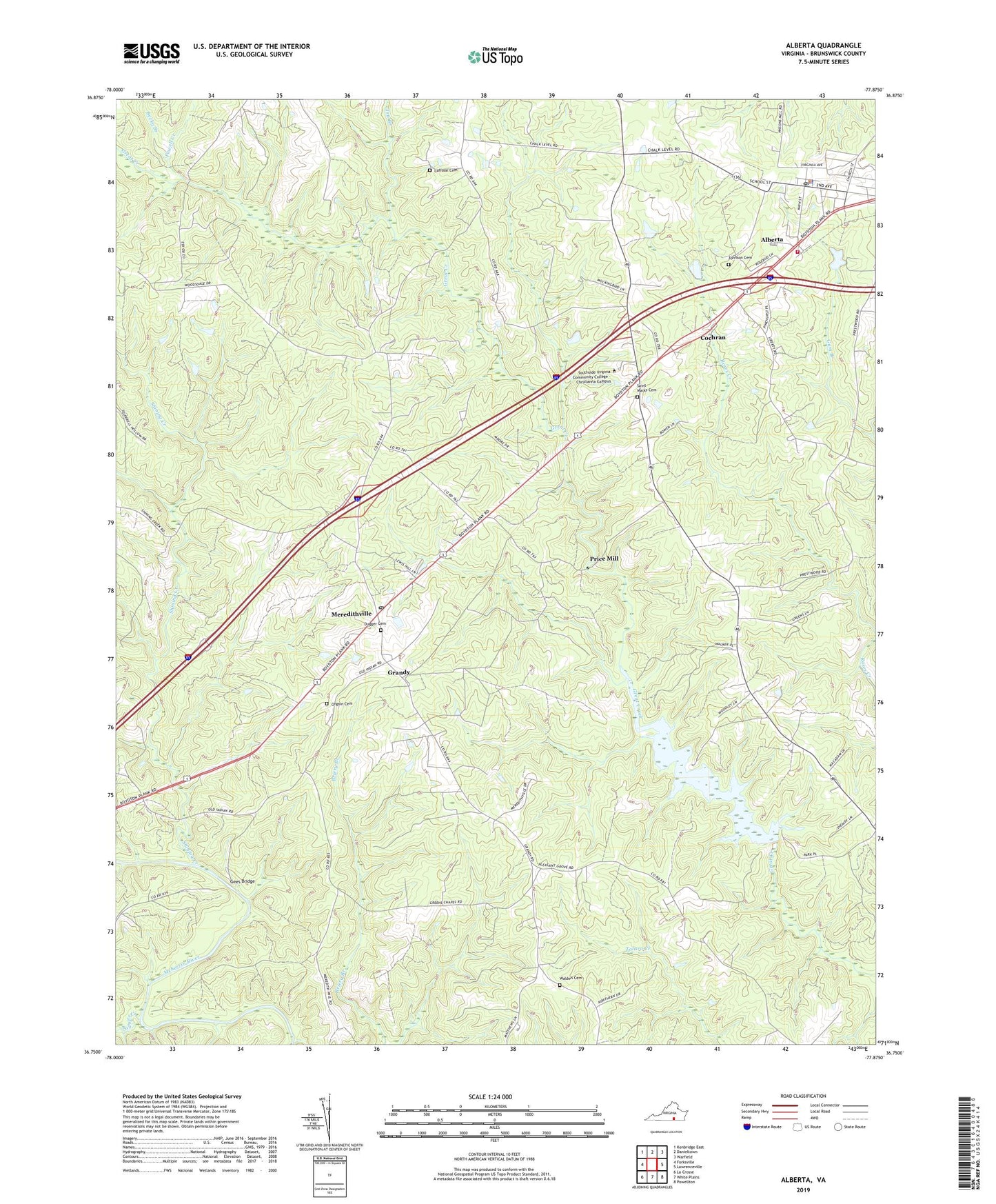
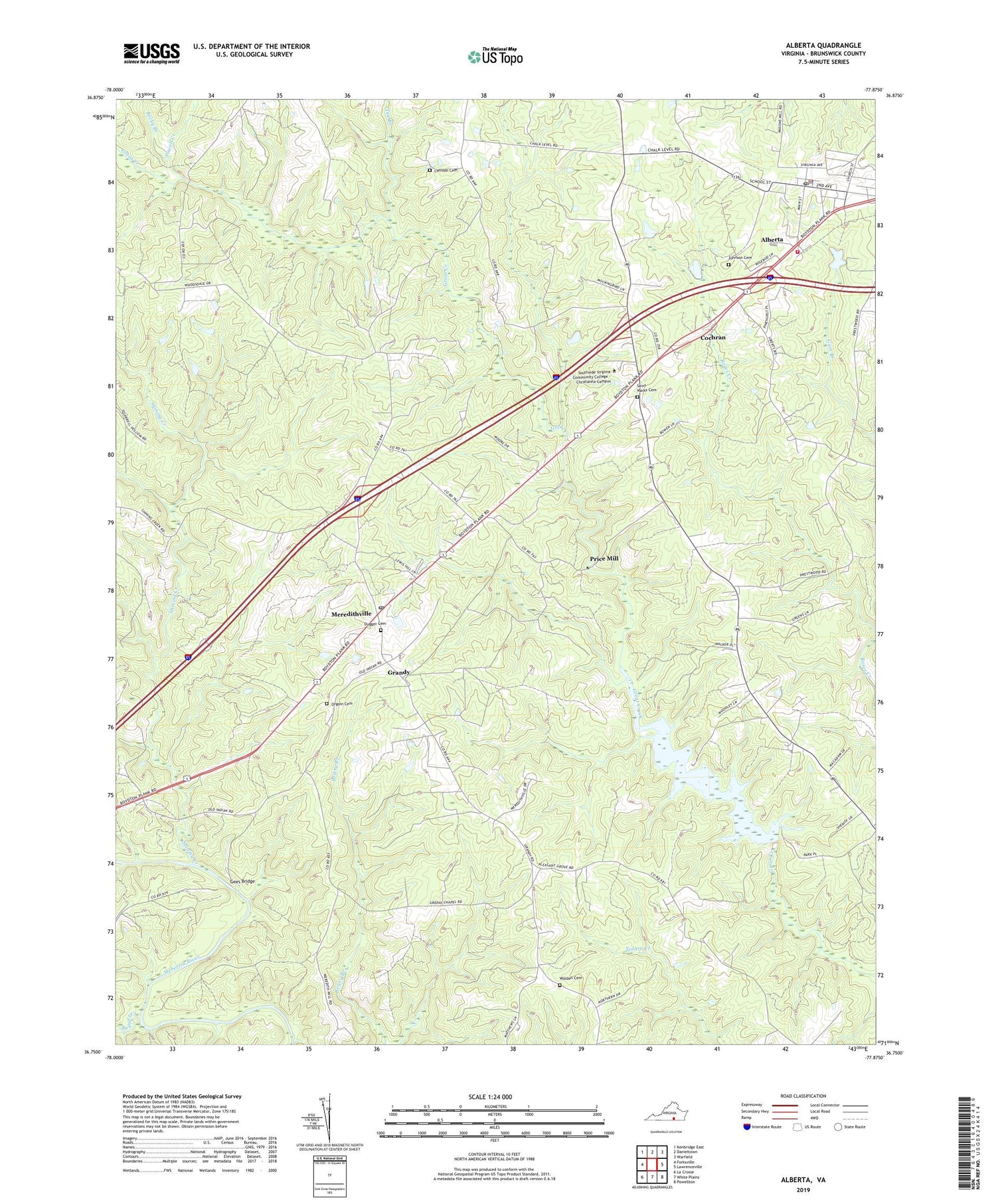
2019 topographic map quadrangle Alberta in the state of Virginia. Scale: 1:24000. Based on the newly updated USGS 7.5' US Topo map series, this map is in the following counties: Brunswick. The map contains contour data, water features, and other items you are used to seeing on USGS maps, but also has updated roads and other features. This is the next generation of topographic maps. Printed on high-quality waterproof paper with UV fade-resistant inks.
Quads adjacent to this one:
West: Forksville
Northwest: Kenbridge East
North: Danieltown
Northeast: Warfield
East: Lawrenceville
Southeast: Powellton
South: White Plains
Southwest: La Crosse
Contains the following named places: Alberta, Alberta Police Department, Alberta Post Office, Alberta Volunteer Fire Department Company 1, Becky Branch, Brooks School, Charlie Hope, Charlie Hope Number 1 School, Charlie Hope Number 2 School, Cochran, Dugger Cemetery, Epperson Dam, Gees Bridge, Grandy, Green Chapel, Gum Branch, Johnson Cemetery, L M Epperson Dam, Laffoon Cemetery, Meredithville, Meredithville Post Office, Oak Grove School, Ogden Church, Orgain Cemetery, Pleasant Grove Church, Powell Creek, Price Mill, Saint Marks Cemetery, Saint Marks Church, Saint Pauls Chapel, Salem Church, Shining Creek, Southside Virginia Community College - Christanna Campus, Taylors Creek, Tea Branch, Totaro District, Town of Alberta, Walden Cemetery, Woodsdale School