MyTopo
Ayer Washington US Topo Map
Couldn't load pickup availability
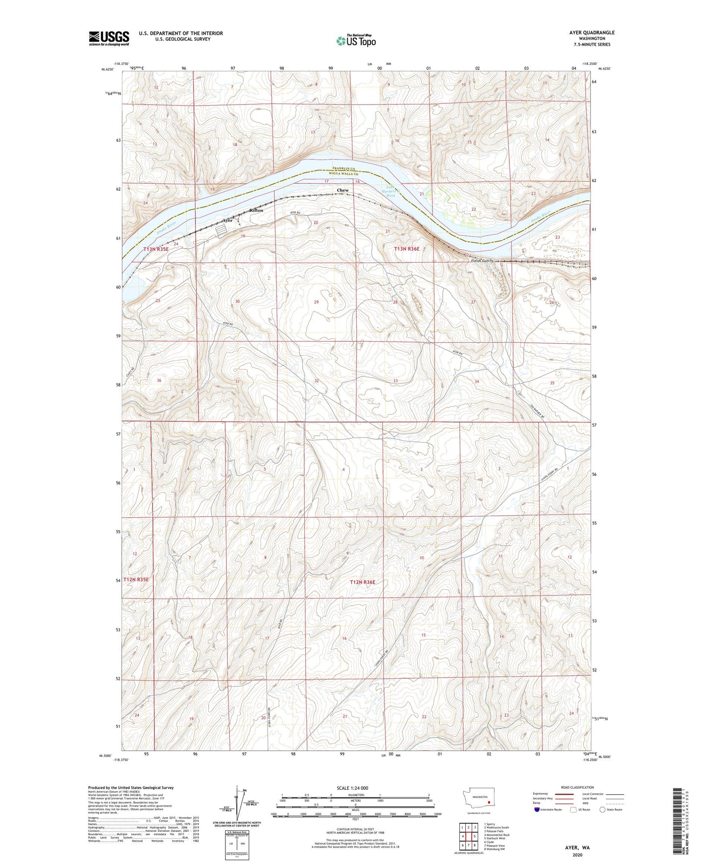
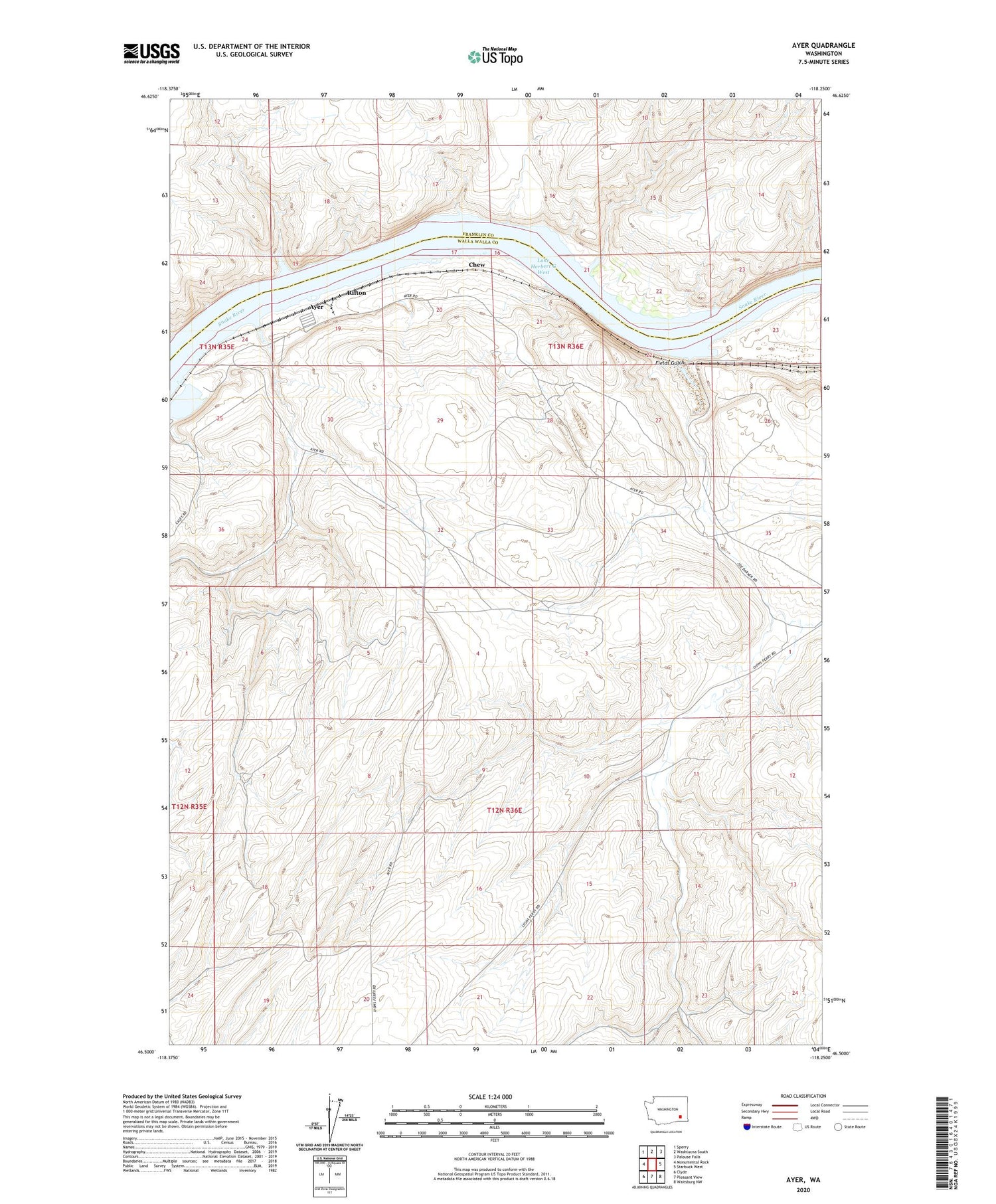
2020 topographic map quadrangle Ayer in the state of Washington. Scale: 1:24000. Based on the newly updated USGS 7.5' US Topo map series, this map is in the following counties: Walla Walla, Franklin. The map contains contour data, water features, and other items you are used to seeing on USGS maps, but also has updated roads and other features. This is the next generation of topographic maps. Printed on high-quality waterproof paper with UV fade-resistant inks.
Quads adjacent to this one:
West: Monumental Rock
Northwest: Sperry
North: Washtucna South
Northeast: Palouse Falls
East: Starbuck West
Southeast: Waitsburg NW
South: Pleasant View
Southwest: Clyde
Contains the following named places: Ayer, Ayer Boat Basin, Ayer Junction, Baker Farm, Chew, Davin, De Ruwe Farm, Fields Gulch, Lake West Dam, Lasater Farm, Rifton