MyTopo
Bacon Peak Washington US Topo Map
Couldn't load pickup availability
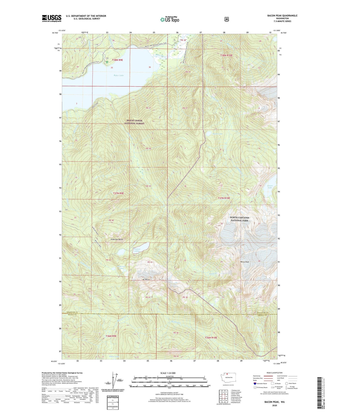
2020 topographic map quadrangle Bacon Peak in the state of Washington. Scale: 1:24000. Based on the newly updated USGS 7.5' US Topo map series, this map is in the following counties: Whatcom, Skagit. The map contains contour data, water features, and other items you are used to seeing on USGS maps, but also has updated roads and other features. This is the next generation of topographic maps. Printed on high-quality waterproof paper with UV fade-resistant inks.
Quads adjacent to this one:
West: Welker Peak
Northwest: Shuksan Arm
North: Mount Shuksan
Northeast: Mount Blum
East: Damnation Peak
Southeast: Marblemount
South: Sauk Mountain
Southwest: Lake Shannon
Contains the following named places: Anderson Butte, Anderson Butte Lookout, Anderson Lakes, Bacon Peak, Baker Lake Guard Station, Baker Lake Lookout, Chadwick Creek, Ermine Creek, Green Lake, Hidden Creek, Ipsoot Lake, Mount Watson, Noisy Creek, Noisy-Diobsud Wilderness, Shannon Creek, Shannon Creek Campground, Silver Creek, Watson Lakes