MyTopo
Barker Mountain Washington US Topo Map
Couldn't load pickup availability
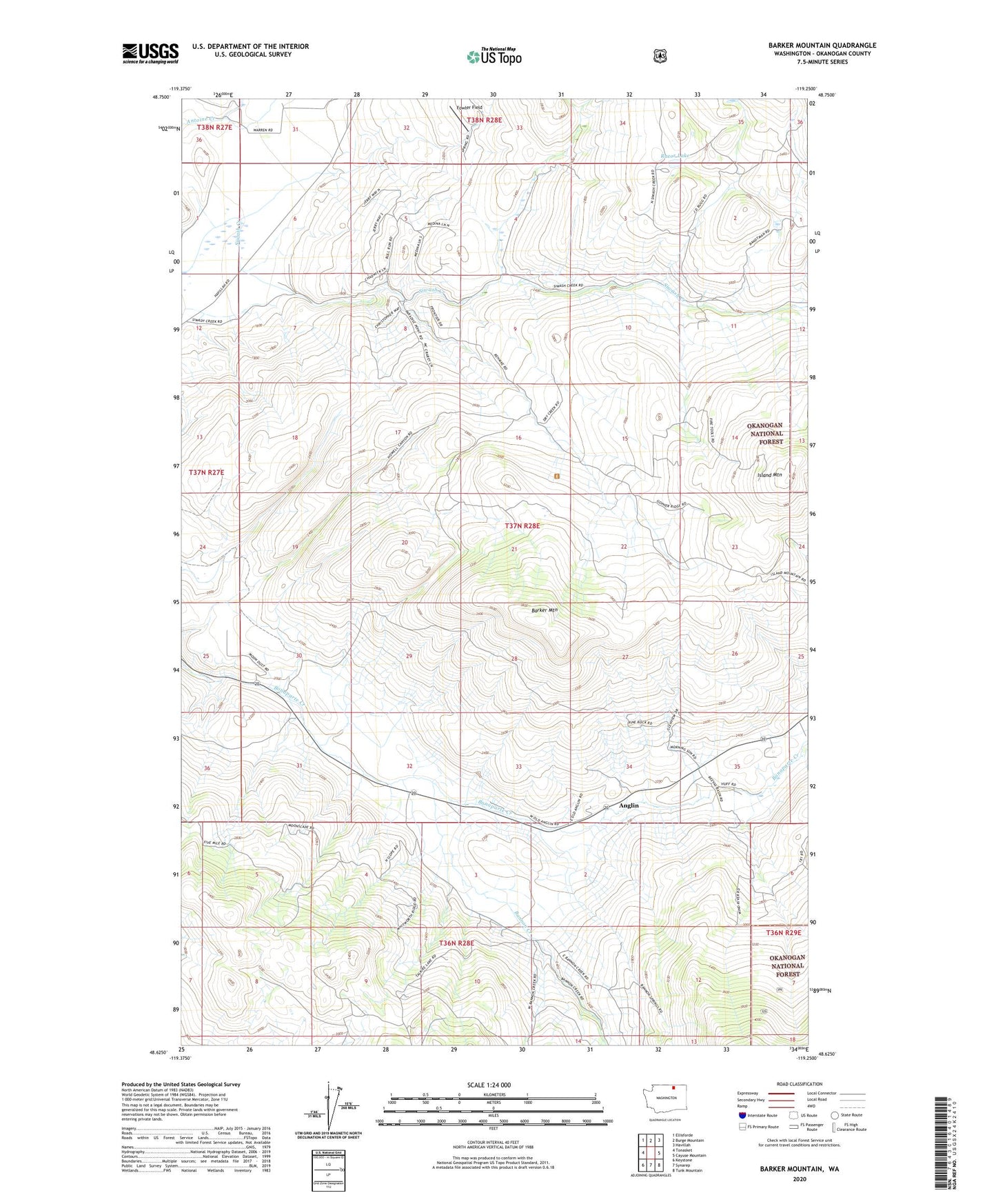
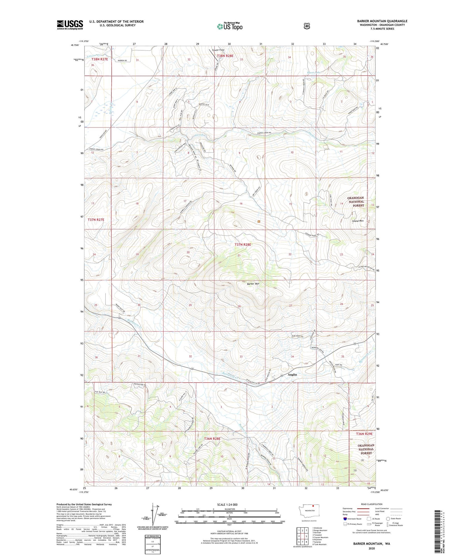
2020 topographic map quadrangle Barker Mountain in the state of Washington. Scale: 1:24000. Based on the newly updated USGS 7.5' US Topo map series, this map is in the following counties: Okanogan. The map contains contour data, water features, and other items you are used to seeing on USGS maps, but also has updated roads and other features. This is the next generation of topographic maps. Printed on high-quality waterproof paper with UV fade-resistant inks.
Quads adjacent to this one:
West: Tonasket
Northwest: Ellisforde
North: Burge Mountain
Northeast: Havillah
East: Cayuse Mountain
Southeast: Tunk Mountain
South: Synarep
Southwest: Keystone
Contains the following named places: Anglin, Bannon Creek, Barker Mountain, Fowler Field, Island Mountain, Razor Lake, Whisky Cache Creek, ZIP Code: 98855