MyTopo
Alderwood Lake Wisconsin US Topo Map
Couldn't load pickup availability
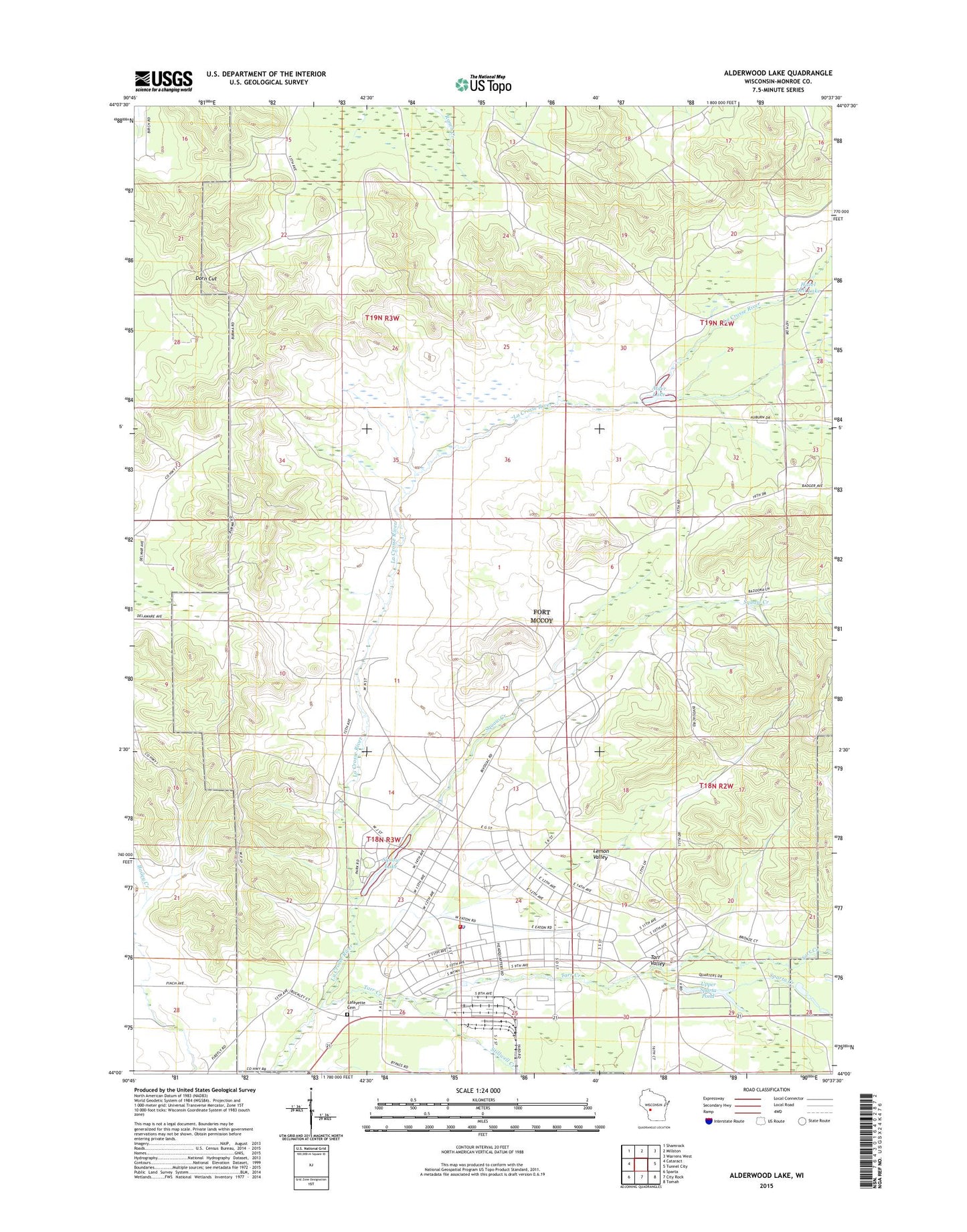
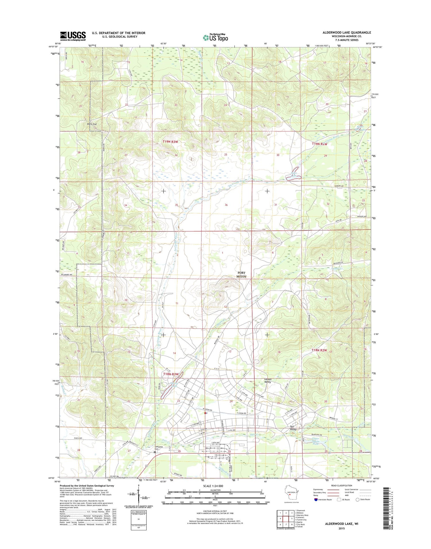
2018 topographic map quadrangle Alderwood Lake in the state of Wisconsin. Scale: 1:24000. Based on the newly updated USGS 7.5' US Topo map series, this map is in the following counties: Monroe. The map contains contour data, water features, and other items you are used to seeing on USGS maps, but also has updated roads and other features. This is the next generation of topographic maps. Printed on high-quality waterproof paper with UV fade-resistant inks.
Quads adjacent to this one:
West: Cataract
Northwest: Shamrock
North: Millston
Northeast: Warrens West
East: Tunnel City
Southeast: Tomah
South: City Rock
Southwest: Sparta
Contains the following named places: Alder Lake 19, Alder Lake WP358 Dam, Alderwood Lake, Camp McCoy, Dorn Cut, Fort McCoy, Fort McCoy Fire Department Main Station, Fort Mccoy Police Department, Greenfield Fire Tower, Hazel Dell Lake, Lafayette Cemetery, Lemon Valley, Sparta Creek, Stillwell Creek, Suukjak Sep Creek, Suukjak Sep Lake, Tarr Creek, Tarr Valley, Town of Lafayette, Town of New Lyme, Upper Sparta Pond