MyTopo
Alvin SW Wisconsin US Topo Map
Couldn't load pickup availability
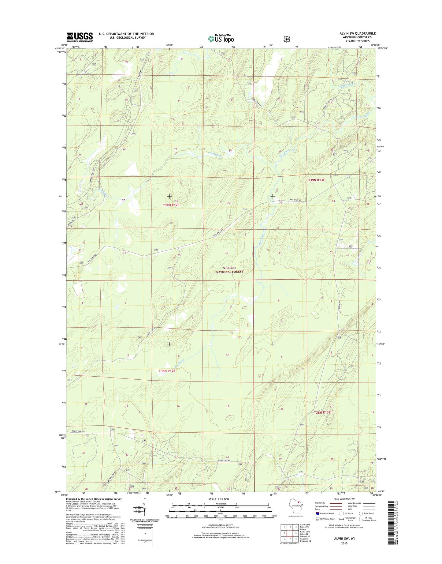
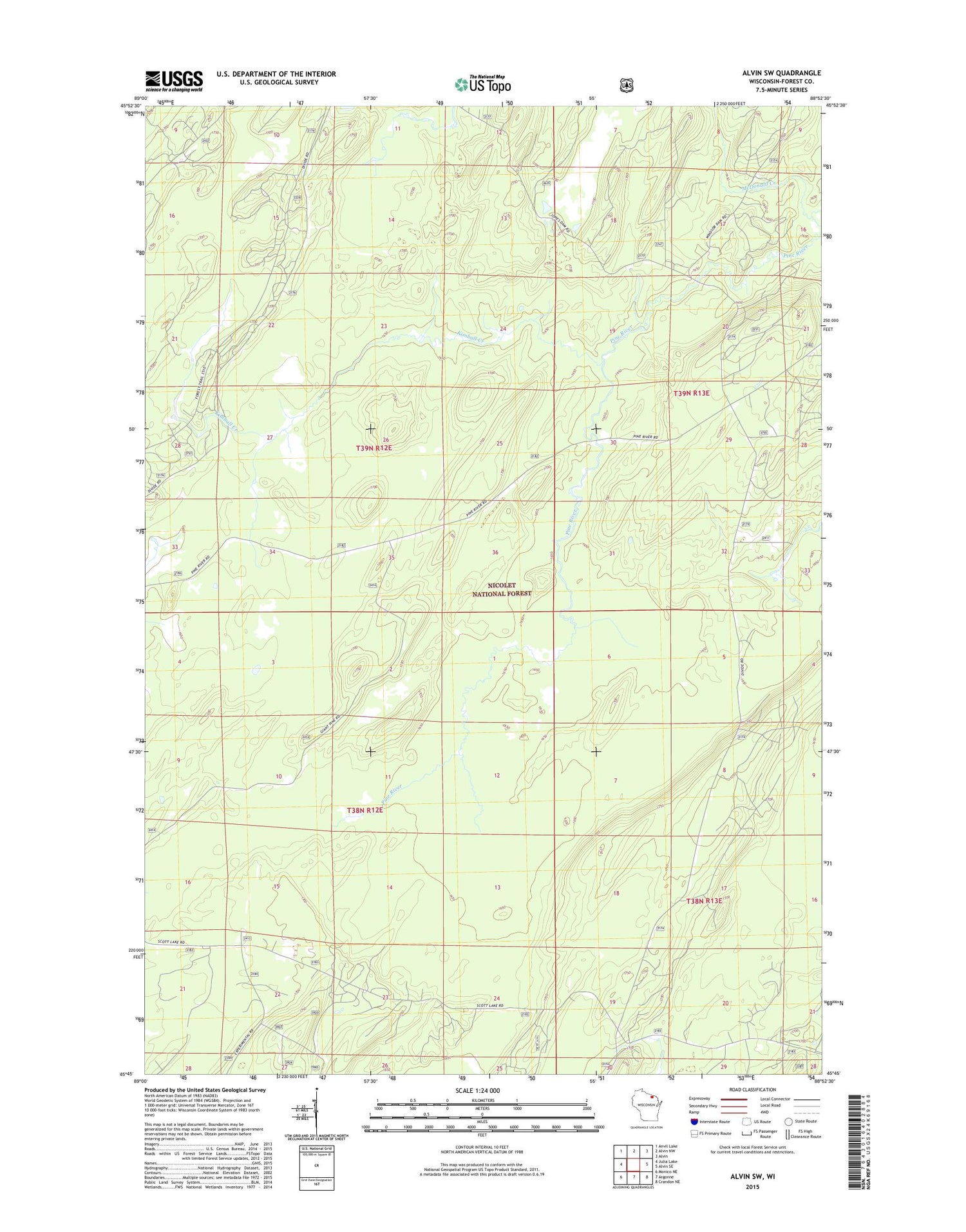
2018 topographic map quadrangle Alvin SW in the state of Wisconsin. Scale: 1:24000. Based on the newly updated USGS 7.5' US Topo map series, this map is in the following counties: Forest. The map contains contour data, water features, and other items you are used to seeing on USGS maps, but also has updated roads and other features. This is the next generation of topographic maps. Printed on high-quality waterproof paper with UV fade-resistant inks.
Quads adjacent to this one:
West: Julia Lake
Northwest: Anvil Lake
North: Alvin NW
Northeast: Alvin
East: Alvin SE
Southeast: Crandon NE
South: Argonne
Southwest: Monico NE
Contains the following named places: Giant Pine Grove Point of Interest, Giant Pine Ski and Hike Parking Lot, Giant White Pine Grove State Natural Area, Headwaters Wilderness, Jones Dam Camp Grounds, Kimball Creek, Kimball Creek Trail, McDonald Creek, Pine River Campground, Town of Hiles