MyTopo
Augustine Lake Wisconsin US Topo Map
Couldn't load pickup availability
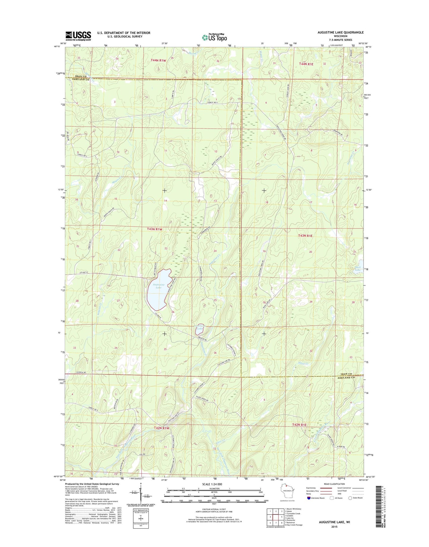
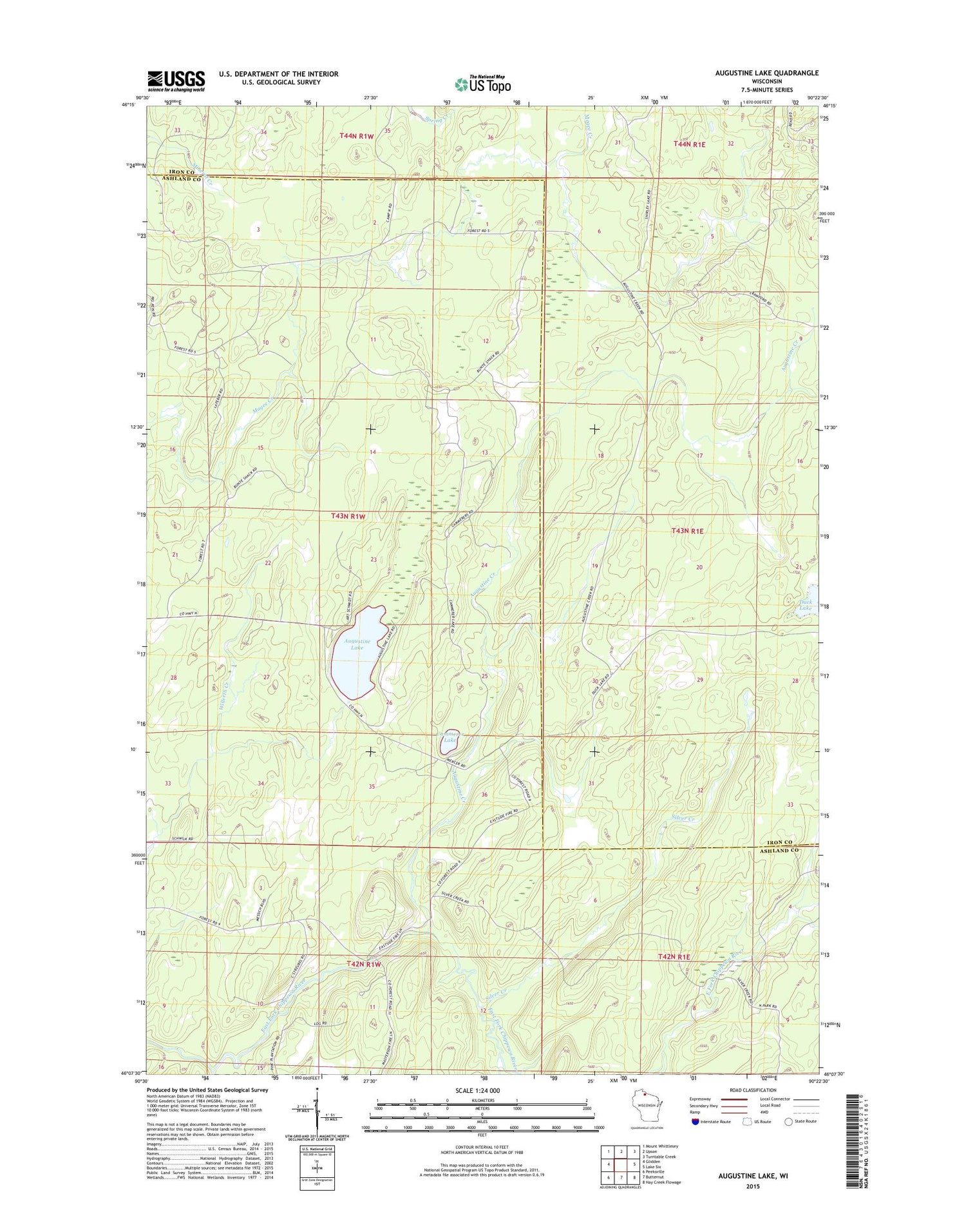
2018 topographic map quadrangle Augustine Lake in the state of Wisconsin. Scale: 1:24000. Based on the newly updated USGS 7.5' US Topo map series, this map is in the following counties: Ashland, Iron. The map contains contour data, water features, and other items you are used to seeing on USGS maps, but also has updated roads and other features. This is the next generation of topographic maps. Printed on high-quality waterproof paper with UV fade-resistant inks.
Quads adjacent to this one:
West: Glidden
Northwest: Mount Whittlesey
North: Upson
Northeast: Turntable Creek
East: Lake Six
Southeast: Hay Creek Flowage
South: Butternut
Southwest: Peeksville
Contains the following named places: Augustine Creek, Augustine Lake, Cammerer Lake, Duck Lake, Hildebrandt Creek, Silver Creek