MyTopo
Acme Wyoming US Topo Map
Couldn't load pickup availability
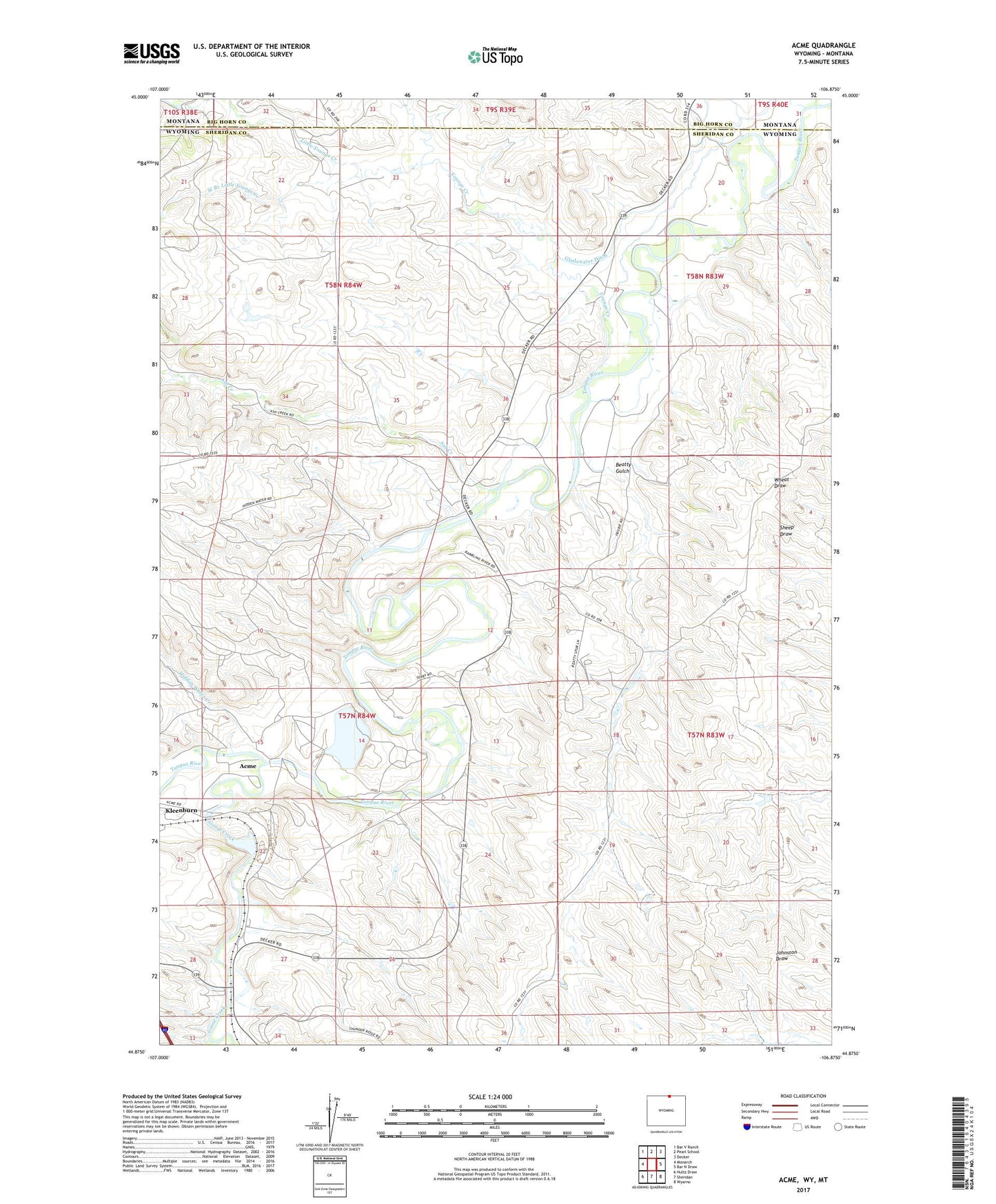
2021 topographic map quadrangle Acme in the states of Wyoming, Montana. Scale: 1:24000. Based on the newly updated USGS 7.5' US Topo map series, this map is in the following counties: Sheridan, Big Horn. The map contains contour data, water features, and other items you are used to seeing on USGS maps, but also has updated roads and other features. This is the next generation of topographic maps. Printed on high-quality waterproof paper with UV fade-resistant inks.
Quads adjacent to this one:
West: Monarch
Northwest: Bar V Ranch
North: Pearl School
Northeast: Decker
East: Bar N Draw
Southeast: Wyarno
South: Sheridan
Southwest: Hultz Draw
Contains the following named places: 09S39E32CDAD01 Well, 09S39E33DDCC01 Well, 09S39E33DDCC02 Well, 09S39E33DDCD01 Well, 09S39E33DDDD01 Well, 09S39E34CCCC01 Well, 09S39E34CDCD01 Well, 58N84W23ABBC01 Well, 58N84W23BBCB01 Well, 58N84W23BBCB02 Well, Acme, Acme Number Forty-two Mine, Acme Number Two Mine, Ash Creek, Beatty Gulch, Big Horn Mine, Big Horn Number One Mine, Bighorn Mine, Dietz Number Five and Eight Mine, Evans Mine, Gladewater Ditch, Goose Creek, Hidden Water Creek, Hotchkiss Number Two Mine, Interstate Ditch, Little Youngs Creek, New Acme Mine, PSO Number One Mine, Roland Mine, Tongue River Stone Company Mine, Welch Number One North Mine, Welch Number One South Mine, Welch Number Two Mine, West Branch Little Youngs Creek, Whitney Mine, Youngs Creek, Youngs Creek Mine, Zowada Pit and Plachet Pit Mine