MyTopo
Arapahoe Wyoming US Topo Map
Couldn't load pickup availability
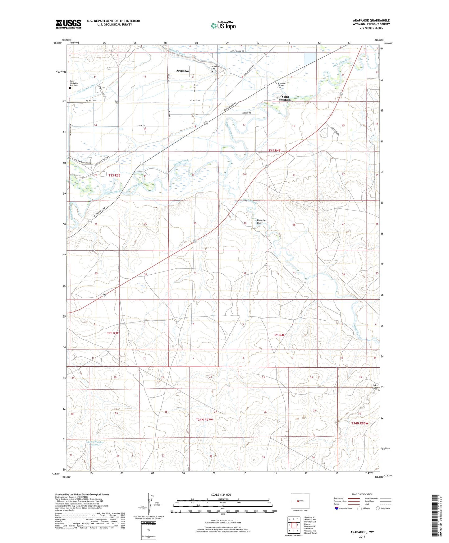
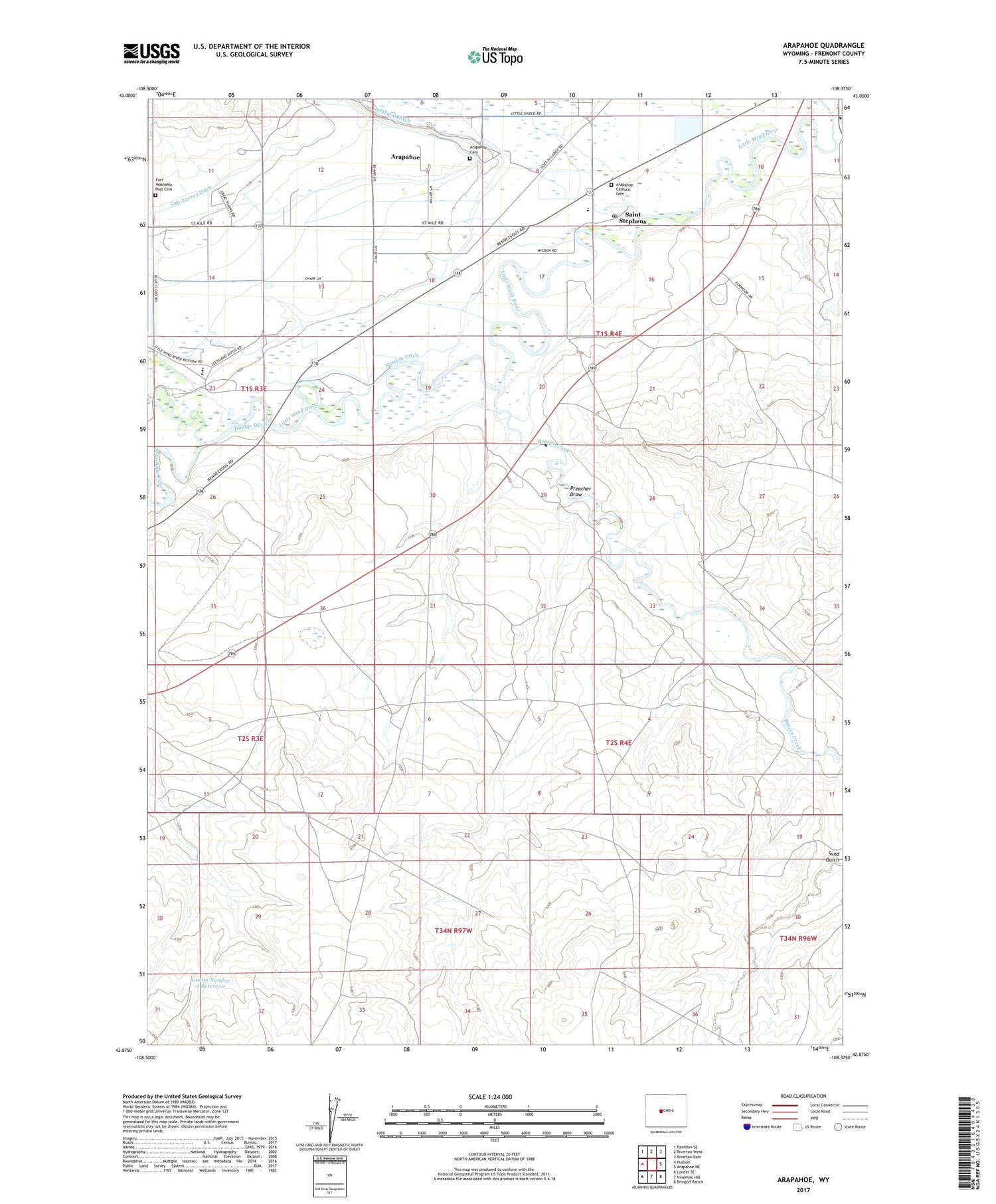
2021 topographic map quadrangle Arapahoe in the state of Wyoming. Scale: 1:24000. Based on the newly updated USGS 7.5' US Topo map series, this map is in the following counties: Fremont. The map contains contour data, water features, and other items you are used to seeing on USGS maps, but also has updated roads and other features. This is the next generation of topographic maps. Printed on high-quality waterproof paper with UV fade-resistant inks.
Quads adjacent to this one:
West: Hudson
Northwest: Pavillion SE
North: Riverton West
Northeast: Riverton East
East: Arapahoe NE
Southeast: Bringolf Ranch
South: Ninemile Hill
Southwest: Lander SE
Contains the following named places: Arapaho Elementary School, Arapahoe, Arapahoe Catholic Cemetery, Arapahoe Cemetery, Arapahoe Census Designated Place, Arapahoe Middle School, Beaver Creek, Double Ditch, Fort Washakie Post Cemetery, Gustin Number 2 Reservoir, Lefthand Ditch, Mission Ditch, Popo Agie River, Preacher Draw, Saint Stephens, Saint Stephens Post Office, Sub-Agency Ditch