MyTopo
Austin Reservoir Wyoming US Topo Map
Couldn't load pickup availability
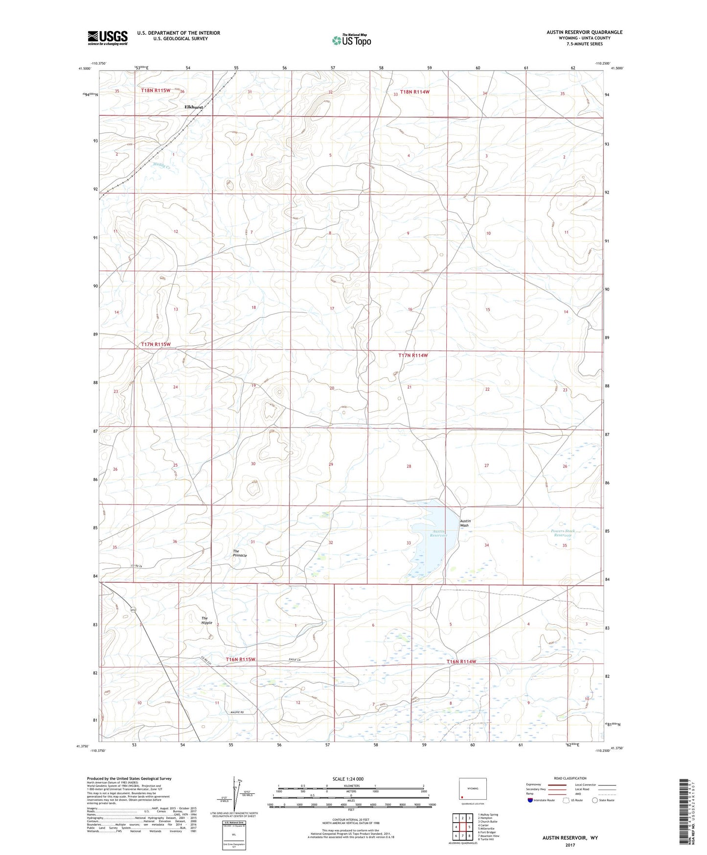
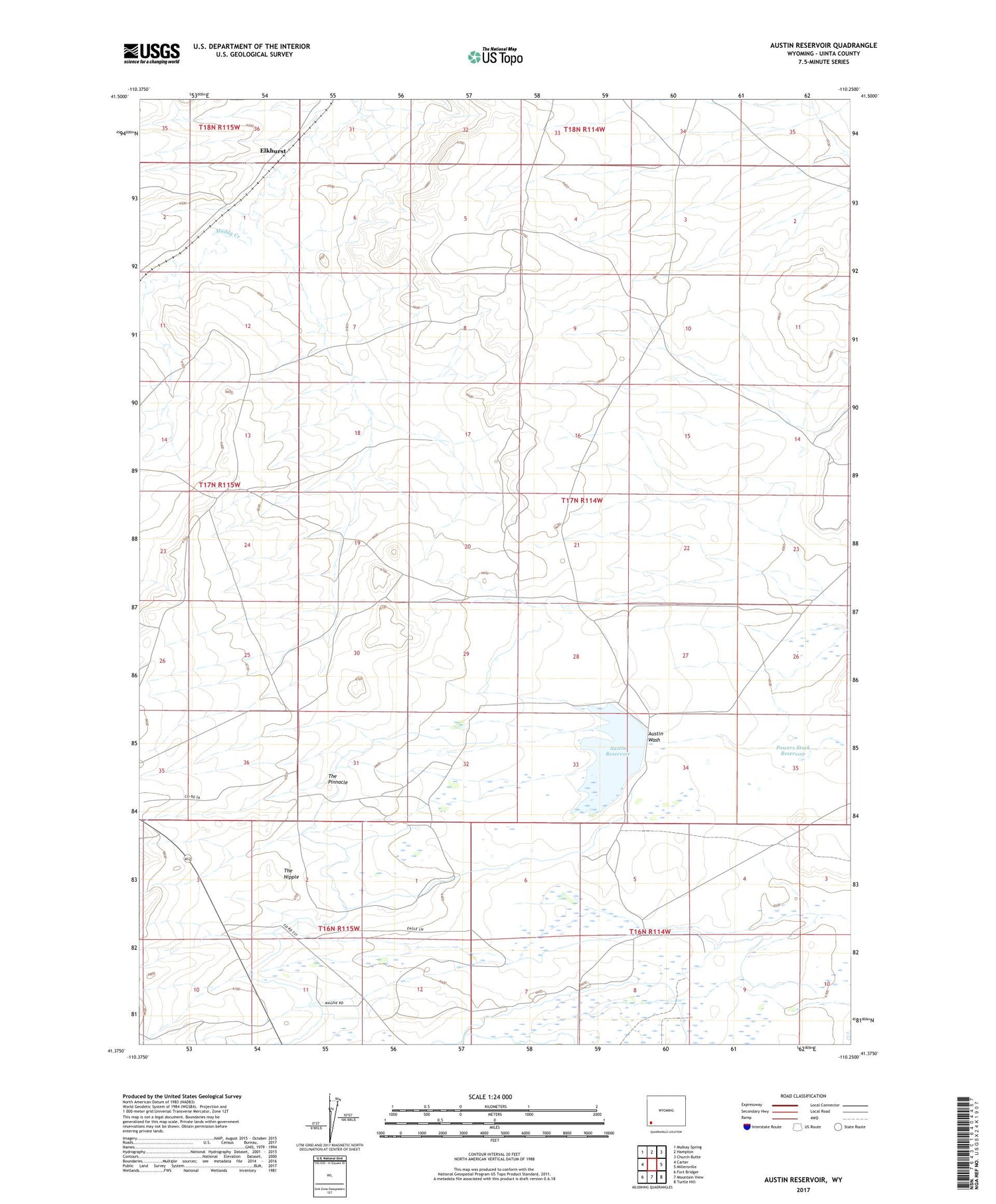
2021 topographic map quadrangle Austin Reservoir in the state of Wyoming. Scale: 1:24000. Based on the newly updated USGS 7.5' US Topo map series, this map is in the following counties: Uinta. The map contains contour data, water features, and other items you are used to seeing on USGS maps, but also has updated roads and other features. This is the next generation of topographic maps. Printed on high-quality waterproof paper with UV fade-resistant inks.
Quads adjacent to this one:
West: Carter
Northwest: Mulkay Spring
North: Hampton
Northeast: Church Butte
East: Millersville
Southeast: Turtle Hill
South: Mountain View
Southwest: Fort Bridger
Contains the following named places: Austin Canal, Austin Reservoir, Elkhurst, Powers Stock Dam, Powers Stock Reservoir, The Nipple, The Pinnacle