
MyTopo
Ayres Spring Wyoming US Topo Map
Couldn't load pickup availability
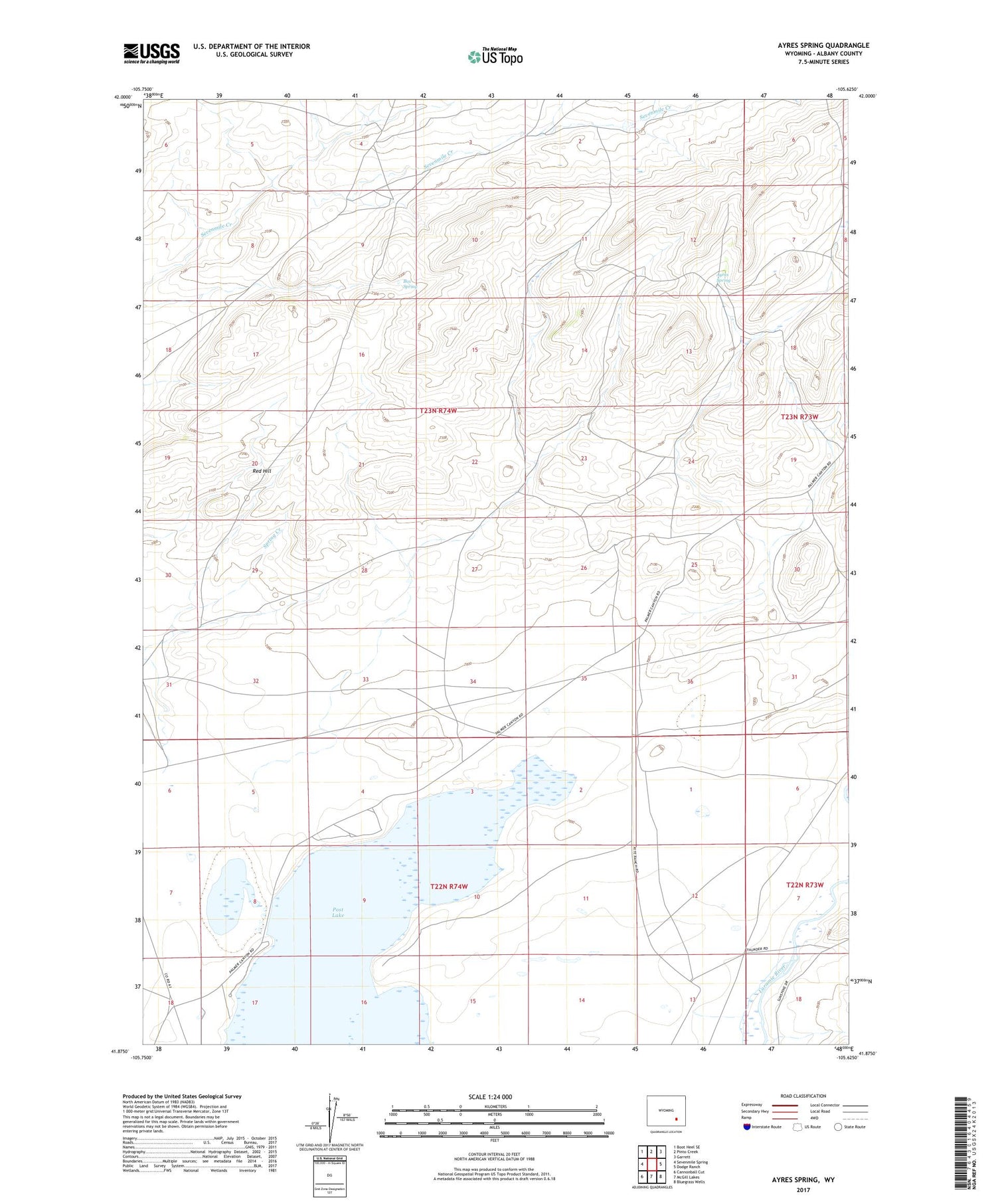
2021 topographic map quadrangle Ayres Spring in the state of Wyoming. Scale: 1:24000. Based on the newly updated USGS 7.5' US Topo map series, this map is in the following counties: Albany. The map contains contour data, water features, and other items you are used to seeing on USGS maps, but also has updated roads and other features. This is the next generation of topographic maps. Printed on high-quality waterproof paper with UV fade-resistant inks.
Quads adjacent to this one:
West: Sevenmile Spring
Northwest: Boot Heel SE
North: Pinto Creek
Northeast: Garrett
East: Dodge Ranch
Southeast: Bluegrass Wells
South: McGill Lakes
Southwest: Cannonball Cut
Contains the following named places: Ayres Spring, Box Spring, Lime Creek Dam, Lime Creek Reservoir, Post Lake, Pyramid Prospects Number One, Pyramid Prospects Number Three, Pyramid Prospects Number Two, Red Hill, Wheatland Number 3 Dam


