MyTopo
Bader Draw Wyoming US Topo Map
Couldn't load pickup availability
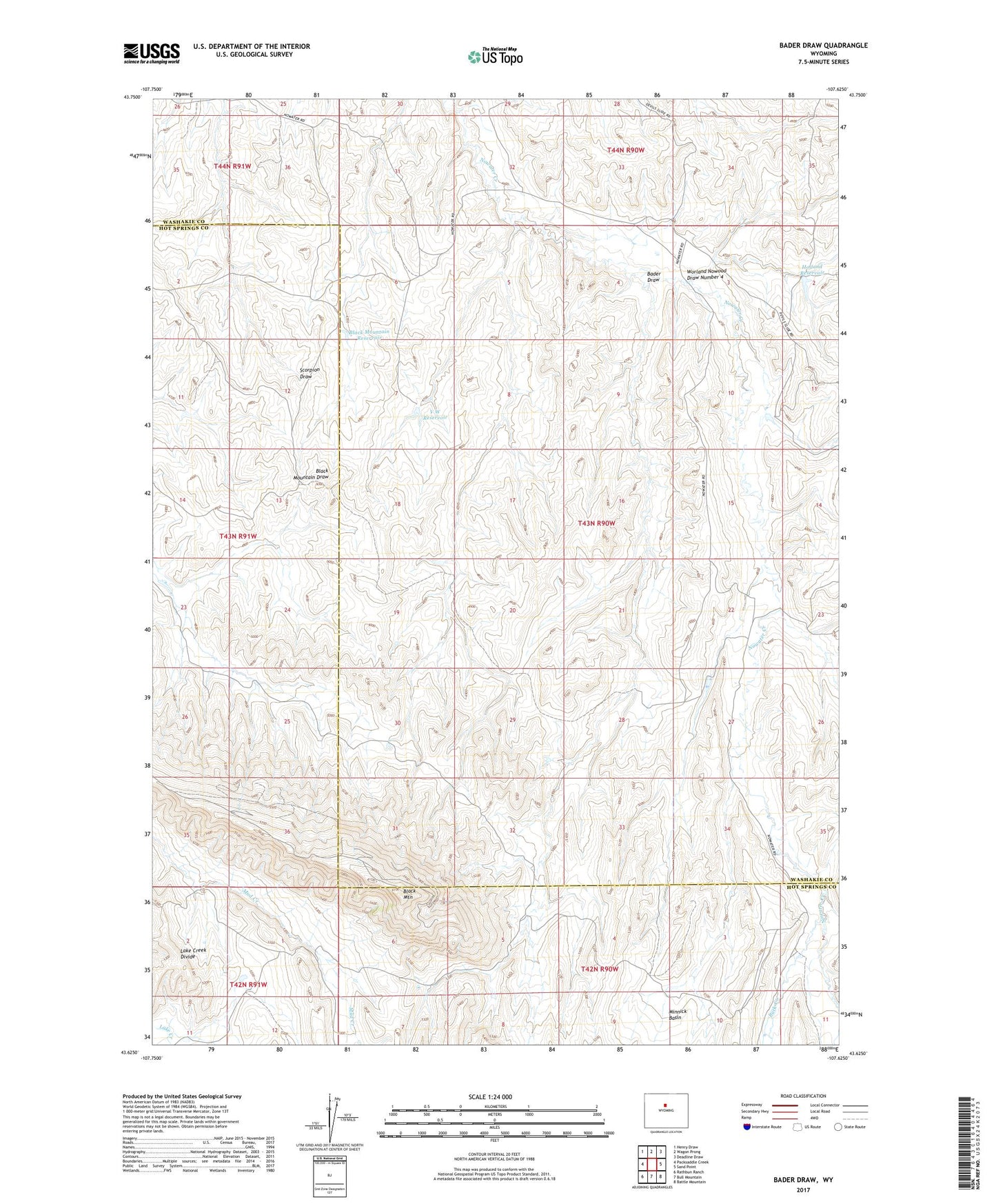
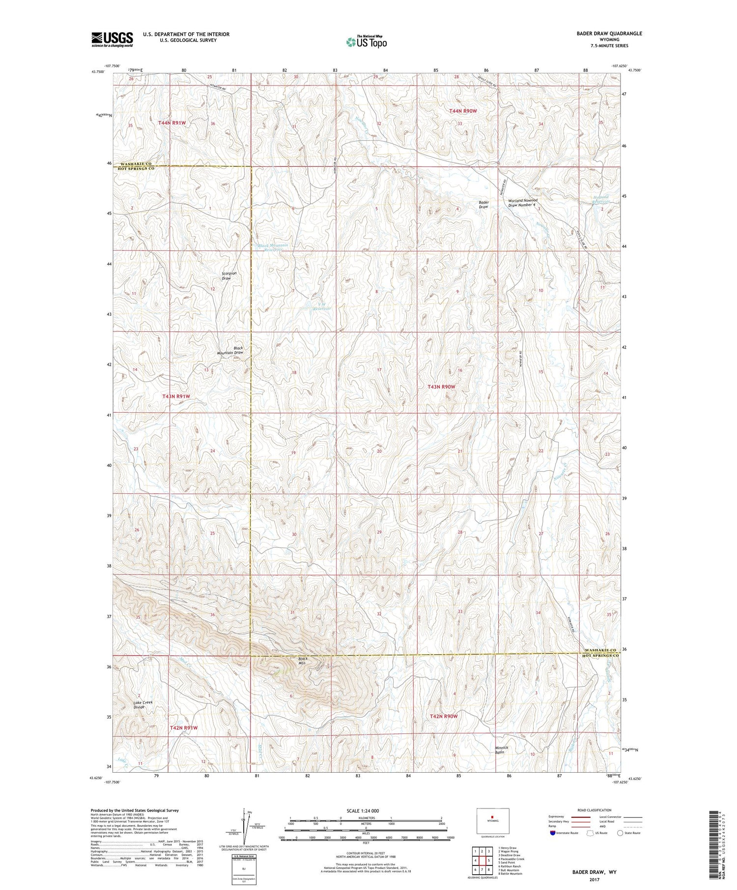
2021 topographic map quadrangle Bader Draw in the state of Wyoming. Scale: 1:24000. Based on the newly updated USGS 7.5' US Topo map series, this map is in the following counties: Washakie, Hot Springs. The map contains contour data, water features, and other items you are used to seeing on USGS maps, but also has updated roads and other features. This is the next generation of topographic maps. Printed on high-quality waterproof paper with UV fade-resistant inks.
Quads adjacent to this one:
West: Packsaddle Creek
Northwest: Henry Draw
North: Wagon Prong
Northeast: Deadline Draw
East: Sand Point
Southeast: Battle Mountain
South: Bull Mountain
Southwest: Rathbun Ranch
Contains the following named places: Arnold Dam, Arnold Reservoir, Bader Draw, Black Mountain, Black Mountain Reservoir, Buck Creek, Cottonwood Draw, Holland Reservoir, Holland Winter Camp, Scorpion Well, Seaman Ranch, V W Reservoir, Worland Nowood Draw Number 4