MyTopo
East Brookfield Massachusetts US Topo Map
Couldn't load pickup availability
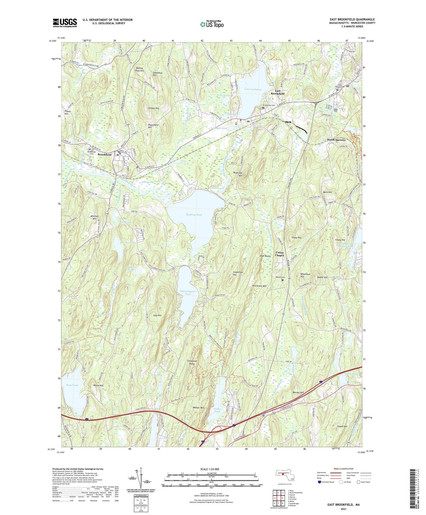
2021 topographic map quadrangle East Brookfield in the state of Massachusetts. Scale: 1:24000. Based on the newly updated USGS 7.5' US Topo map series, this map is in the following counties: Worcester. The map contains contour data, water features, and other items you are used to seeing on USGS maps, but also has updated roads and other features. This is the next generation of topographic maps. Printed on high-quality waterproof paper with UV fade-resistant inks.
Quads adjacent to this one:
West: Warren
Northwest: Ware
North: North Brookfield
Northeast: Paxton
East: Leicester
Southeast: Webster
South: Southbridge
Southwest: Wales
Contains the following named places: Allen Swamp, Alum Pond, Alum Pond Dam, Ashworth Dam, Bare Hill, Barnes Hill, Blanchard Hill, Bonnie View Hill, Brookfield, Brookfield Cemetery, Brookfield Census Designated Place, Brookfield Common Historic District, Brookfield Congregational Church, Brookfield Elementary School, Brookfield Fire Department, Brookfield Post Office, Brookfield Town Hall, Buxton Hill Pond Dam, Camp Day, Carpenter Hill, Carpenter Rocks, Casey Hill, Claypit Pond, Cooley Hill, Cranberry Meadow Pond, Cranberry Meadow Pond Dam, Cranberry Pond, Cranberry River, Doane Hill, Dunn Brook, East Brookfield, East Brookfield Baptist Church, East Brookfield Census Designated Place, East Brookfield Elementary School, East Brookfield Fire Department, East Brookfield Police Department, East Brookfield Post Office, East Brookfield River, East Brookfield Town Hall, Elm Hill Farm Historic District, Evergreen Cemetery, Fish Pond, Fish Pond Dam C, Fivemile River, Forget-me-not Brook, Foster Hill, Gay Hill, Great Brook, Great Swamp, Heritage Country Club, High Rocks, Hitchcock Mountain, Holy Rosary Cemetery, Howe Pond Dam, Hyland Orchard, Lake Lashaway, Lake Lashaway Dam, Lakeside Campground, Lashway Intermediate School, Lower Sibley Pond, Lower Sibley Pond Dam, Mall Common, Massachusetts State Police Charlton Barracks, Massachusetts State Police Station C3 Brookfield Barracks, Memorial School, Mitchell Hill, Mud Pond, Mystic Grove, Nonatomqua Mobile Home Park, Perry Pond, Podunk Cemetery, Quaboag Pond, Quacumquasit Pond, Rice Pond, Rice Reservoir, Saint Marys Church, Salmon Brook, Saw Mill Pond Dam, Sevenmile River, Sibley Ponds, Snake Hill, South Spencer, Spencer Fire Department, Spencer Police Department, Spencer Rescue and Emergency Squad, Spencer Shopping Center, Stone Hill, Teneriffe Hill, Town of Brookfield, Town of East Brookfield, Trout Brook, Union Chapel, Upper Sibley Pond, Walker Mountain, Walker Pond, Wells State Park, Wheelock Hill, White Hill, Willow Brook, Wolf Swamp, WVNE-AM (Leicester), Zalatores Hill, ZIP Codes: 01506, 01515, 01518