MyTopo
Leicester Massachusetts US Topo Map
Couldn't load pickup availability
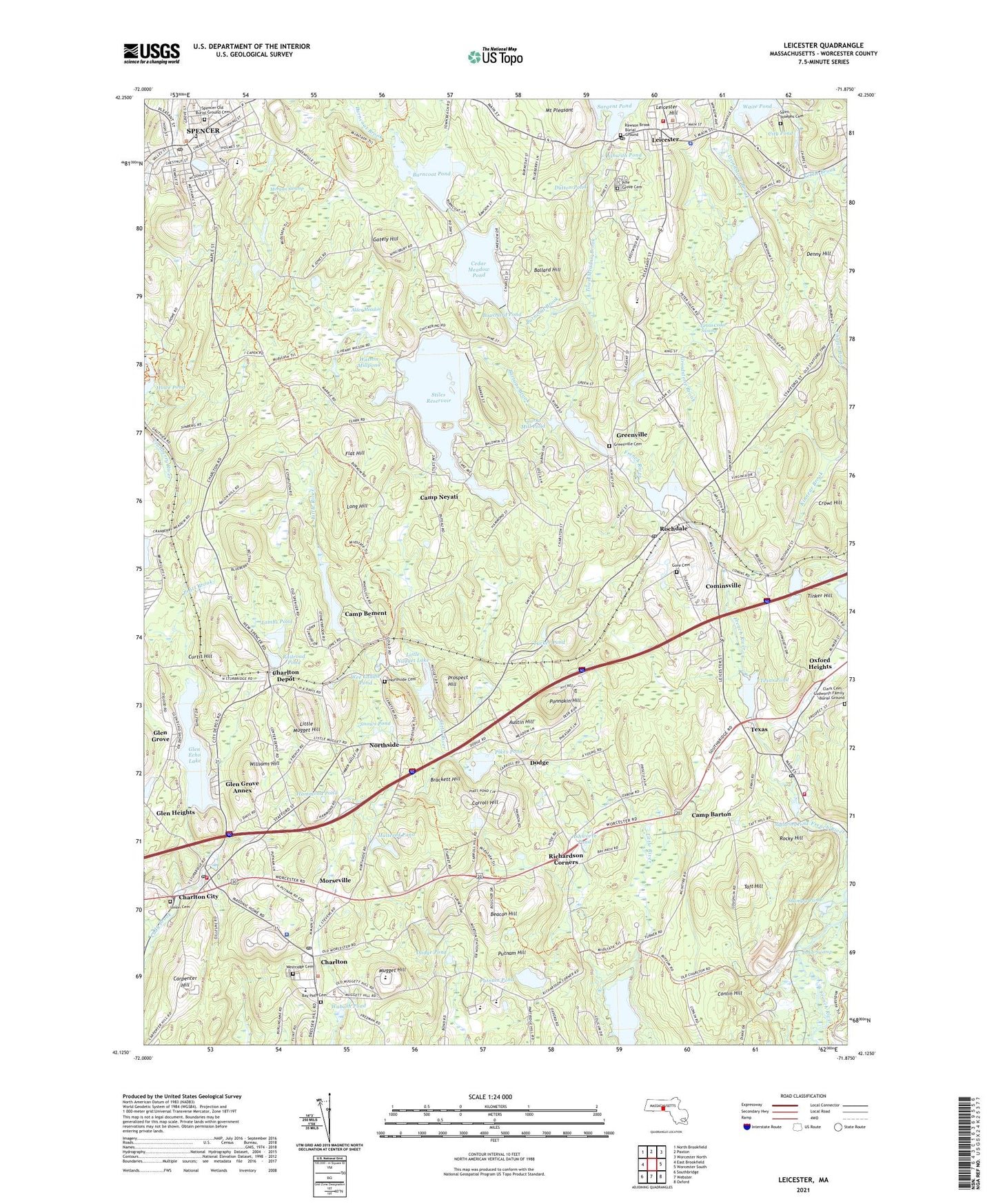
2024 topographic map quadrangle Leicester in the state of Massachusetts. Scale: 1:24000. Based on the newly updated USGS 7.5' US Topo map series, this map is in the following counties: Worcester. The map contains contour data, water features, and other items you are used to seeing on USGS maps, but also has updated roads and other features. This is the next generation of topographic maps. Printed on high-quality waterproof paper with UV fade-resistant inks.
Quads adjacent to this one:
West: East Brookfield
Northwest: North Brookfield
North: Paxton
Northeast: Worcester North
East: Worcester South
Southeast: Oxford
South: Webster
Southwest: Southbridge
Contains the following named places: Alder Meadow, Ashwith Pond, Ashworth Pond, Austin Hill, Ballard Hill, Bartons Brook, Bay Path Cemetery, Bay Path Regional Vocational Technical High School, Beacon Hill, Bouchard Pond, Brackett Hill, Burncoat Brook, Burncoat Pond, Burncoat Pond Dam, Camp Barton, Camp Bement, Camp Joslin, Camp Neyati, Carpenter Hill, Carroll Hill, Cedar Meadow Pond, Cedar Meadow Pond Dam, Cedar Swamp, Charlton, Charlton Baptist Church, Charlton City, Charlton City Post Office, Charlton Depot, Charlton Elementary School, Charlton Federated Church, Charlton Fire Department, Charlton Middle School, Charlton Orchard, Charlton Police Department, Charlton Post Office, Christ Episcopal Church, Church of Christ, Cider Millpond, City Pond, Clarks Mill Pond, Cominsville, Conlin Hill, Crowl Hill, Curtis Hill, David Prouty Intermediate School, Denny Hill, Dodge, Dodge Pond, Dutton Pond, Fay Mountain Farm, First Baptist Church, Flat Hill, Gately Hill, Glen Echo Lake, Glen Echo Lake Dam, Glen Grove, Glen Grove Annex, Glen Heights, Gore Cemetery, Great Cedar Swamp, Greenville, Greenville Baptist Church, Greenville Cemetery, Greenville Pond, Greenville Pond Dam, Grindstone Brook, Hammond Pond, Henshaw Pond, Hillcrest Country Club, Howe Pond, Hultered Pond, Jones Pond, Jones Pond Dam, Knox Trail Junior High School, Knox Trail Regional Junior High School Library, Lake Street School, Lambs Pond, Leicester, Leicester Emergency Medical Service, Leicester Fire Department, Leicester Hill, Leicester Junior College, Leicester Memorial Elementary School, Leicester Middle School, Leicester Police Department, Leicester Post Office, Leicester Public Library, Little Mugget Hill, Little Nugget Lake, Little Nugget Lake Dam, Long Hill, Methodist Church of Spencer, Morgan Swamp, Morseville, Mount Pleasant, Mugget Hill, North Oxford Post Office, Northside, Northside Cemetery, Northside Village Historic District, Oxford Airport Incorporated, Oxford Fire Department Station 2, Oxford Heights, Paul Swan Library, Pikes Pond, Pikes Pond Dam, Pine Grove Cemetery, Ponnakin Hill, Pratt Brook, Prospect Hill, Putnam Hill, Putnam Pond, Putnam Pond Dam, Putnams Village, Railroad Pond, Rawson Brook Burial Ground, Richardson Corners, Rochdale, Rochdale Pond, Rochdale Pond Dam, Rochdale Post Office, Rocky Hill, Russell Memorial Park, Saint Josephs Cemetery, Saint Josephs Church, Saint Josephs School, Sargent Pond, Sargent Pond Dam, Sigourney Pond, Snows Pond, Spencer, Spencer Census Designated Place, Spencer Post Office, Spencer State Forest, Spencer Town Center Historic District, Spencer Town Hall, Spencers Shoppers Village Shopping Center, Stiles Reservoir, Stiles Reservoir Dam, Strawberry Hills Golf Course, Stumpy Pond, Taft Hill, Texas, Texas Pond, Tinker Hill, Town Meadow Brook, Town of Charlton, Town of Leicester, Town of Spencer, Tucker Pond, Union Cemetery, Wabash Pond, Waite Pond, Waite Pond Dam, Watson Millpond, WAYW-FM (Worcester), WBPV-FM (Charlton), WCRN-AM (Cherry Valley), Wee Laddie Pond, Wellington Brook, West Main Street School, Westridge Cemetery, Williams Hill, Wood Lot Campground, WQVR-FM (Southbridge), ZIP Codes: 01507, 01524, 01537, 01542, 01562, 01611


