MyTopo
Yellow Rock Point East Utah US Topo Map
Couldn't load pickup availability
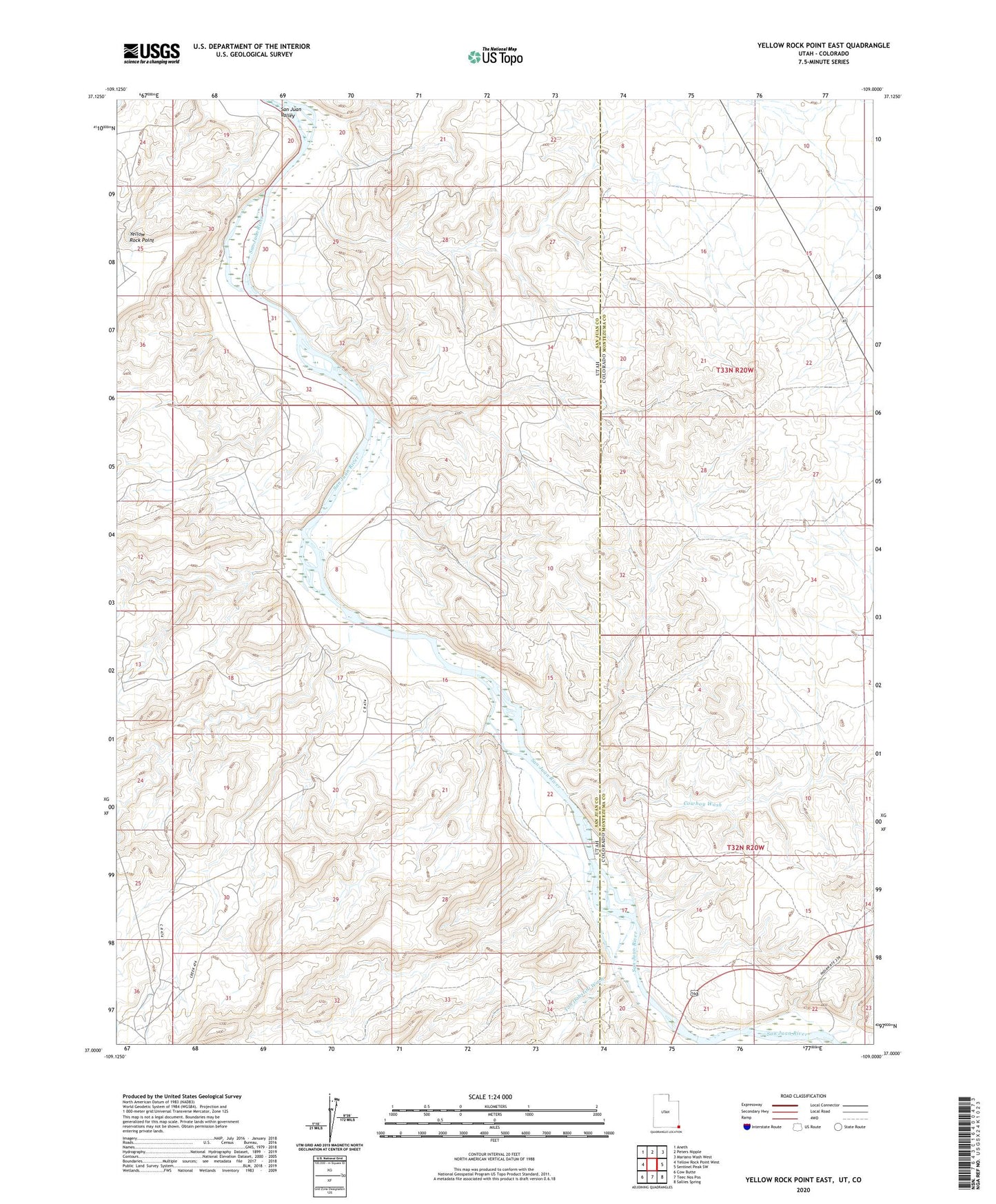
2020 topographic map quadrangle Yellow Rock Point East in the states of Colorado, Arizona. Scale: 1:24000. Based on the newly updated USGS 7.5' US Topo map series, this map is in the following counties: San Juan, Montezuma. The map contains contour data, water features, and other items you are used to seeing on USGS maps, but also has updated roads and other features. This is the next generation of topographic maps. Printed on high-quality waterproof paper with UV fade-resistant inks.
Quads adjacent to this one:
West: Yellow Rock Point West
Northwest: Aneth
North: Peters Nipple
Northeast: Mariano Wash West
East: Sentinel Peak SW
Southeast: Sallies Spring
South: Teec Nos Pos
Southwest: Cow Butte
Contains the following named places: Cowboy Wash, Toh Dahstini Wash, Tohache Wash