MyTopo
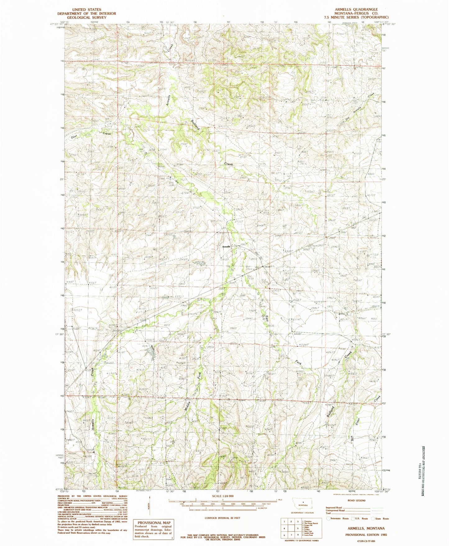
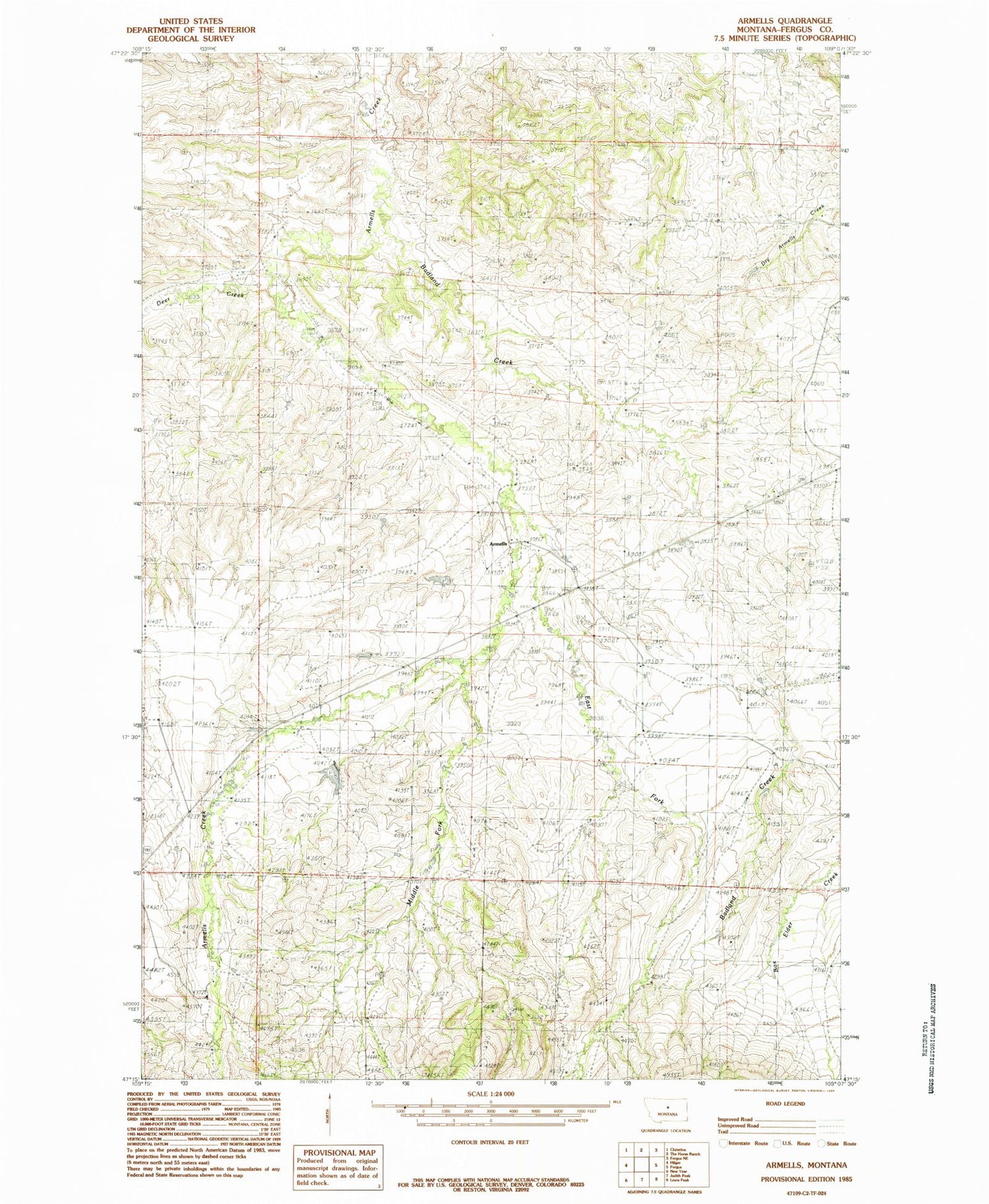
Classic USGS Armells Montana 7.5'x7.5' Topo Map
Couldn't load pickup availability
Historical USGS topographic quad map of Armells in the state of Montana. Map scale may vary for some years, but is generally around 1:24,000. Print size is approximately 24" x 27"
This quadrangle is in the following counties: Fergus.
The map contains contour lines, roads, rivers, towns, and lakes. Printed on high-quality waterproof paper with UV fade-resistant inks, and shipped rolled.
Contains the following named places: 18N19E24DA__01 Spring, 18N19E26DAD_01 Well, 18N20E16BBB_01 Well, 18N20E17BBAA01 Well, 19N20E35CA__01 Well, Armells, Armells Post Office, Armells School, Badland Creek, Big John M Dam, Deer Creek, East Fork Armells Creek, Fergus County, Knob Hill School, Middle Fork Armells Creek, Weideman School