MyTopo
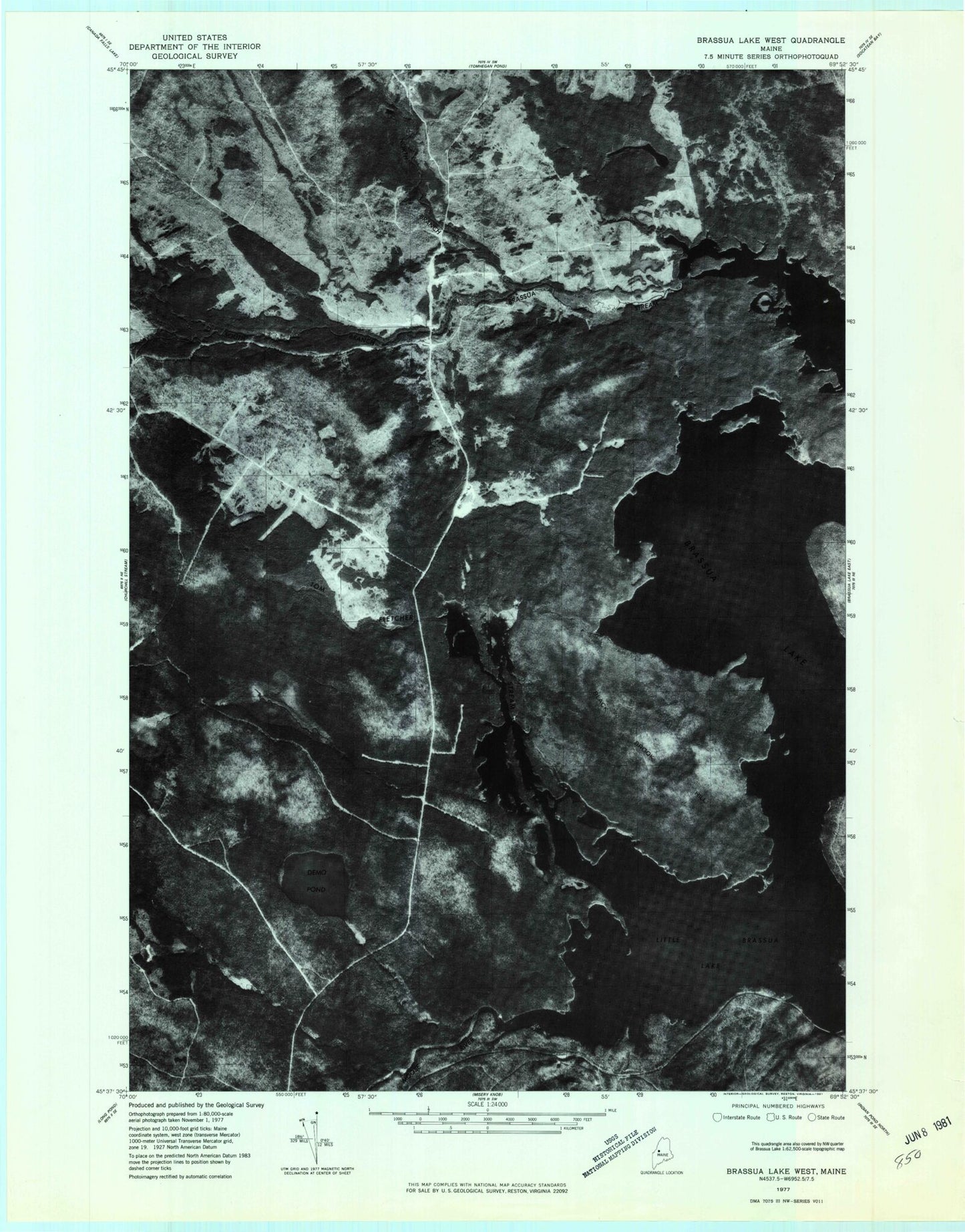
Classic USGS Brassua Lake West Maine 7.5'x7.5' Topo Map
Couldn't load pickup availability
Historical USGS topographic quad map of Brassua Lake West in the state of Maine. Map scale may vary for some years, but is generally around 1:24,000. Print size is approximately 24" x 27"
This quadrangle is in the following counties: Somerset.
The map contains contour lines, roads, rivers, towns, and lakes. Printed on high-quality waterproof paper with UV fade-resistant inks, and shipped rolled.
Contains the following named places: Black Brook, Black Brook Hill, Black Point, Brassua, Brassua Stream, Brassua Township, Demo Brook, Demo Pond, Fletcher Ponds, Johnson Brook, Leith Pond, North Branch Brassau Stream, Rockwood Strip T1 R1 NBKP, Rockwood Strip T2 R1 NBKP, Roderique Pond, South Branch Brassua Stream, Stony Brook, Tenmile Swing, Tom Fletcher Stream