MyTopo
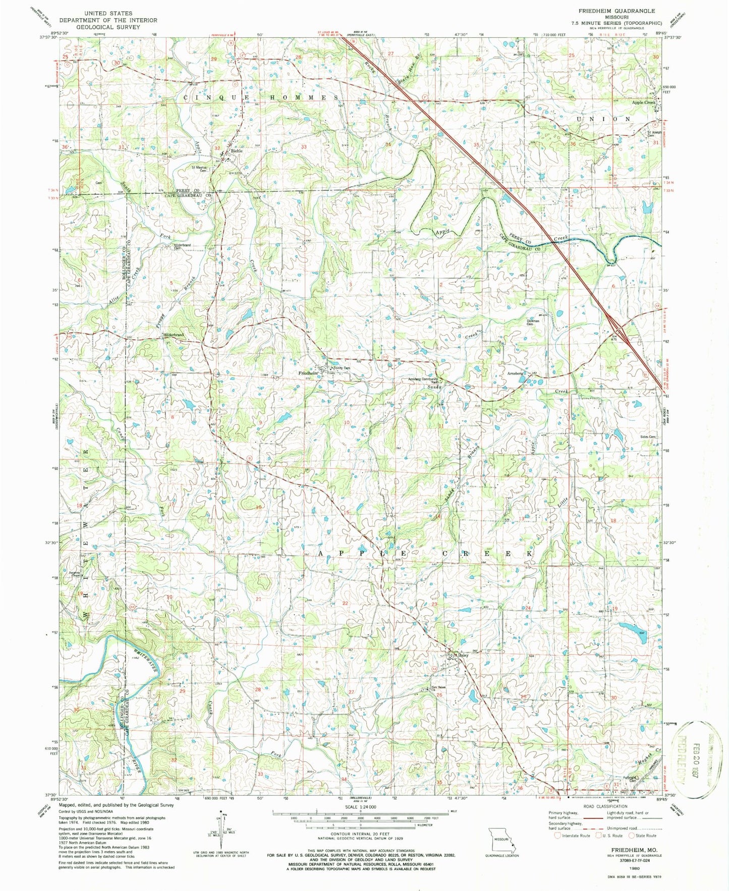
Classic USGS Friedheim Missouri 7.5'x7.5' Topo Map
Couldn't load pickup availability
Historical USGS topographic quad map of Friedheim in the state of Missouri. Map scale may vary for some years, but is generally around 1:24,000. Print size is approximately 24" x 27"
This quadrangle is in the following counties: Bollinger, Cape Girardeau, Perry.
The map contains contour lines, roads, rivers, towns, and lakes. Printed on high-quality waterproof paper with UV fade-resistant inks, and shipped rolled.
Contains the following named places: Allie Creek, Apple Creek, Arnsberg, Arnsberg Community Park, Arnsberg School, Biehle, Biehle Census Designated Place, Biehle Community Fire Protection Association, Black Haw Branch, Brick School, Conrads Mill, Critesville, Critesville School, Daisy, Daisy Post Office, Dickman Cemetery, Dissen, Friedheim, Friedheim Station, Froggy Branch, Fulbright Cemetery, Hilderbrand, Hoffman School, Kimmelton, Little Apple Creek, New Frame School, New Salem Cemetery, New Salem Church, North Cape Girardeau County Fire District North Station, Number 750 Dam, Number 821 Dam, Rocky Branch, Saint Joseph Cemetery, Saint Maurus Catholic Cemetery, Sandy Branch, Sandy Creek, Sargents Chapel, Schnurbusch Church, Schnurbusch School, Sides Cemetery, South Fork Apple Creek, Stallings Brothers Dam, Stallings Brothers Lake, Township of Apple Creek, Trinity Lutheran Church Cemetery, ZIP Codes: 63743, 63747


