MyTopo
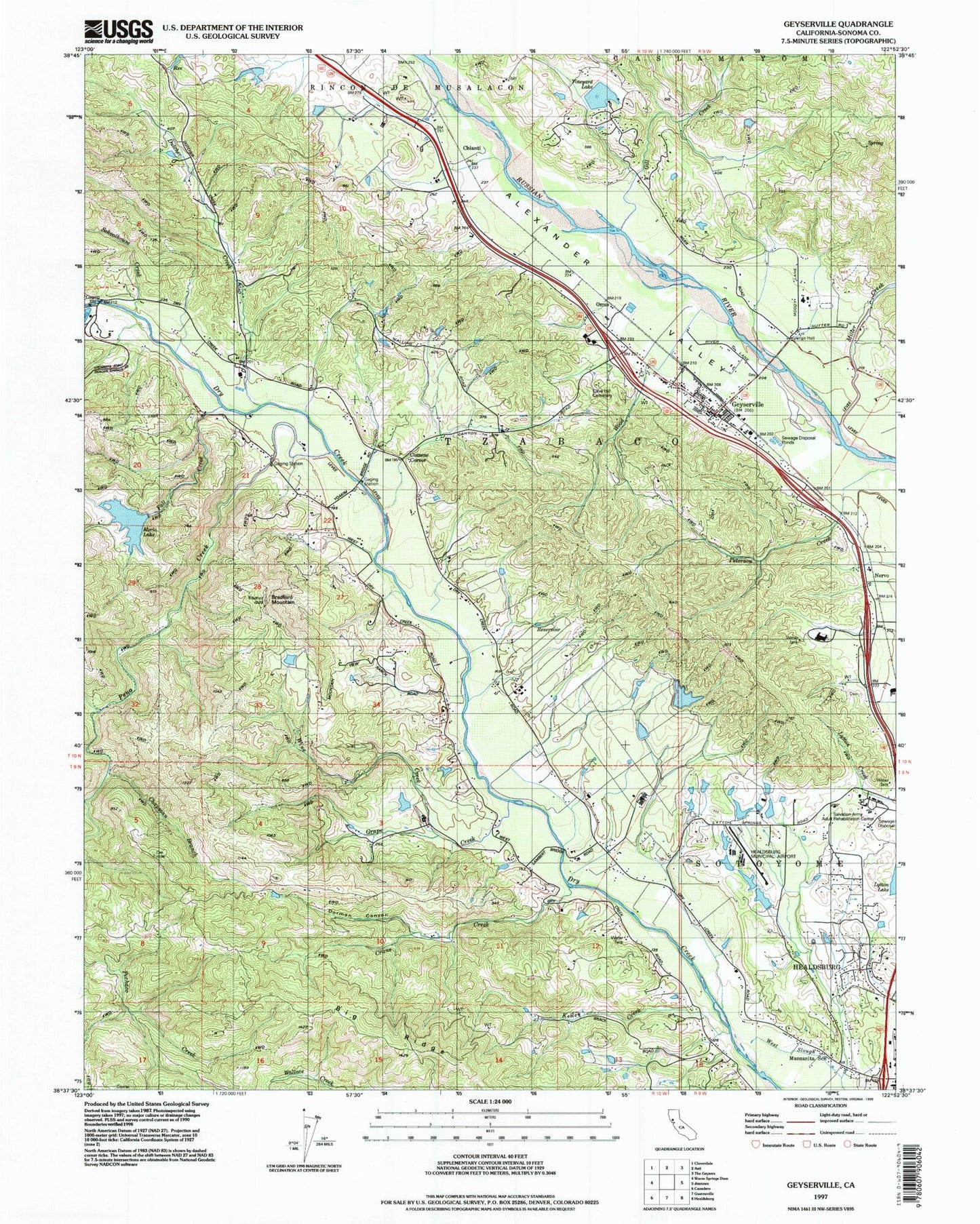
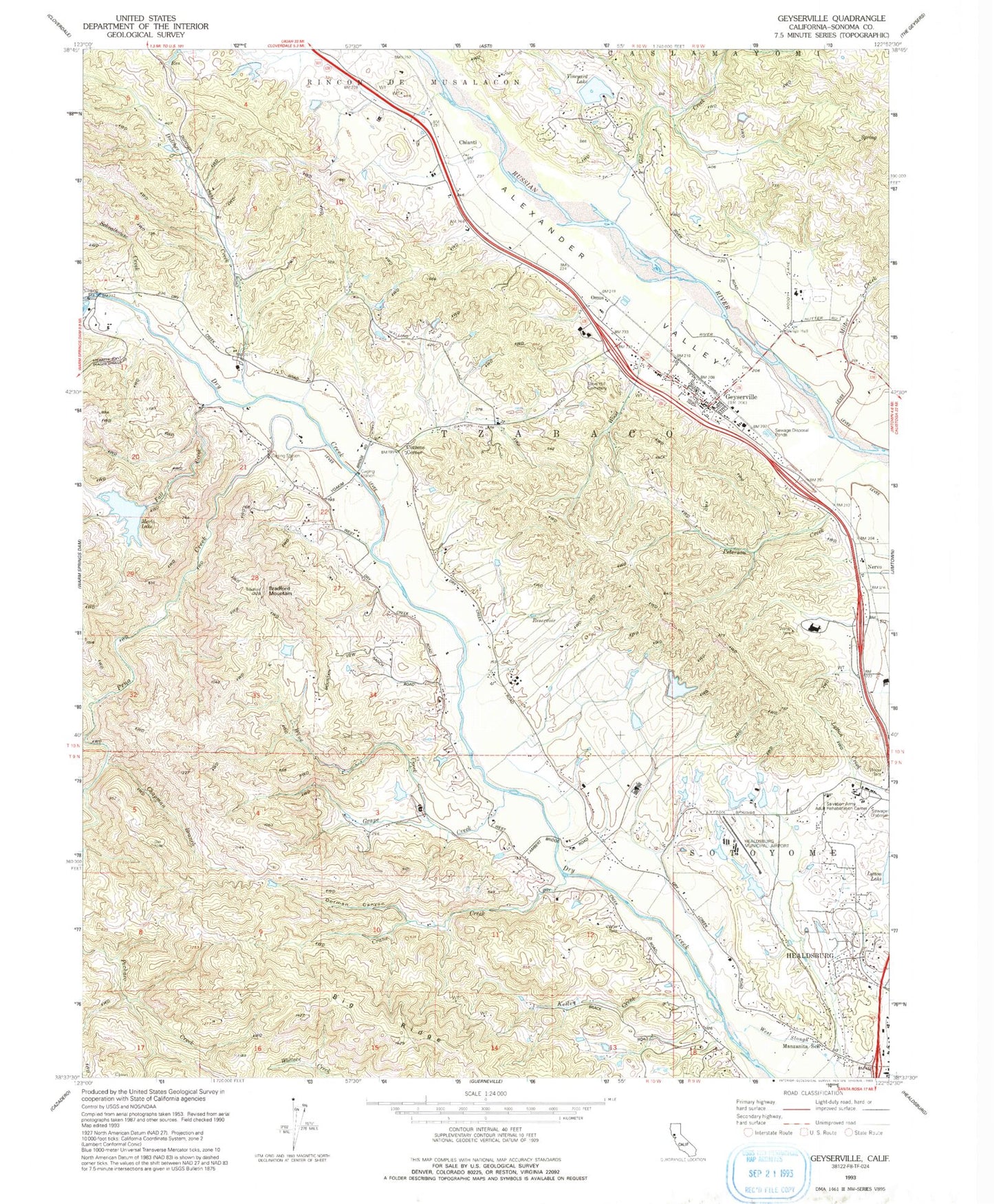
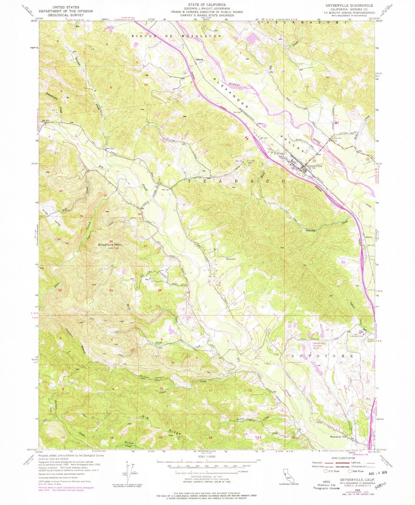
Classic USGS Geyserville California 7.5'x7.5' Topo Map
Couldn't load pickup availability
Historical USGS topographic quad map of Geyserville in the state of California. Map scale may vary for some years, but is generally around 1:24,000. Print size is approximately 24" x 27"
This quadrangle is in the following counties: Sonoma.
The map contains contour lines, roads, rivers, towns, and lakes. Printed on high-quality waterproof paper with UV fade-resistant inks, and shipped rolled.
Contains the following named places: Asti 1428 Dam, Big Ridge, Bradford Mountain, Buena Vista High School, Chapman Branch, Chateau Diana Winery, Chateau Souverain Winery, Chianti, Cloverdale-Geyserville Division, Cook Number 2 3420 Dam, Cozzens Corner, Crane Creek, Dorman Canyon, Dry Creek Vineyards, Dutcher Creek, Fall Creek, Geyser Peak Winery, Geyserville, Geyserville Census Designated Place, Geyserville Christian Church, Geyserville Community Childrens Center, Geyserville Elementary School, Geyserville Fire Protection District Station 1 Headquarters, Geyserville Fire Protection District Station 3, Geyserville High School, Geyserville New Tech Academy High School, Geyserville New Tech Academy Middle School, Geyserville Post Office, Gill Creek, Grape Creek, Grass Valley, Healdsburg Municipal Airport, Kelley Creek, Lambert Bridge Winery, Lambert Post Office, Long Ranch Family Cemetery, Lytton Industrial Home, Lytton Lake, Lytton Springs Winery, Manzanita School, Mazzocco Vineyards, Merlo Lake, Miller Creek, Nervo, Nervo Winery, Norton Number 2 2423-002 Dam, Olive Hill Cemetery, Omus, Pastori Winery, Pedroncelli Winery, Pena Creek, Peterson Creek, Robert Stemmler Winery, Salvation Army Adult Rehabilitation Center, Schoolhouse Creek, Sonoma County Sheriff's Office - Lake Sonoma Boating Safety Unit, Trentadue Winery, Tzabaco, Vineyard Lake, Vineyard Subdivision 3422 Dam, Wine Creek, Wood Creek, ZIP Code: 95441


