MyTopo
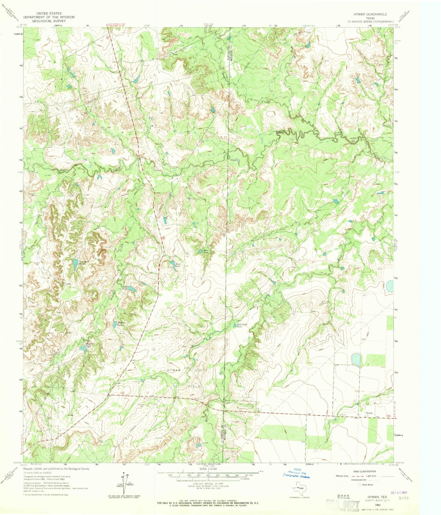
Classic USGS Hyman Texas 7.5'x7.5' Topo Map
Regular price
$16.95
Regular price
Sale price
$16.95
Unit price
per
Couldn't load pickup availability
Historical USGS topographic quad map of Hyman in the state of Texas. Map scale may vary for some years, but is generally around 1:24,000. Print size is approximately 24" x 27"
This quadrangle is in the following counties: Howard, Mitchell.
The map contains contour lines, roads, rivers, towns, and lakes. Printed on high-quality waterproof paper with UV fade-resistant inks, and shipped rolled.
Contains the following named places: Arrington Tank, Boyd Tank, Bull Creek Tank, Devils Creek, Dobson Creek, Dugout Creek, East Tank, Hayrick Tank, Hyman, Hyman Cemetery, Hyman Scott Oil Field, Magnolia Tank, Rankin Lake, Rankin Lake Dam, Scout Tank, Snyder Oil Field