MyTopo
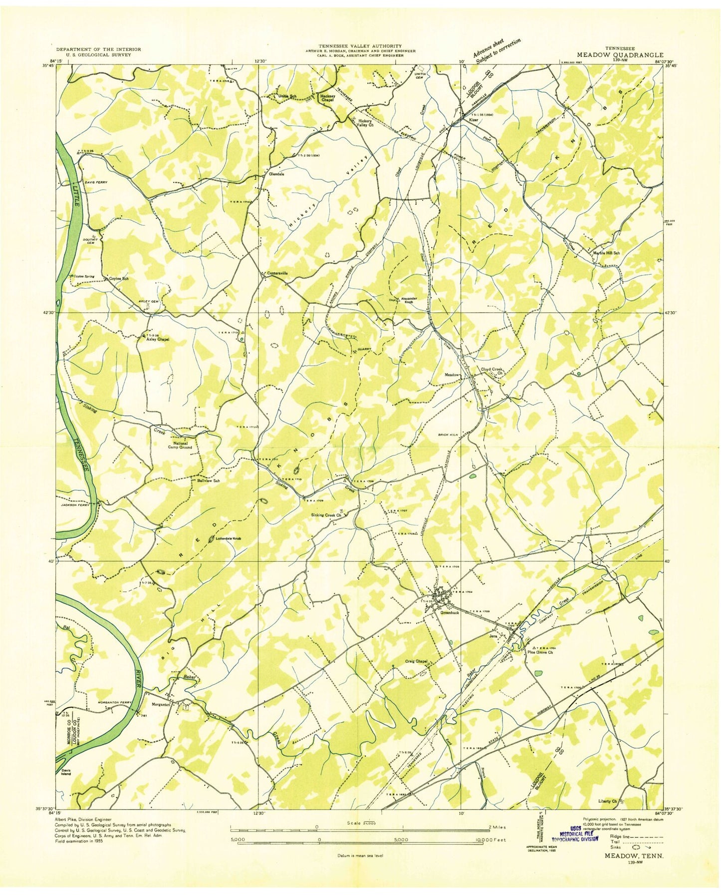
Classic USGS Meadow Tennessee 7.5'x7.5' Topo Map
Couldn't load pickup availability
Historical USGS topographic quad map of Meadow in the state of Tennessee. Map scale may vary for some years, but is generally around 1:24,000. Print size is approximately 24" x 27"
This quadrangle is in the following counties: Blount, Loudon, Monroe.
The map contains contour lines, roads, rivers, towns, and lakes. Printed on high-quality waterproof paper with UV fade-resistant inks, and shipped rolled.
Contains the following named places: Alexander Knob, Alexander Quarry, Alleghany, Andies Quarry, Axley Cemetery, Axley Chapel, Baker Creek, Bellview Church, Bellview School, Big Hill, Blankenship Cemetery, Blankenship Spring, Bream Hole Dam, Bream Hole Lake, Buzzards Roost Quarry, Byrd Branch, Carpenters Island, Carpenters Shoals, Centersville, Chapel HIll, City of Greenback, Cloyd Creek, Cloyds Creek Cemetery, Cloyds Creek Presbyterian Church, Commissioner District 3, Coyatee Ford, Coytee, Coytee Farms, Coytee School, Coytee Spring, Craig Chapel, Craig Quarry, Craigmar, Crisp Quarry, Davis Ferry, Davis Island, Davis Shoals, Douthit Cemetery, Dunlap Hollow, Dunlap Hollow Creek, Floyd Creek, Glendale, Glendale School, Greenback, Greenback Division, Greenback Fire and Rescue Station 1, Greenback Fire and Rescue Station 2, Greenback High School, Greenback Post Office, Griffitts, Gulf Spring, Hackney Chapel African Methodist Episcopal Zion Church, Hammontree Lake, Hammontree Lake Dam, Hickory Valley, Hickory Valley Church, Jackson Cemetery, Jackson Ferry, Jena, Kiser, Kiser Chapel, Liberty Cemetery, Liberty Church, Lotterdale Cove Recreation Area, Lotterdale Knob, Lower Morganton Shoals, Marble Hill, Marble Hill School, Marthens Quarry, McDonald Cemetery, McKelvey Cemetery, McMullen Quarry, McMullens, Meadow, Morganton, Morganton Baptist Church, Morganton Cemetery, Morganton Cumberland Presbyterian Church, Morganton Ferry, Morganton Recreation Area, National Camp Ground, Negro Hollow, Niles Ferry Church, Owl Hollow, Palin, Pine Grove Church, Pope's Plant Farm, Red Knobs, Rollen Spring, Rollins Cemetery, Sinking Creek, Sinking Creek Church, Smith Cemetery, Tipton Cemetery, Unitia, Unitia Cemetery, Unitia Methodist Church, Unitia Presbyterian Church, Unitia School, Upper Morganton Shoals, Village Airport, ZIP Code: 37742


