MyTopo
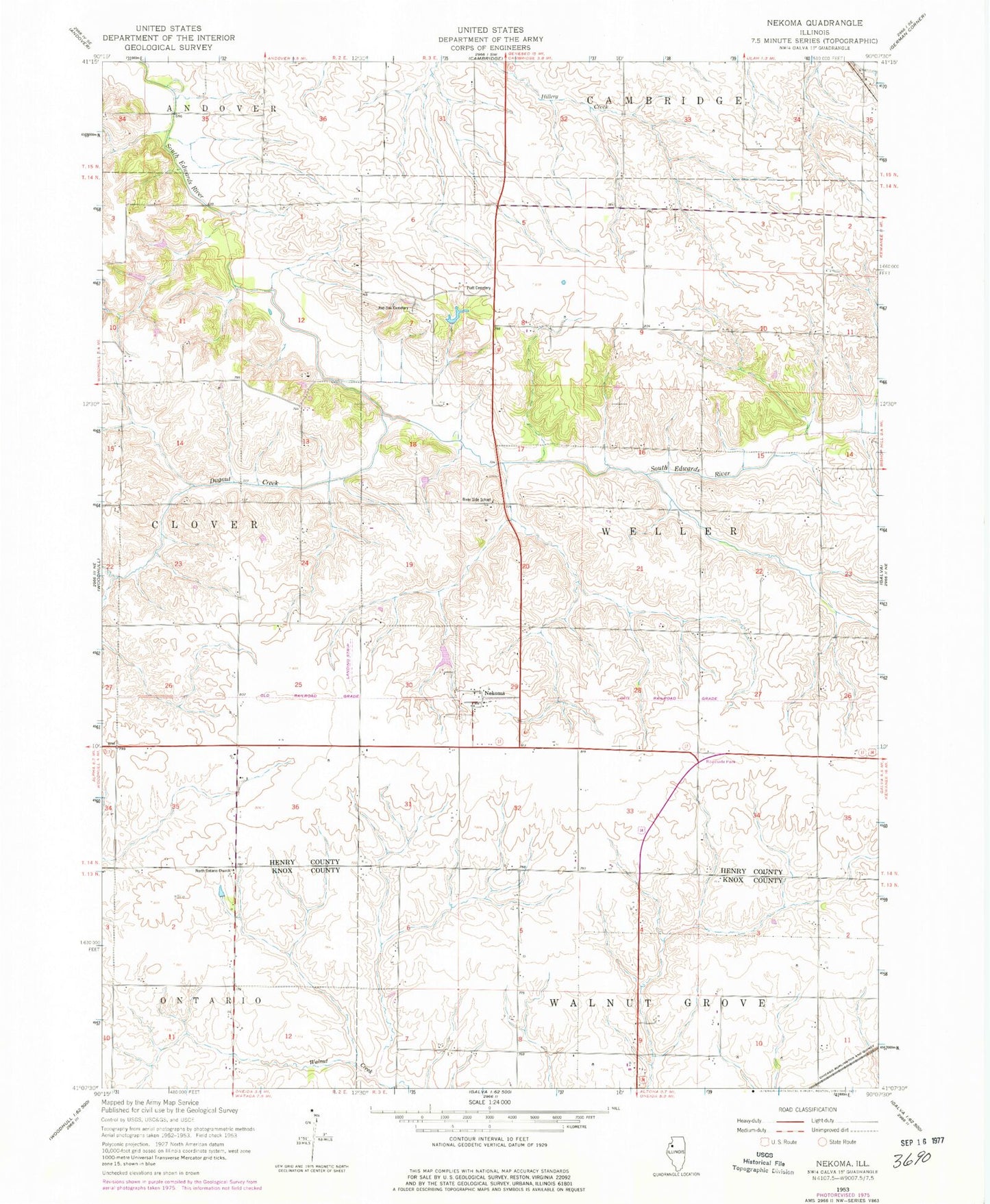
Classic USGS Nekoma Illinois 7.5'x7.5' Topo Map
Couldn't load pickup availability
Historical USGS topographic quad map of Nekoma in the state of Illinois. Map scale may vary for some years, but is generally around 1:24,000. Print size is approximately 24" x 27"
This quadrangle is in the following counties: Henry, Knox.
The map contains contour lines, roads, rivers, towns, and lakes. Printed on high-quality waterproof paper with UV fade-resistant inks, and shipped rolled.
Contains the following named places: Dugout Creek, Kelly School, Maple Hill School, Maple Ridge School, Nekoma, Nekoma Census Designated Place, New Pine School, North Ontario Church, Nystrom Lake, Nystrom Lake Dam, Piatt Cemetery, Pierce School, Red Oak Cemetery, Red Oak School, Reynolds School, River Side School, Simpson School, Snow Hill School, Swamp College School, Thompson Pond, Thompson Pond Dam, Township of Weller