MyTopo
Classic USGS Plevna Kansas 7.5'x7.5' Topo Map
Couldn't load pickup availability
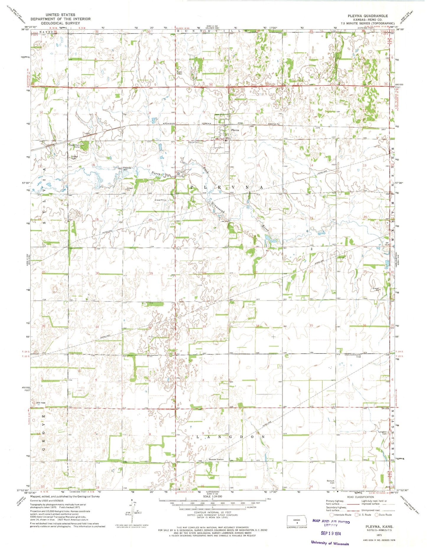
Historical USGS topographic quad map of Plevna in the state of Kansas. Map scale may vary for some years, but is generally around 1:24,000. Print size is approximately 24" x 27"
This quadrangle is in the following counties: Reno.
The map contains contour lines, roads, rivers, towns, and lakes. Printed on high-quality waterproof paper with UV fade-resistant inks, and shipped rolled.
Contains the following named places: Bainum Cemetery, City of Plevna, Clark Community Club, Hazen Cemetery, Hazen Park Camp, KHMY - FM (Plevna), Old Langdon Cemetery, Plevna, Plevna Cemetery, Plevna City Hall, Plevna Community Church, Plevna Wastewater Treatment Facility, Reno County Fire District 4 Station 3, Township of Plevna