MyTopo
Classic USGS Santa Elena SE Texas 7.5'x7.5' Topo Map
Regular price
$16.95
Regular price
Sale price
$16.95
Unit price
per
Couldn't load pickup availability
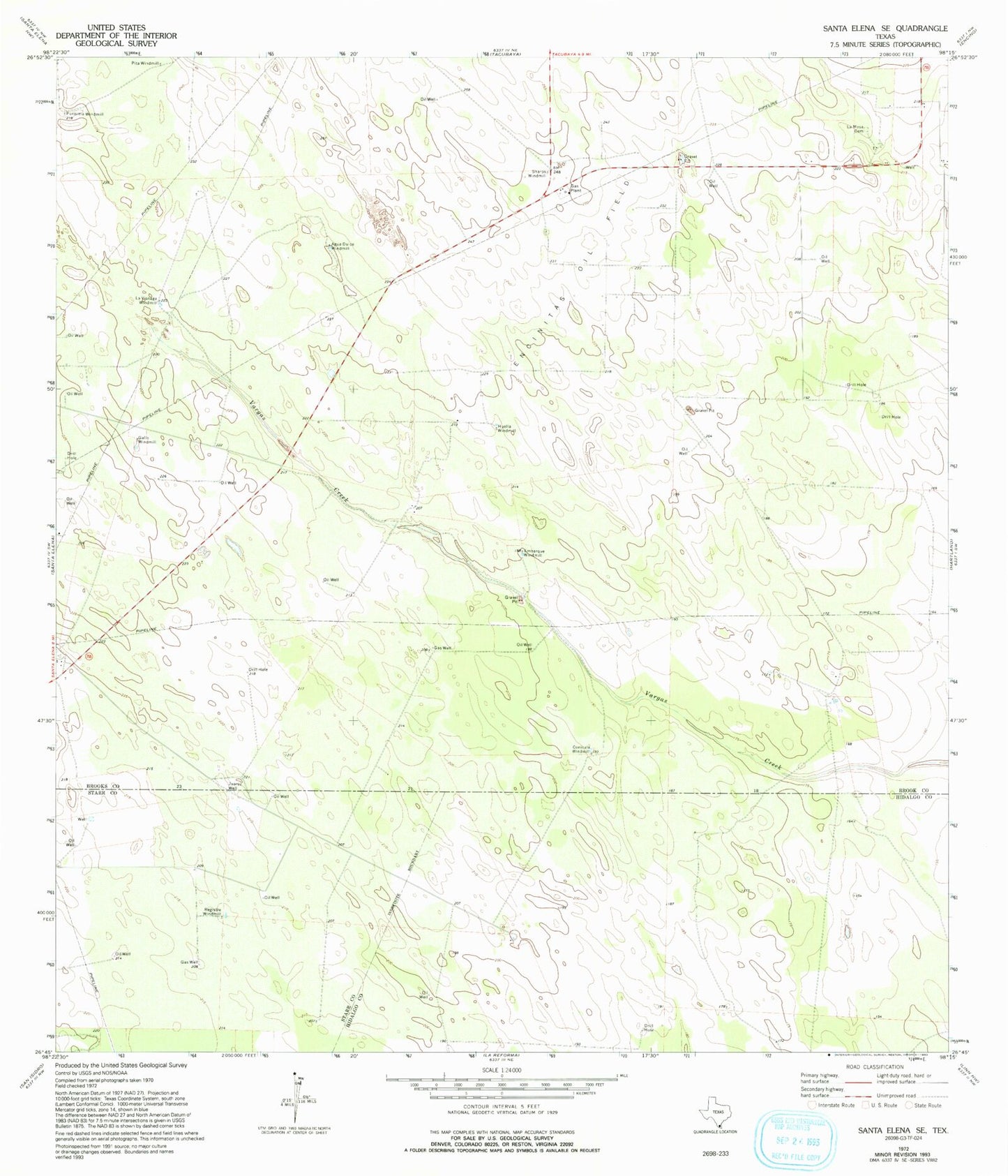
Historical USGS topographic quad map of Santa Elena SE in the state of Texas. Map scale may vary for some years, but is generally around 1:24,000. Print size is approximately 24" x 27"
This quadrangle is in the following counties: Brooks, Hidalgo, Starr.
The map contains contour lines, roads, rivers, towns, and lakes. Printed on high-quality waterproof paper with UV fade-resistant inks, and shipped rolled.
Contains the following named places: Agua Dulce Windmill, Conicula Windmill, Embarque Windmill, Encinitas Oil Field, Gallo Windmill, Huella Windmill, Juarez Well, La Mesa Cemetery, La Visnaga Windmill, Registre Windmill, Sharps Windmill