
MyTopo
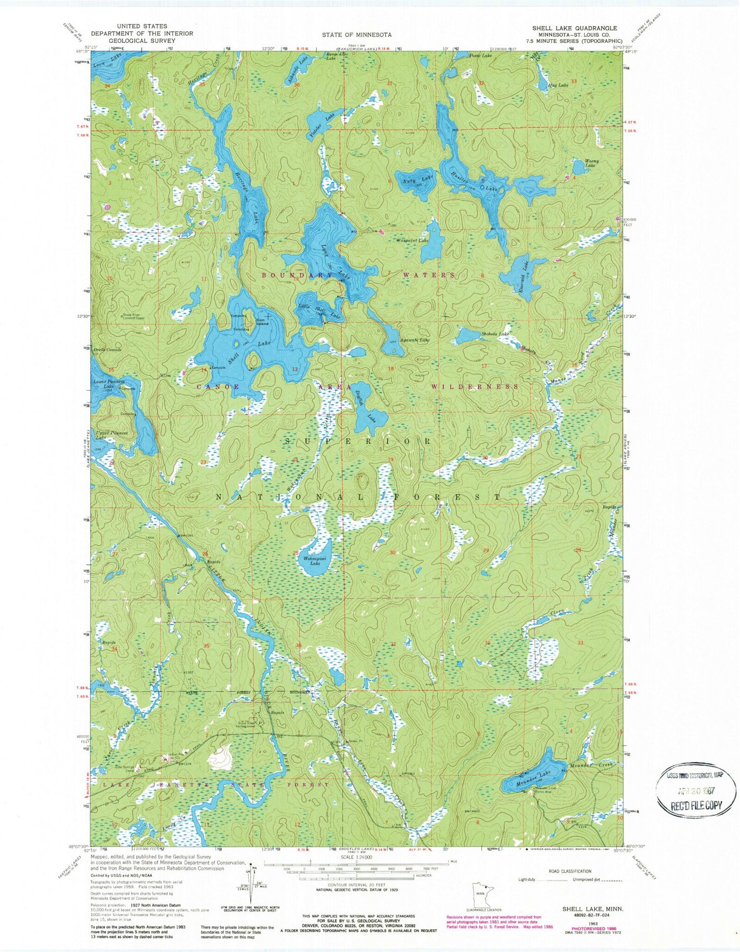
Classic USGS Shell Lake Minnesota 7.5'x7.5' Topo Map
Couldn't load pickup availability
Historical USGS topographic quad map of Shell Lake in the state of Minnesota. Typical map scale is 1:24,000, but may vary for certain years, if available. Print size: 24" x 27"
This quadrangle is in the following counties: St. Louis.
The map contains contour lines, roads, rivers, towns, and lakes. Printed on high-quality waterproof paper with UV fade-resistant inks, and shipped rolled.
Contains the following named places: Achundo Lake, Agawato Lake, Carol Creek, Clora Creek, Cold Springs Camp, Con Island, Dogfish Lake, Emerald Lake, Hag Lake, Heritage Lake, Hustler Lake, Jeanette Creek, Limpy Creek, Little Shell Lake, Lower Pauness Lake, Lynx Lake, Meander Creek, Meander Lake, Meander Lake Picnic Area, Range Line Creek, Ruby Lake, Shell Lake, Shohola Creek, Shohola Lake, Sioux River Campground, Sioux River Lookout Tower, Warpaint Lake, Weeny Lake, Woksapiwi Creek, Woksapiwi Lake, Yodeler Lake


