MyTopo
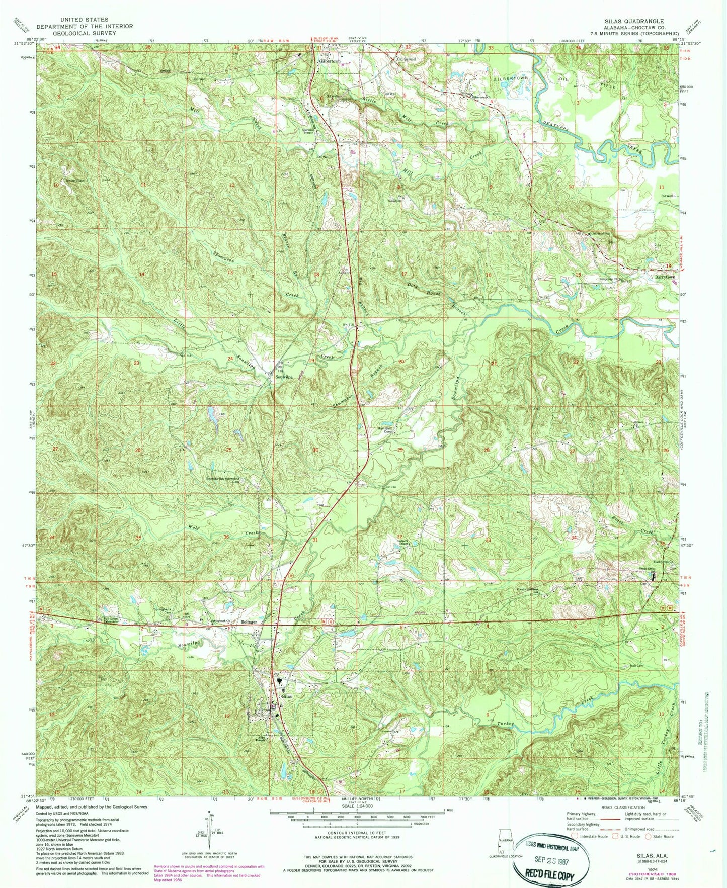
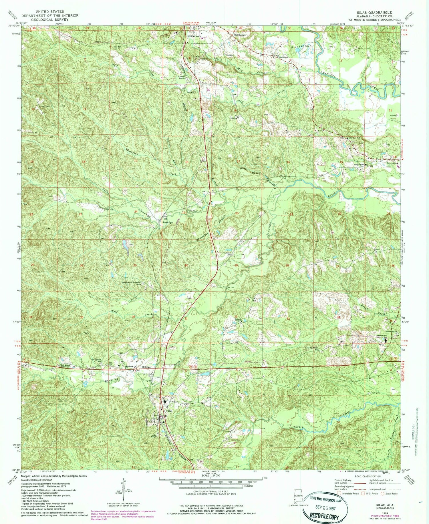
Classic USGS Silas Alabama 7.5'x7.5' Topo Map
Couldn't load pickup availability
Historical USGS topographic quad map of Silas in the state of Alabama. Map scale may vary for some years, but is generally around 1:24,000. Print size is approximately 24" x 27"
This quadrangle is in the following counties: Choctaw.
The map contains contour lines, roads, rivers, towns, and lakes. Printed on high-quality waterproof paper with UV fade-resistant inks, and shipped rolled.
Contains the following named places: Advent Cemetery, Allen Temple African Methodist Episcopal Zion Church, B F Smith Memorial Cemetery, Barrytown, Barrytown Cemetery, Barrytown United Methodist Church, Beaver Run, Big Branch, Black Creek Baptist Church, Bolinger, Branch Church of God, C and J Holiness Church, Church of God, Coleman Branch, Coopers Cemetery, Coopers Chapel, Doty House Branch, Full Gospel Tabernacle, Gilbertown Church of God, Gilbertown Church of God Cemetery, Gilbertown Oil Field, Gilbertown Volunteer Fire Department, Glorious Temple Church of God, Golden Horn Branch, Goodwill Assembly of God Church, Hall Cemetery, Hardshell Church, Harrison Cemetery, Hickory Grove Baptist Church, Little Mill Creek, Little Mill Creek Oil Field, Little Souwilpa Creek, Little Turkey Creek, Mill Branch, Mill Creek, Mill Creek Oil Field, Nix Bridge, Old Samuel, Paragon School, Pine Branch, Rocky Branch, Shady Grove Baptist Church, Shady Grove Cemetery, Shady Grove High School, Shumaker Branch, Silas, Silas Division, Silas Elementary School, Silas Police Department, Silas Post Office, Silas Volunteer Fire Department, Southern Choctaw High School, Southwest Barrytown Oil Field, Souwilpa, Spring Bank Baptist Church, Spring Bank Cemetery, Taylor Mill, Thompson Creek, Town of Gilbertown, Town of Silas, Vanilla School, West Barrytown Oil Field, Wolf Creek, ZIP Code: 36919