MyTopo
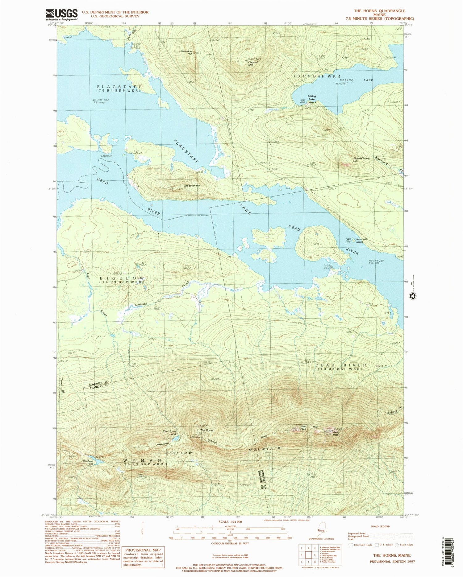
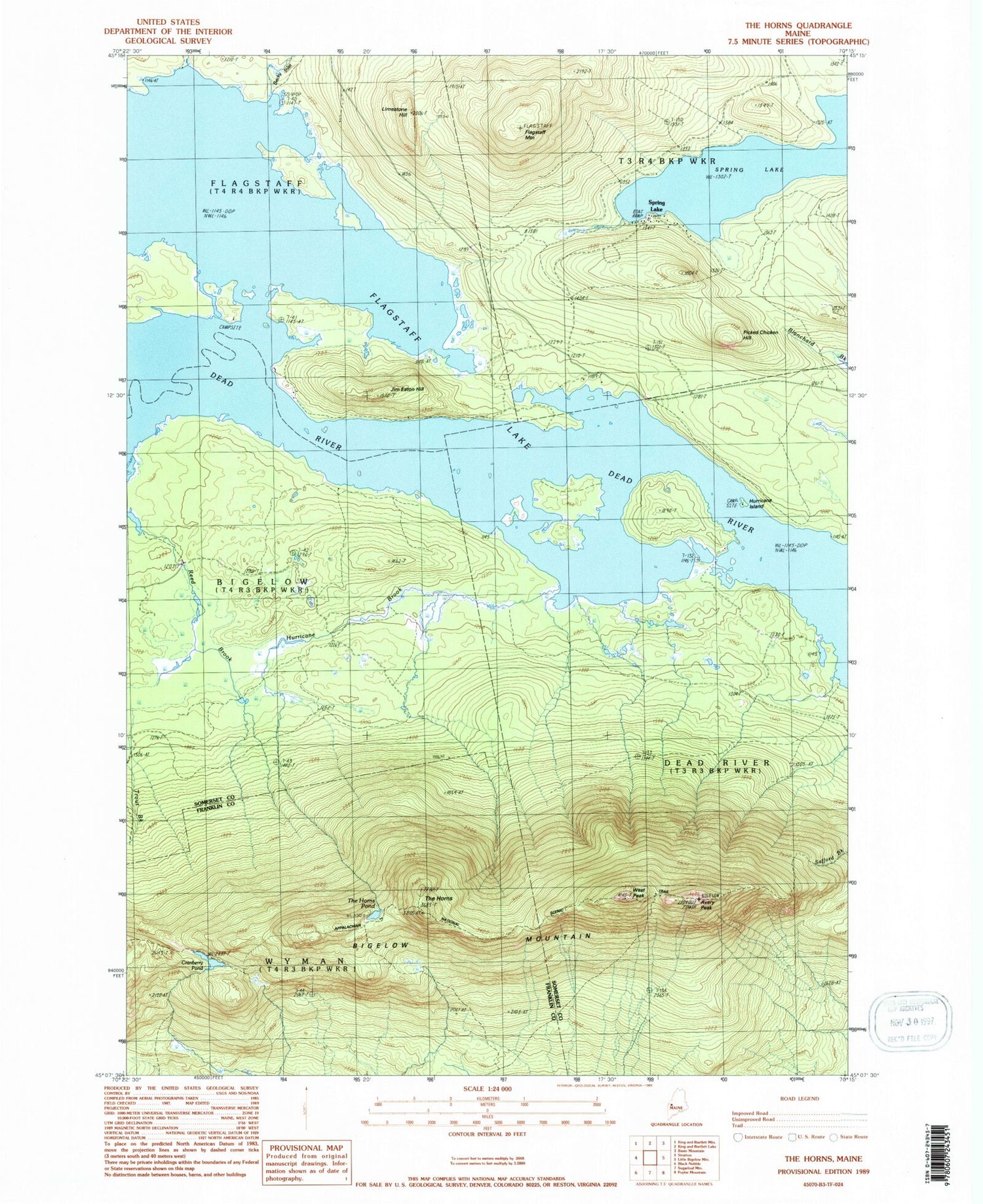
Classic USGS The Horns Maine 7.5'x7.5' Topo Map
Couldn't load pickup availability
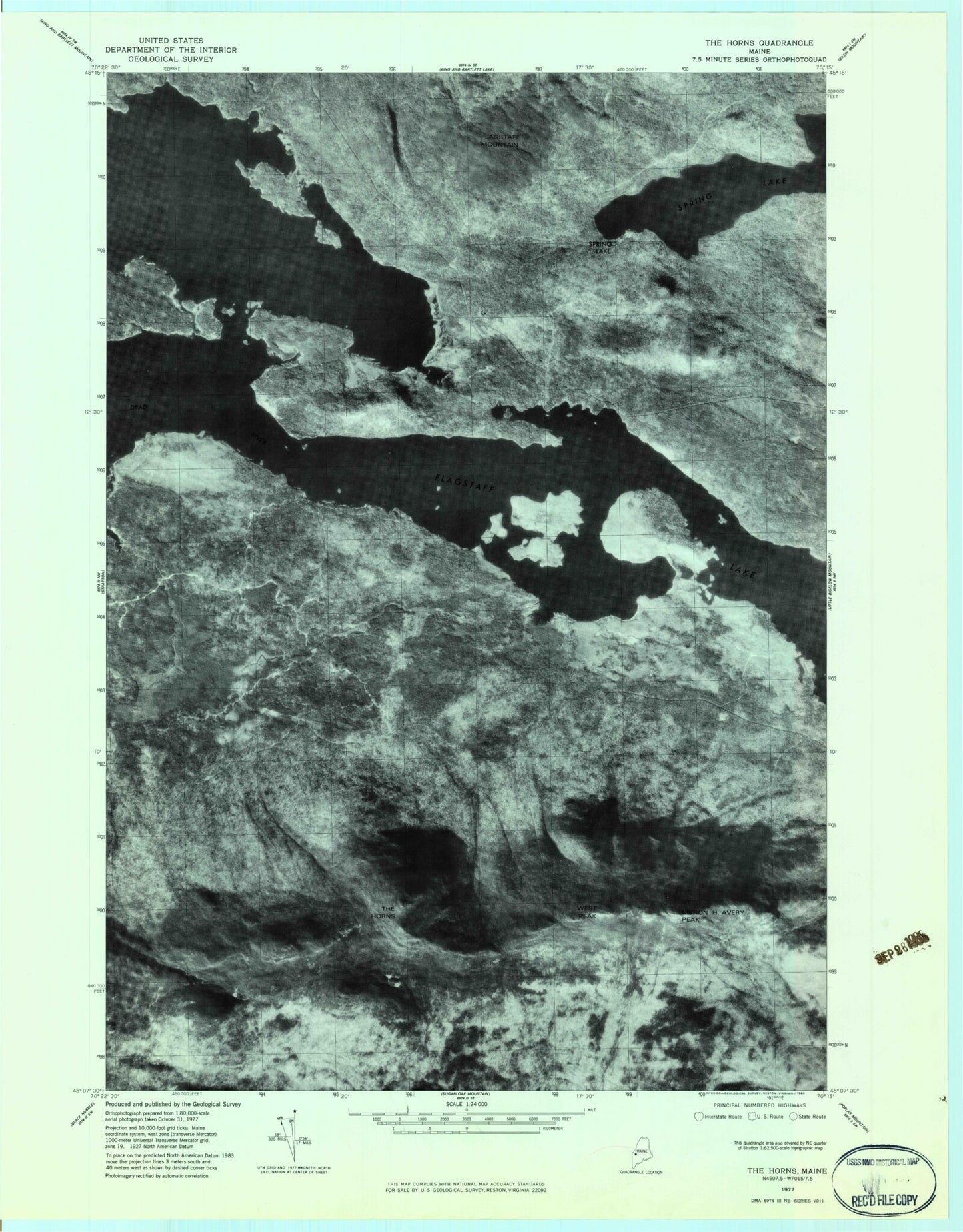
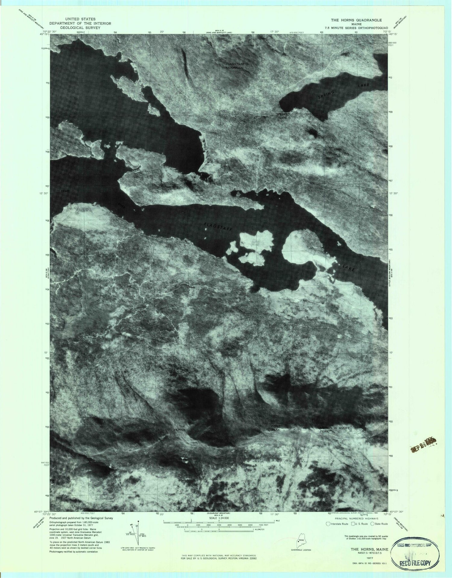
Historical USGS topographic quad map of The Horns in the state of Maine. Typical map scale is 1:24,000, but may vary for certain years, if available. Print size: 24" x 27"
This quadrangle is in the following counties: Franklin, Somerset.
The map contains contour lines, roads, rivers, towns, and lakes. Printed on high-quality waterproof paper with UV fade-resistant inks, and shipped rolled.
Contains the following named places: Becky Inlet, Mount Bigelow, Cranberry Pond, Fire Warden Trail, Flagstaff Lake, Flagstaff Mountain, Hurricane Brook, Limestone Hill, Avery Peak, Picked Chicken Hill, Spring Lake, Spring Lake, The Horns, The Horns Pond, Usher Inlet, West Peak, Jim Eaton Hill, Hurricane Island, Bigelow Lookout Tower, Parsons Brook, Unorganized Territory of Wyman, Bigelow Township, Becky Inlet, Mount Bigelow, Cranberry Pond, Fire Warden Trail, Flagstaff Lake, Flagstaff Mountain, Hurricane Brook, Limestone Hill, Avery Peak, Picked Chicken Hill, Spring Lake, Spring Lake, The Horns, The Horns Pond, Usher Inlet, West Peak, Jim Eaton Hill, Hurricane Island, Bigelow Lookout Tower, Parsons Brook, Unorganized Territory of Wyman, Bigelow Township