MyTopo
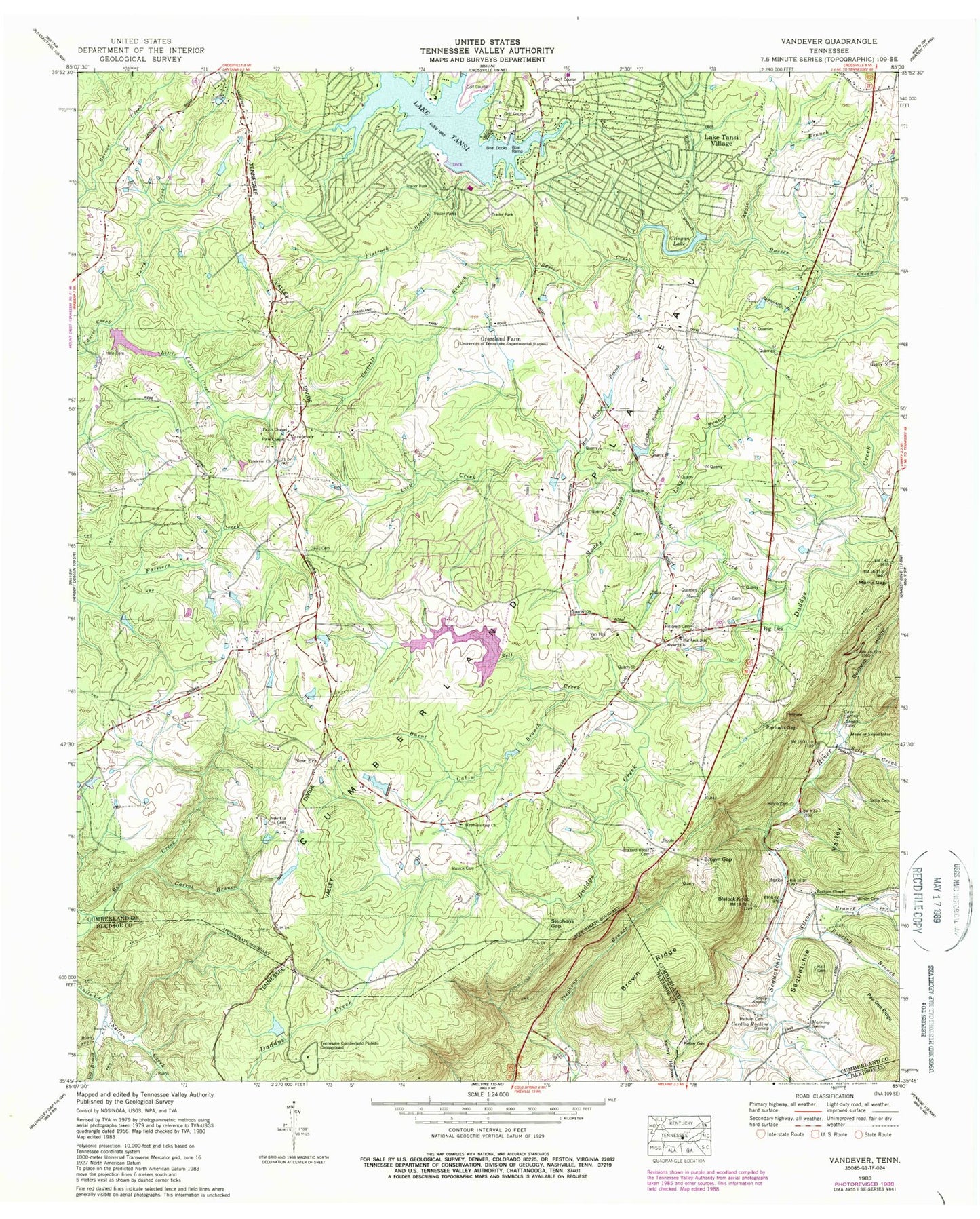
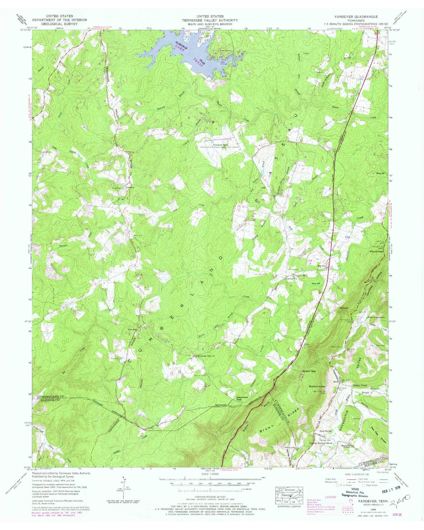
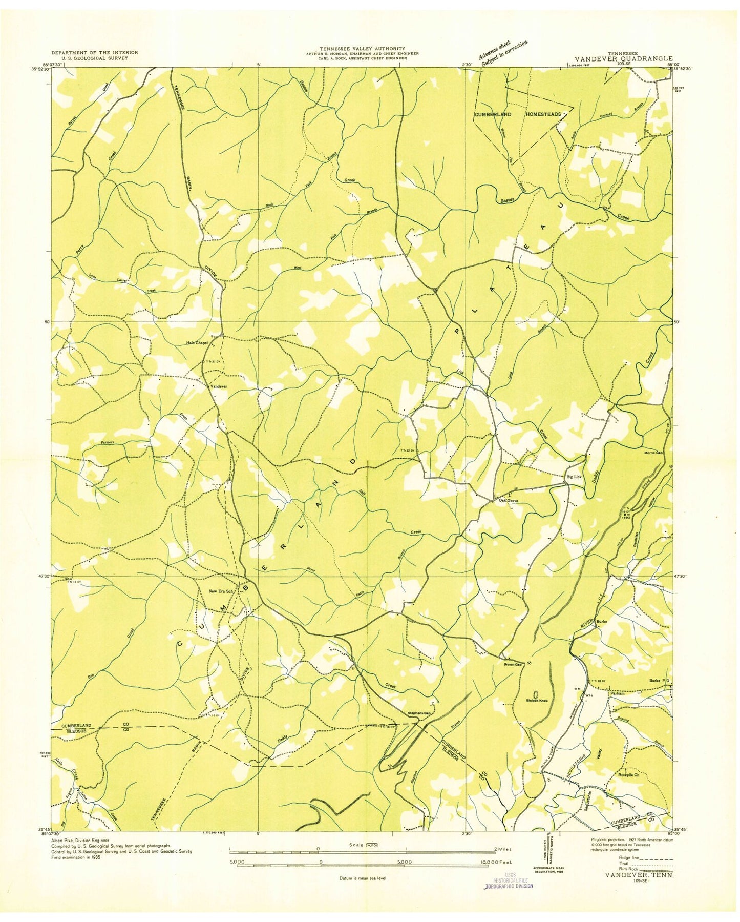
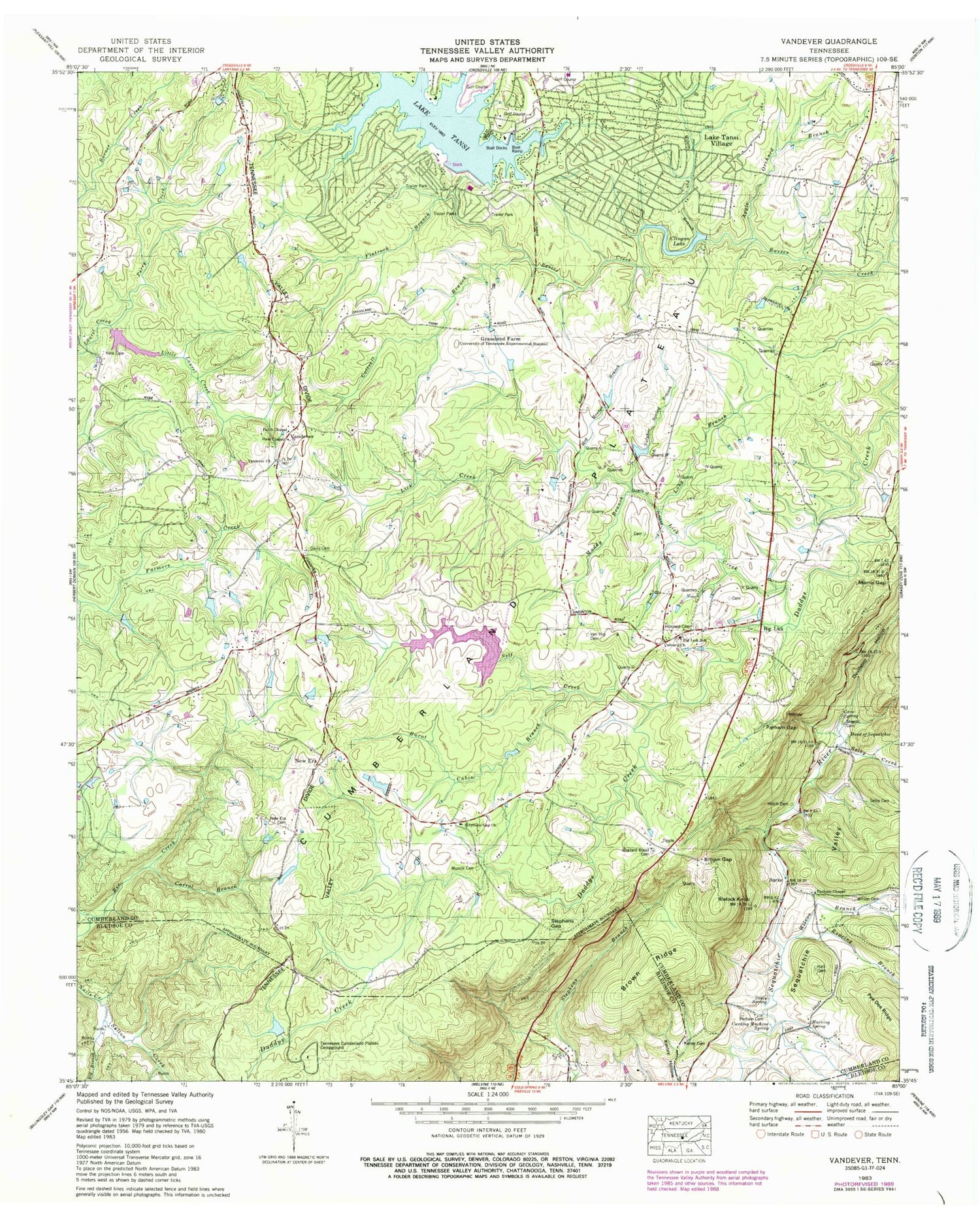
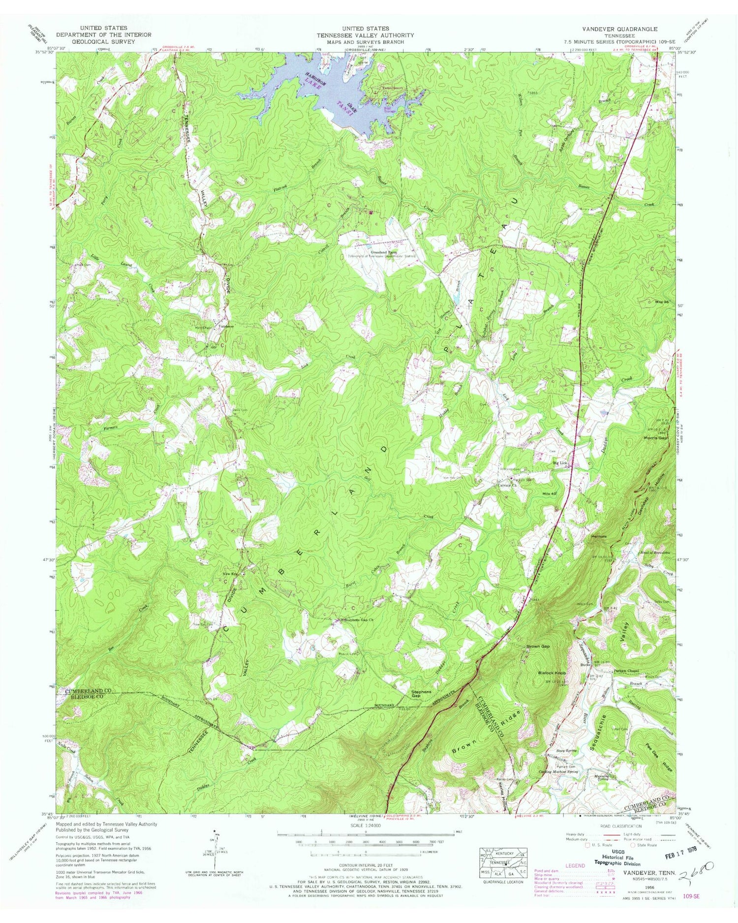
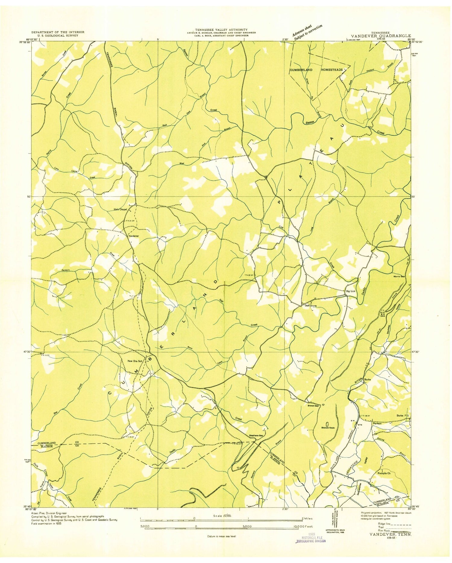
Classic USGS Vandever Tennessee 7.5'x7.5' Topo Map
Couldn't load pickup availability
Historical USGS topographic quad map of Vandever in the state of Tennessee. Map scale may vary for some years, but is generally around 1:24,000. Print size is approximately 24" x 27"
This quadrangle is in the following counties: Bledsoe, Cumberland.
The map contains contour lines, roads, rivers, towns, and lakes. Printed on high-quality waterproof paper with UV fade-resistant inks, and shipped rolled.
Contains the following named places: Apple Orchard Branch, Bennett Cemetery, Big Branch, Big Lick, Big Lick Cemetery, Big Lick School, Blalock Knob, Brown Gap, Brown Ridge, Burke, Burnt Cabin Branch, Calvary Church, Carding Machine Spring, Commissioner District 5, Cottrell Branch, Cumberland County Fire Department Station 5, Cumberland County Fire Department Station 5 - 2, Davis Cemetery, Devilstep Hollow, Flatrock Branch, Grassland Farm, Gravelly Spur, Hale Cemetery, Hale Chapel, Hale Chapel Cemetery, Hales Chapel School, Hall Cemetery, Head of Sequatchie, Hellhole, Hillcrest Cemetery, Hilltop Acres, Hinch Cemetery, Hinch Mill, Hog Heaven Branch, Houston Cemetery, Kerley Cemetery, Lake Tansi, Lake Tansi Census Designated Place, Lantana Division, Lick Creek, Long Branch, Manning Spring, Melvin Smith Lake, Melvin Smith Lake Dam, Morris Gap, Muddy Branch, Music, Musick Cemetery, New Era, New Era Cemetery, New Era School, Nicholson Heights, Oak Grove, Oak Grove Church, Ormes Cemetery, Parham, Parham Cemetery, Parham Chapel, Parham Gap, Pee Dee Ridge, Perry Cemetery, Perry Creek, Pleasant View Estates, Pugh Cemetery, Roaring Branch, Rockpile Church, Salton Creek, Selby Cemetery, Selby Creek, Sherrill Cemetery, Stacy Spring, Stephens Gap, Stephens Gap Church, Sulphur Spring Branch, Tansi Lake Dam, Tansi Resort, Van Hoy Cemetery, Vandever, Vandever Baptist Church, Webb Chapel School, Webbs Chapel, Wilson Branch, Wilson Cemetery, Wilson Pen Branch, Wyatt
