MyTopo
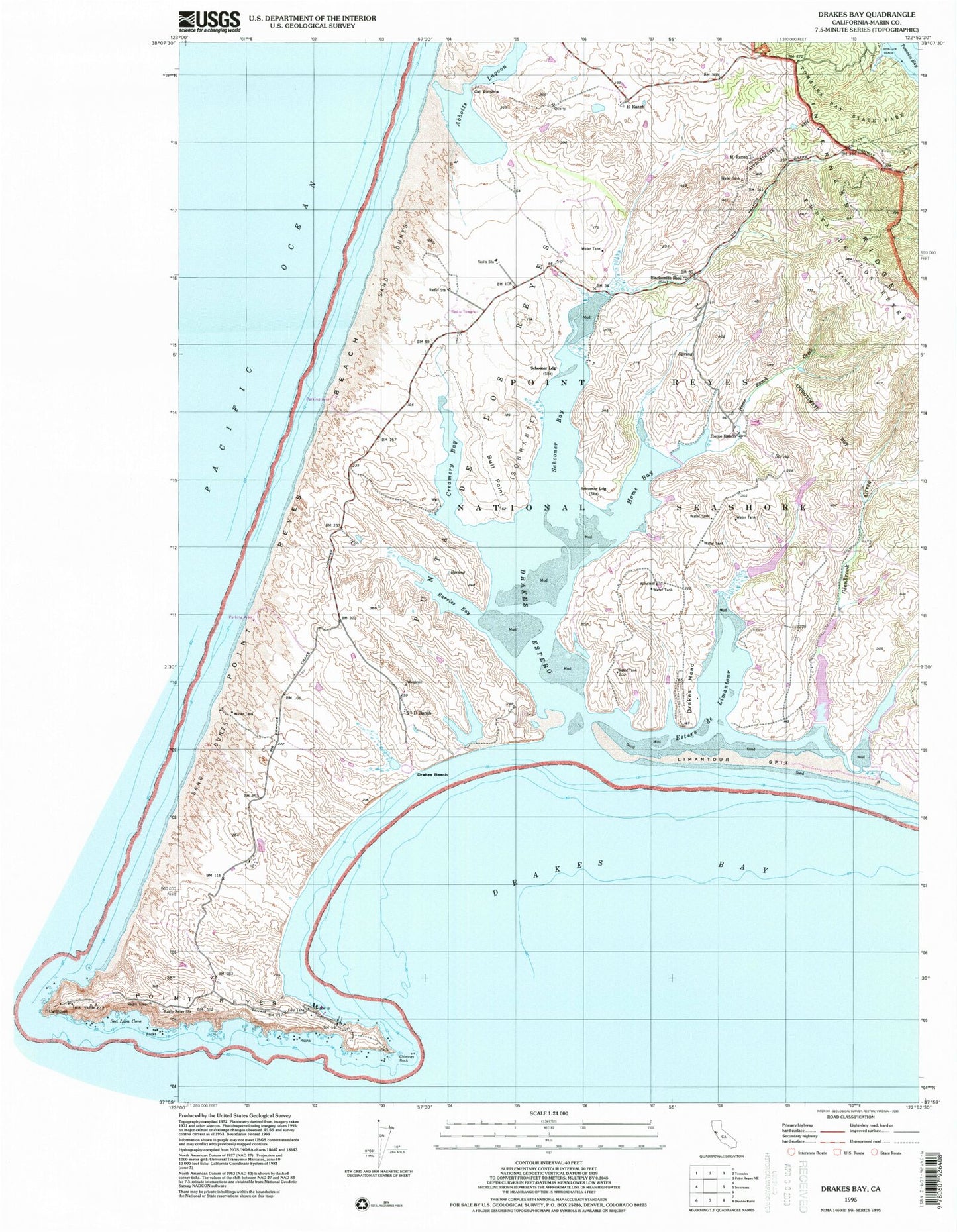
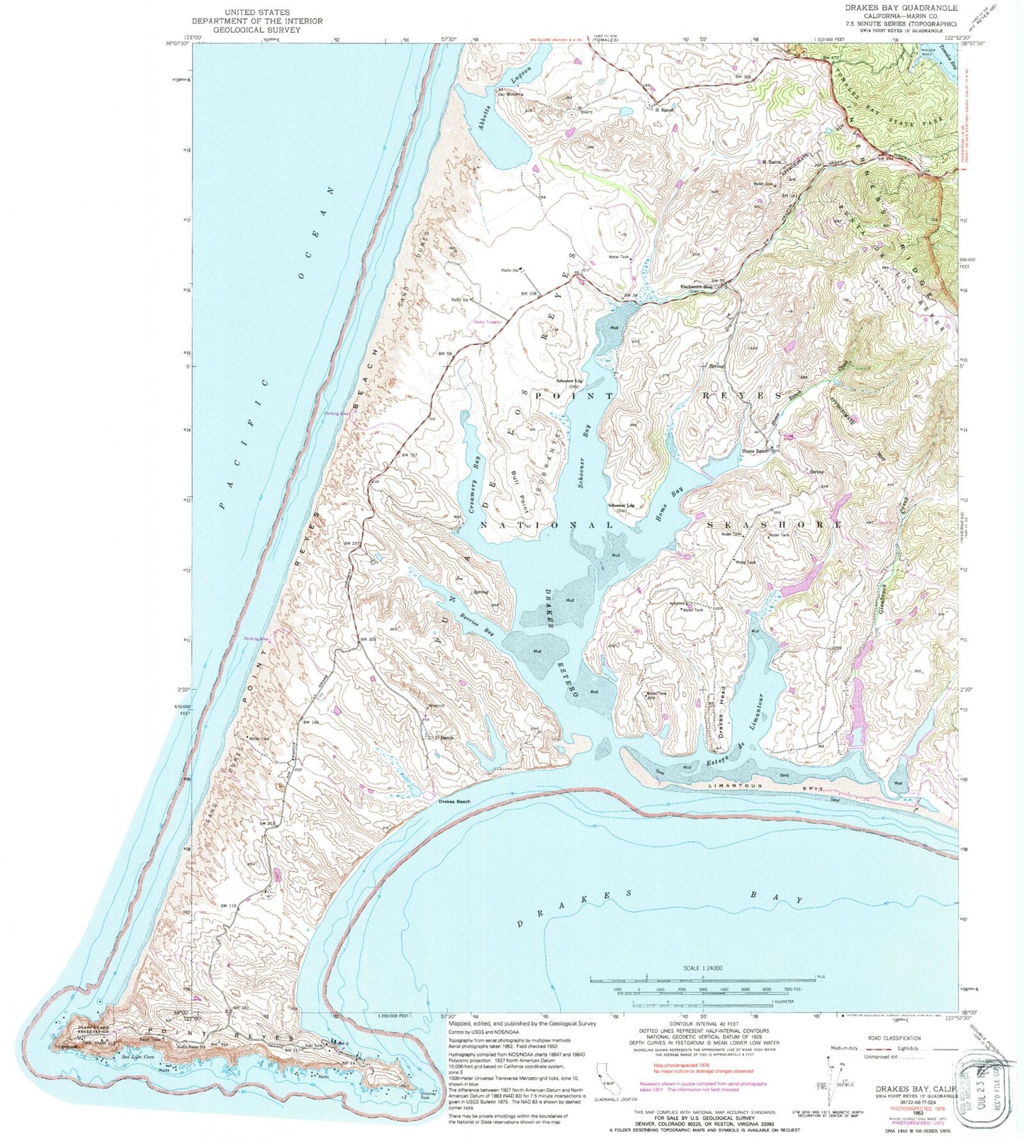
Classic USGS Drakes Bay California 7.5'x7.5' Topo Map
Couldn't load pickup availability
Historical USGS topographic quad map of Drakes Bay in the state of California. Map scale may vary for some years, but is generally around 1:24,000. Print size is approximately 24" x 27"
This quadrangle is in the following counties: Marin.
The map contains contour lines, roads, rivers, towns, and lakes. Printed on high-quality waterproof paper with UV fade-resistant inks, and shipped rolled.
Contains the following named places: Abbotts Lagoon, Barries Bay, Blacksmith Shop, Bucklin Trail, Bull Point, Call Building, Creamery Bay, D Ranch, Drakes Bay, Drakes Beach, Drakes Beach Trail, Drakes Estero, Drakes Head, Drakes Head Trail, Drakes Monument, Estero Trail, Glenbrook Creek, H Ranch, Home Bay, Home Ranch, Home Ranch Creek, Home Ranch Dam, Johnstone Trail, Kenneth C Patrick Visitor Center, Limantour Beach, Limantour Spit, Limatour Estero Reserve, Lower Estero Dam, Lower Muddy Hollow Dam, Lower Murphy Dam, Lower Turney Dam, M Ranch, Muddy Hollow Trail, North Beach, Point Reyes, Point Reyes Beach, Point Reyes National Seashore, Punta De Los Reyes, Rogers Ranch, Schooner Bay, Schooner Landing, Shalow Beach, Sir Francis Drake Historical Monument, South Beach, Sunset Beach Trail, Sunshine Beach, Tomales Bay State Park, Upper Estero Dam, Upper Murphy Dam, Upper Turney Dam, White Gate Trail, ZIP Code: 94937