

Classic USGS Quads
(7.5' series)
These pre-2009, 1:24,000 scale, 7.5 minute maps are the standard for topographic mapping in the US and are widely considered the most detailed maps available. Nearly all navigation apps, software, and trail maps series, including the new US Topo Maps, are derived from these maps. Many outdoors people still prefer the classic quads due to the unmatched level of detail, accuracy, and symbology honed over a 100-year period by dedicated cartographers and surveyors employed by the US Government.
In 2009, the USGS began producing a digitized version of the maps, called the US Topo, in order to keep up with new road systems and development, but the "Classic" quads have a level of detail not yet achieved by the new versions and remain the preferred option for many topographic map users.
-
Classic USGS Abercrombie North Dakota 7.5'x7.5' Topo Map
Regular price $16.95Regular priceUnit price per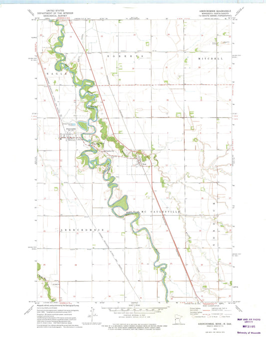
-
Classic USGS Ada Minnesota 7.5'x7.5' Topo Map
Regular price $16.95Regular priceUnit price per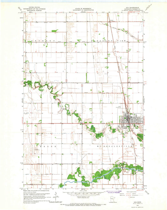
-
Classic USGS Ada NW Minnesota 7.5'x7.5' Topo Map
Regular price $16.95Regular priceUnit price per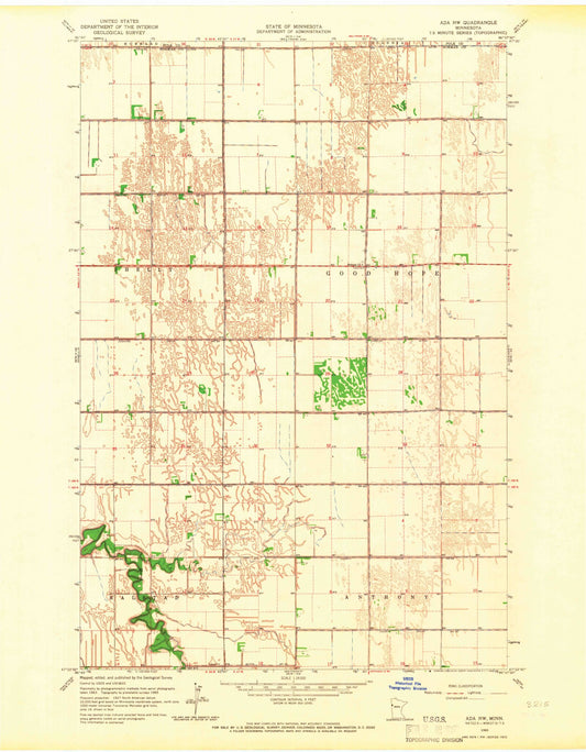
-
Classic USGS Adams Minnesota 7.5'x7.5' Topo Map
Regular price $16.95Regular priceUnit price per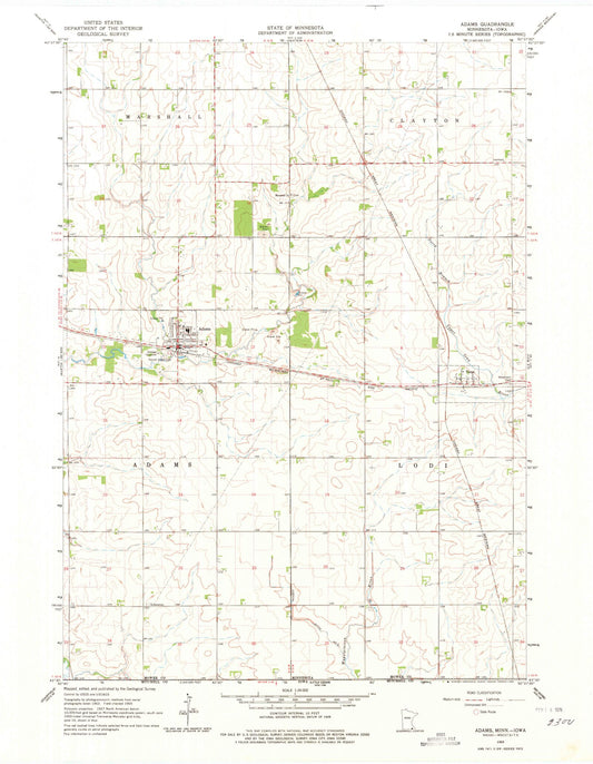
-
Classic USGS Adolph Minnesota 7.5'x7.5' Topo Map
Regular price $16.95Regular priceUnit price per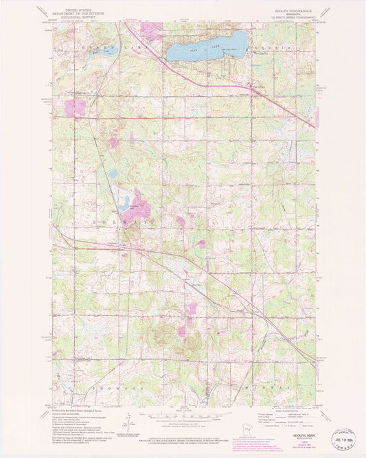
-
Classic USGS Adrian Minnesota 7.5'x7.5' Topo Map
Regular price $16.95Regular priceUnit price per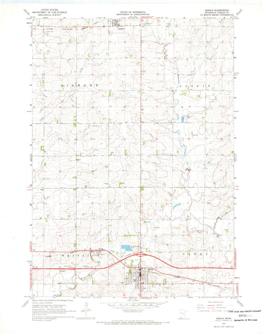
-
Classic USGS Adrian NE Minnesota 7.5'x7.5' Topo Map
Regular price $16.95Regular priceUnit price per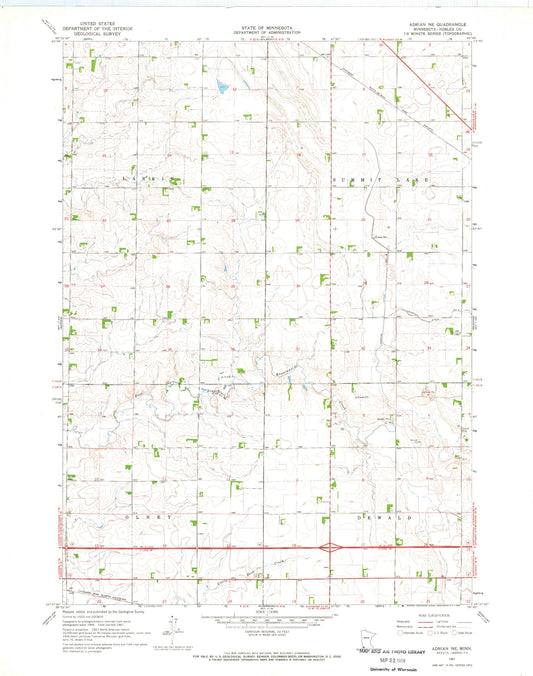
-
Classic USGS Adrian SW Minnesota 7.5'x7.5' Topo Map
Regular price $16.95Regular priceUnit price per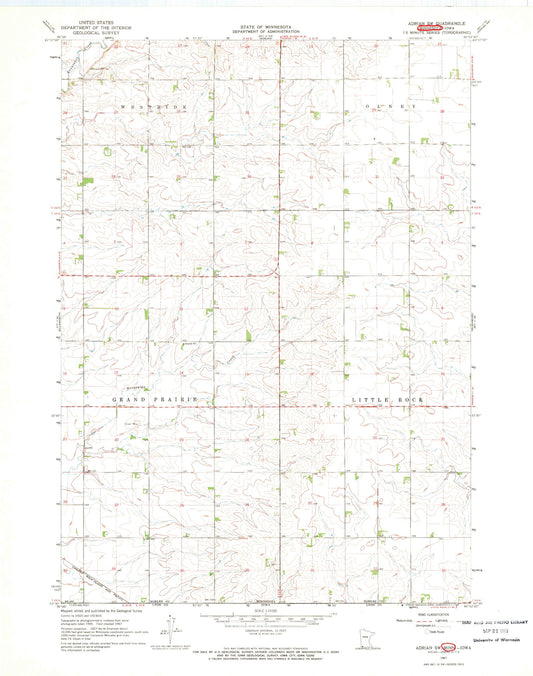
-
Classic USGS Aitkin Minnesota 7.5'x7.5' Topo Map
Regular price $16.95Regular priceUnit price per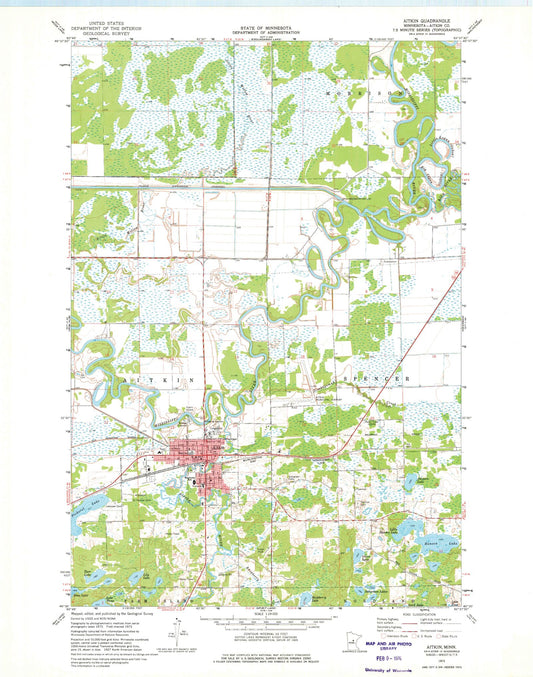
-
Classic USGS Akeley Minnesota 7.5'x7.5' Topo Map
Regular price $16.95Regular priceUnit price per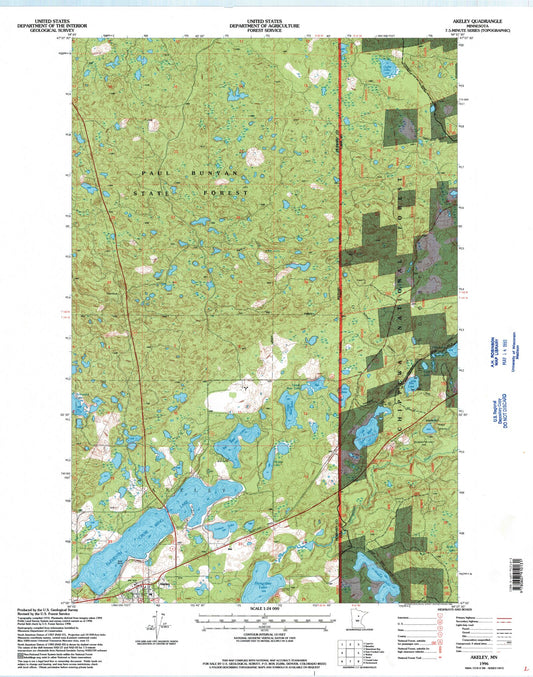
-
Classic USGS Albany Minnesota 7.5'x7.5' Topo Map
Regular price $16.95Regular priceUnit price per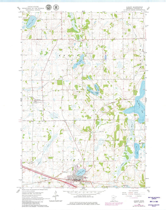
-
Classic USGS Albert Lea East Minnesota 7.5'x7.5' Topo Map
Regular price $16.95Regular priceUnit price per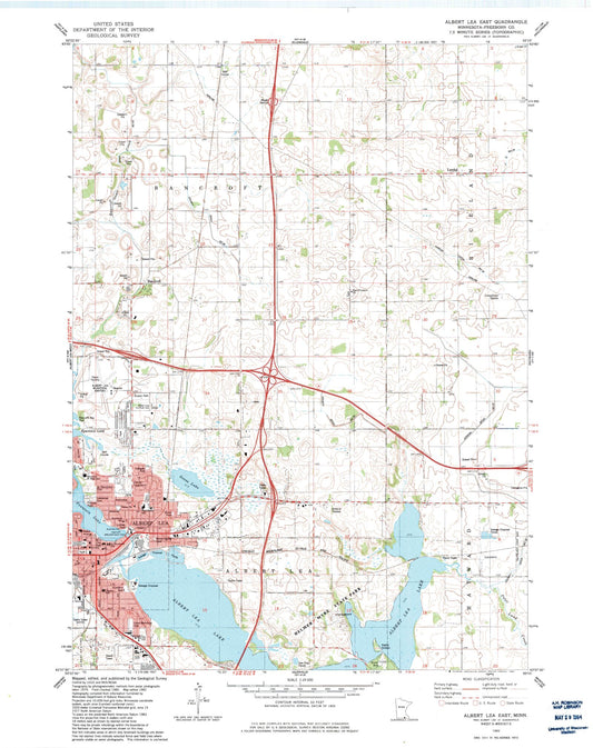
-
Classic USGS Albert Lea West Minnesota 7.5'x7.5' Topo Map
Regular price $16.95Regular priceUnit price per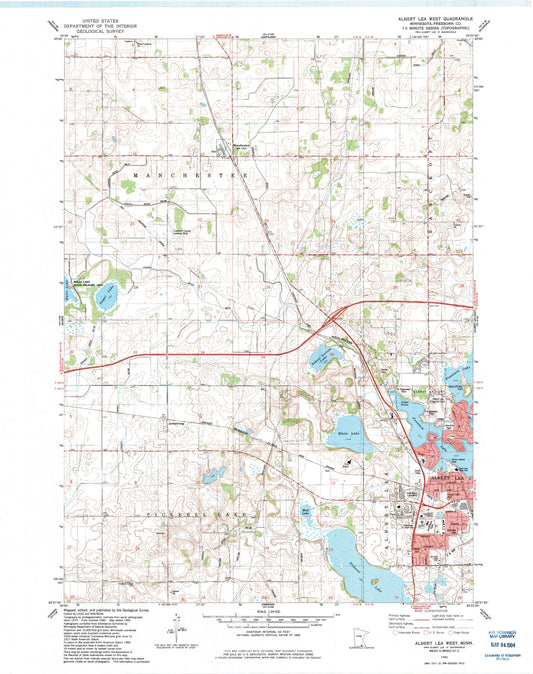
-
Classic USGS Alberta Minnesota 7.5'x7.5' Topo Map
Regular price $16.95Regular priceUnit price per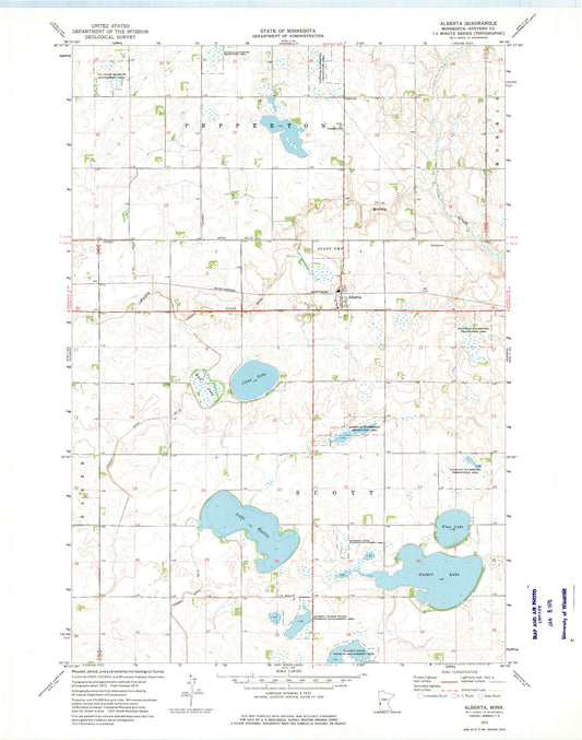
-
Classic USGS Albion Center Minnesota 7.5'x7.5' Topo Map
Regular price $16.95Regular priceUnit price per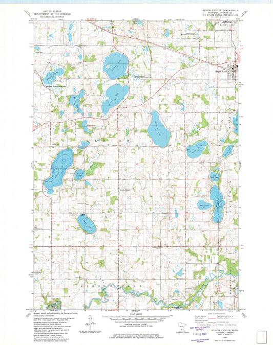
-
Classic USGS Alborn Minnesota 7.5'x7.5' Topo Map
Regular price $16.95Regular priceUnit price per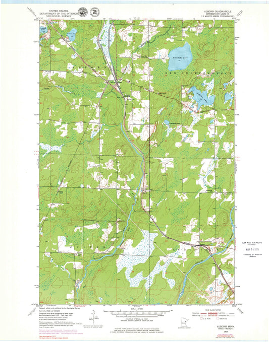
-
Classic USGS Alden Minnesota 7.5'x7.5' Topo Map
Regular price $16.95Regular priceUnit price per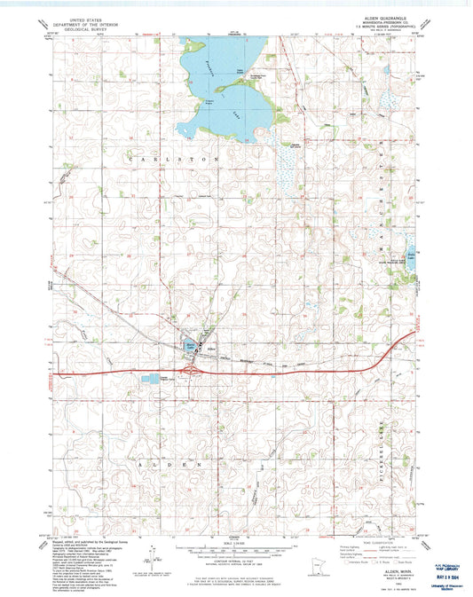
-
Classic USGS Aldrich North Minnesota 7.5'x7.5' Topo Map
Regular price $16.95Regular priceUnit price per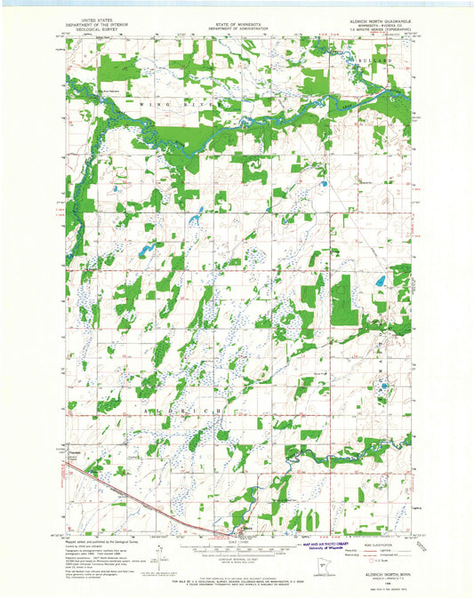
-
Classic USGS Aldrich South Minnesota 7.5'x7.5' Topo Map
Regular price $16.95Regular priceUnit price per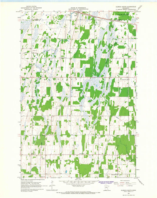
-
Classic USGS Alexandria West Minnesota 7.5'x7.5' Topo Map
Regular price $16.95Regular priceUnit price per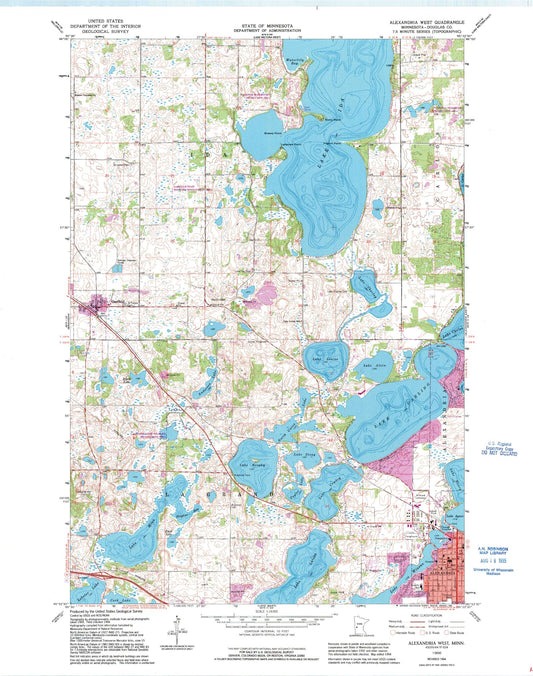
-
Classic USGS Alice Lake Minnesota 7.5'x7.5' Topo Map
Regular price $16.95Regular priceUnit price per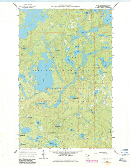
-
Classic USGS Alida Minnesota 7.5'x7.5' Topo Map
Regular price $16.95Regular priceUnit price per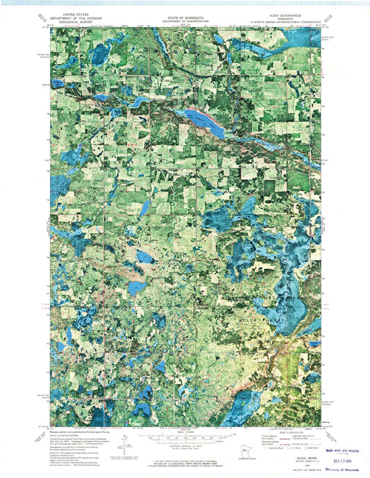
-
Classic USGS Allen Minnesota 7.5'x7.5' Topo Map
Regular price $16.95Regular priceUnit price per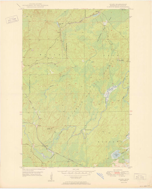
-
Classic USGS Alma Wisconsin 7.5'x7.5' Topo Map
Regular price $16.95Regular priceUnit price per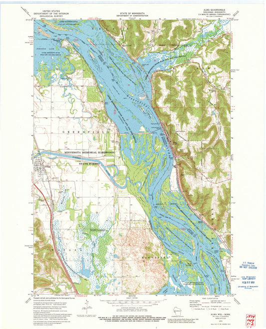


Custom Maps Available
Need something special?
Find your map's location and then customize a map (or photo) to your exact specifications.
USGS Map Legend
Want the "key" to understanding your topographic map?
Check out this handy publication from the USGS.