MyTopo
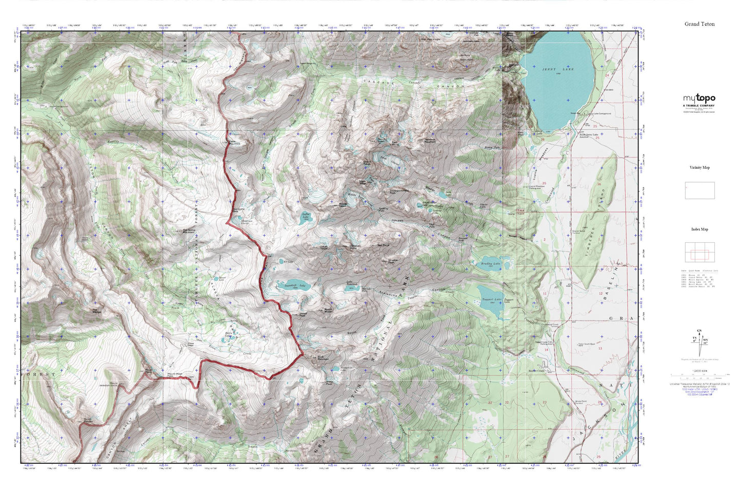
Grand Teton MyTopo Explorer Series Map
Couldn't load pickup availability
Topographic map of Grand Teton in the state of Wyoming. From the MyTopo Explorer Series.
This topo map features shaded relief and comes with UTM / MGRS and Latitude/Longitude grids.
For more than two decades, MyTopo has provided maps to the most adventurous among us.. those who love to explore our nation’s remote wilderness areas, climb our highest peaks, and trek across our vast public lands. This map is part of a curated collection of the most popular places for which MyTopo customers have designed maps. It is a “bucket list” of the most amazing places to hike, hunt, and explore.
This map contains the following named places: 83012,Alaska Basin,Alaska Basin Trail,Albright Peak,Amphitheater Lake,Amphitheater Lake Trail,Avalanche Canyon,Bannock Falls,Basin Lakes,Battleship Mountain,Beaver Creek Trail,Bradley Lake,Bradley Lake Trail,Broken Falls,Buck Mountain,Burned Wagon Gulch,Cleft Falls,Cloudveil Dome,Delta Lake,Devils Stairs,Disappointment Peak,East Prong,Garnet Canyon,Glacier Falls,Glacier Gulch,Grand Teton,Hidden Falls Horse Trail,Hurricane Pass,Icefloe Lake,Kit Lake,Lake Taminah,Lupine Meadows,Middle Teton,Middle Teton Glacier,Moose Pond,Mount Bannon,Mount Jedediah Smith,Mount Meek,Mount Meek Pass,Mount Owen,Mount Wister,Nez Perce,North Fork Teton Creek,Roaring Creek,Schoolroom Glacier,Shadow Peak,Sheep Steps,Shoshoko Falls,Snowdrift Lake,South Fork,South Fork Avalanche Canyon,South Fork Teton Creek,South Teton,Spalding Falls,Static Peak,Sunset Lake,Surprise Lake,Table Mountain,Taggart Lake,Taggart Lake Trail,Teepe Glacier,Teepe Pillar,Teewinot Mountain,Teton Campground,Teton Glacier,Teton Range,The Wall,The Wedge,Timberline Lake,Valley Trail,Veiled Peak


