
MyTopo
Mount Ritter MyTopo Explorer Series Map
Couldn't load pickup availability
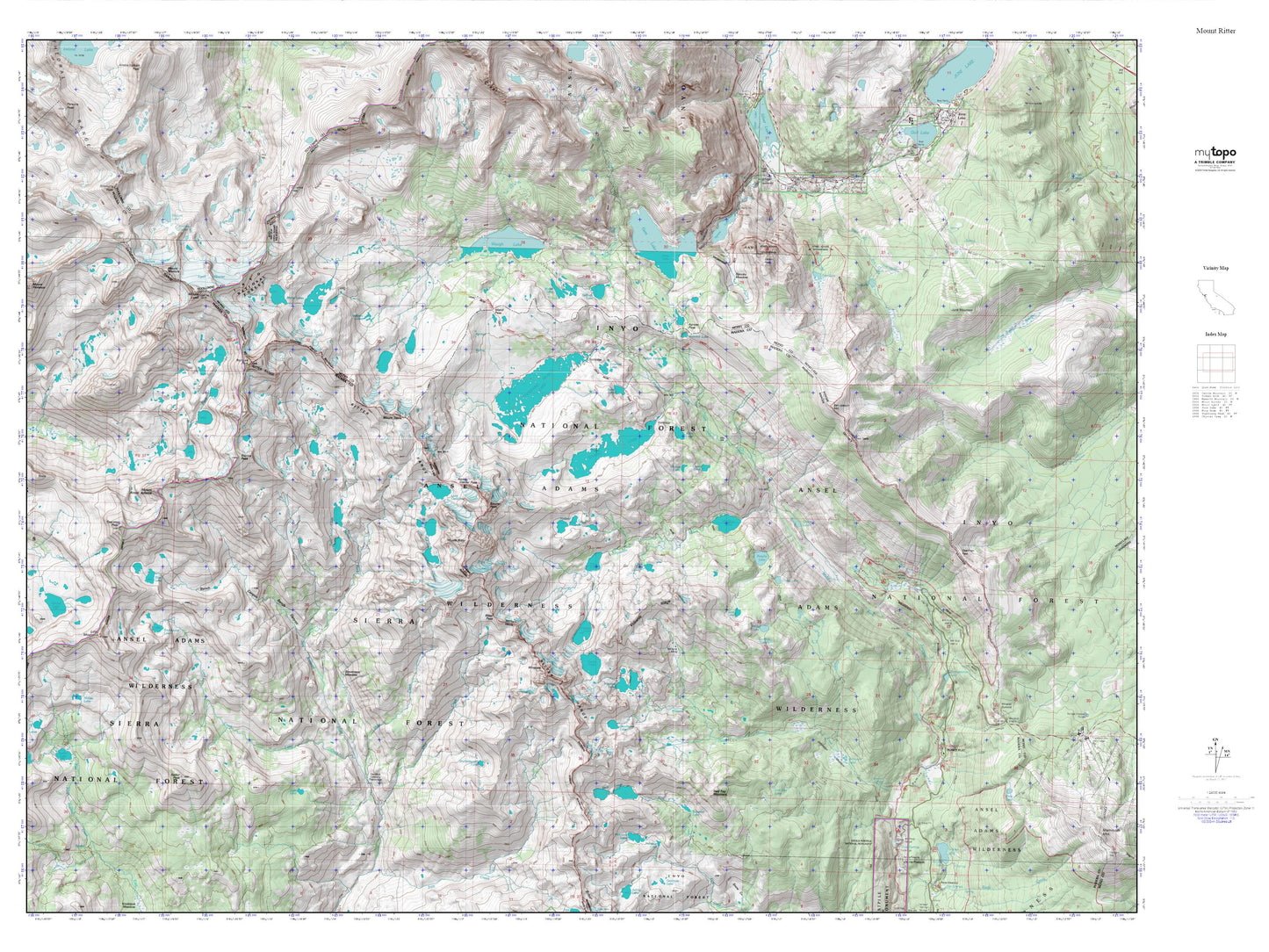
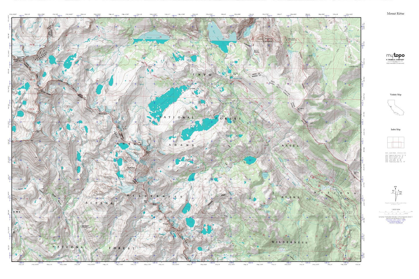
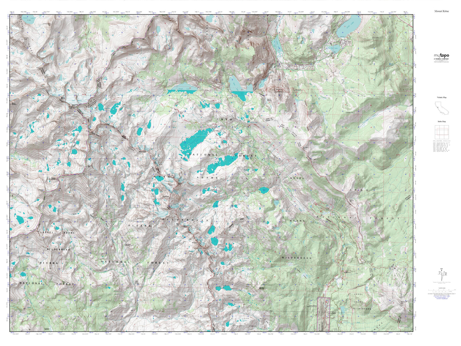
Topographic map of Mount Ritter in the state of California. From the MyTopo Explorer Series.
This topo map features shaded relief and comes with UTM / MGRS and Latitude/Longitude grids.
For more than two decades, MyTopo has provided maps to the most adventurous among us.. those who love to explore our nation’s remote wilderness areas, climb our highest peaks, and trek across our vast public lands. This map is part of a curated collection of the most popular places for which MyTopo customers have designed maps. It is a “bucket list” of the most amazing places to hike, hunt, and explore.
This map contains the following named places: Agnew Meadows,Agnew Meadows Group Campground,Agnew Pass,Altha Lake,Badger Lakes,Banner Peak,Bench Canyon,Cabin Lake,Castle Lake,Cecile Lake,Clarice Lake,Clark Lakes,Davis Lakes,Ediza Lake,Electra Peak,Emerald Lake,Emily Lake,Fern Lake,Garnet Lake,Gladys Lake,Iceberg Lake,Island Pass,Lake Catherine,Laura Lake,Lois Lake,Lyell Glacier,Marie Lakes,Minaret Lake,Minaret Mine,Minarets,Mount Davis,Mount Lyell,Mount Ritter,Nydiver Lakes,Olaine Lake,Ritter Range,Rodgers Lakes,Rodgers Peak,Rosalie Lake,Ruby Lake,San Joaquin Mountain,Shadow Creek,Shadow Lake,Spooky Meadow,Stevenson Meadow,Sullivan Lake,Summit Lake,Thousand Island Lake,Trinity Lakes,Twin Island Lakes,Two Teats,Vivian lake,Volcanic Ridge,Weber Lake,Yost Lake