MyTopo
Classic USGS Garo Colorado 7.5'x7.5' Topo Map
Couldn't load pickup availability
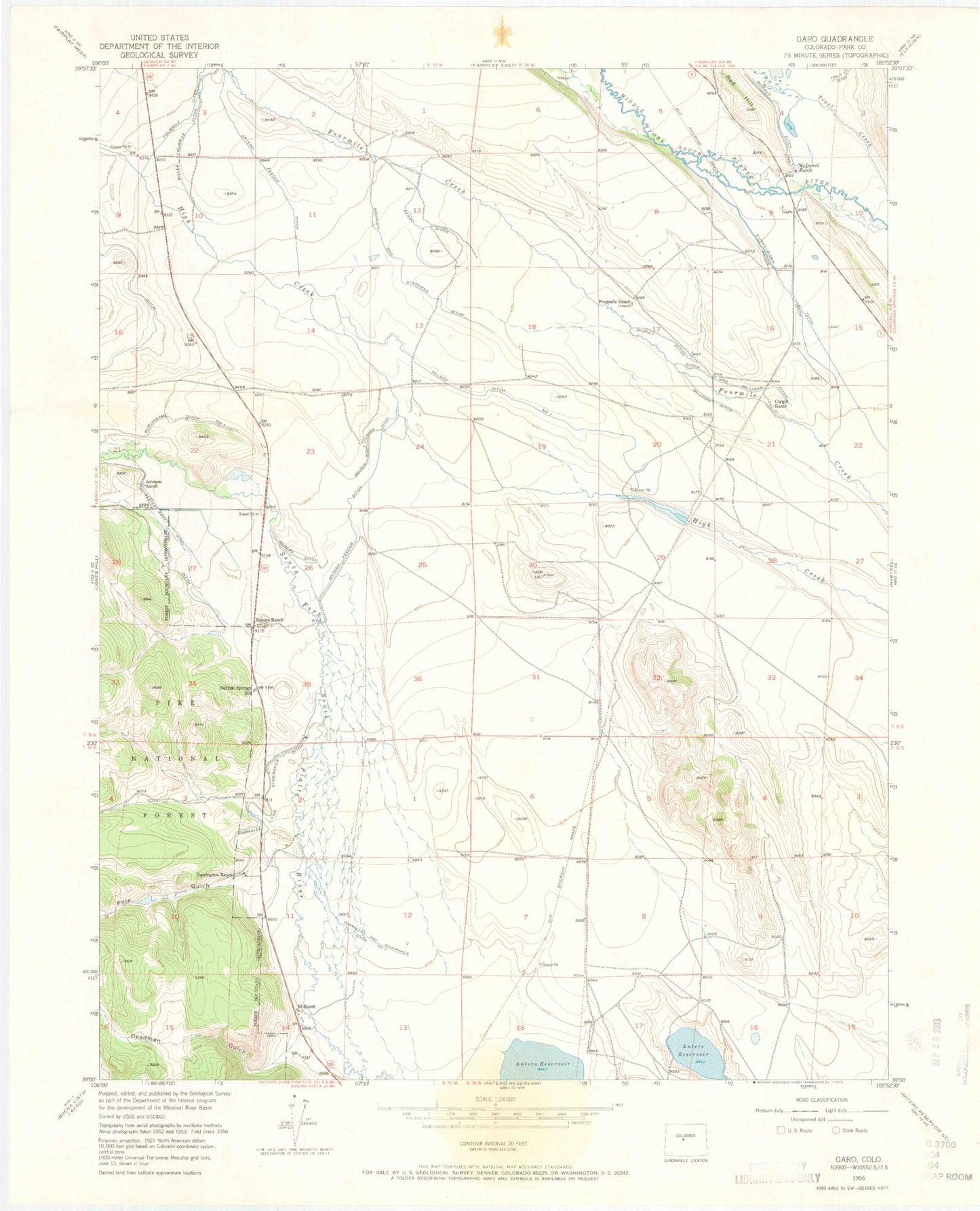
Historical USGS topographic quad map of Garo in the state of Colorado. Map scale may vary for some years, but is generally around 1:24,000. Print size is approximately 24" x 27"
This quadrangle is in the following counties: Park.
The map contains contour lines, roads, rivers, towns, and lakes. Printed on high-quality waterproof paper with UV fade-resistant inks, and shipped rolled.
Contains the following named places: 63 Ranch, Alden and Milligan Ditch, Antero Feeder Ditch, Berry Ditch, Bronlow and Stephens Ditch, Buffalo Springs Campground, Buffalo Springs Cemetery, Buffalo Springs School, Burlingame Number 3 Ditch, Cargill Ranch, Deadman Gulch, Dudley Ditch, Duval Discovery Mine, Elisha-Alden Ditch, Fourmile Ditch, Fourmile Ranch, Garo, Garo Prospect Mine, Guiraud Ditch, Harrington Ranch, Johnson Ranch, Kester Sweet Ditch, McDowell Ranch, Miller Fourmile Ditch, Milligan Ditch, Nelson Ditch Number 3, Nelson High Creek Ditch, Parmalee and Shoemaker Ditch, Parmalee and Shoemaker Ditch Number 3, Pole Gulch, Prince Ditch, Rogers Ditch, Rogers Ranch, Shirley May Mine