MyTopo
Classic USGS Gomez Peak Texas 7.5'x7.5' Topo Map
Couldn't load pickup availability
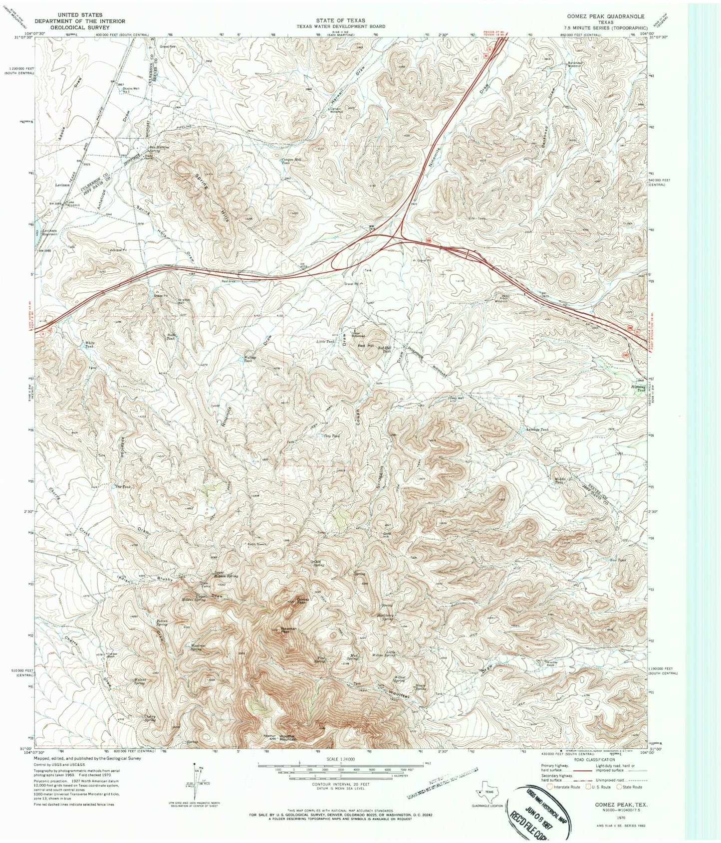
Historical USGS topographic quad map of Gomez Peak in the state of Texas. Map scale may vary for some years, but is generally around 1:24,000. Print size is approximately 24" x 27"
This quadrangle is in the following counties: Culberson, Jeff Davis, Reeves.
The map contains contour lines, roads, rivers, towns, and lakes. Printed on high-quality waterproof paper with UV fade-resistant inks, and shipped rolled.
Contains the following named places: Antelope Tank, Arbor Windmill, Bankhead Windmill, Brushy Draw, Canyon Mill Tank, Canyon Windmill, Cherry Spring, Clay Tank, Cold Spring, Cowan Draw, Cowan Homestead, Cowden Ranch, Cox Tank, Deer Camp, Gold Hill, Gomez Peak, Hackberry Spring, Highway Tank, House Spring, Indian Spring, Indian Springs, Lake Windmill, Levinson, Levinson Reservoir Dam, Little Tank, Little Willow Spring, Little Willow Springs, Lower Hidden Spring, Middle Tank, Mud Spring, New Tank, Newman Peak, Pine Spring, Red Hill, Red Hill Tank, Rock Tank, San Martine Spring, Scroggins Draw, Spring Hills, Spring Hills Draw, Stocks Ranch, Stocks Well Number One, Stratton Well, Upper Hidden Spring, Wallace Tank, Walnut Spring, White Tank, Willow Spring, Woodrow Spring, Woulfter Mountain, Woulfter Ranch


