MyTopo
Classic USGS Hawkins Texas 7.5'x7.5' Topo Map
Couldn't load pickup availability
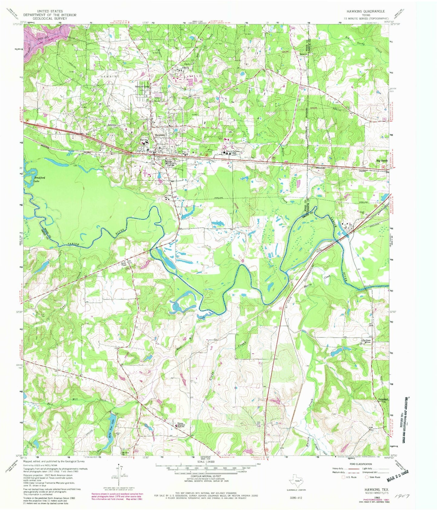
Historical USGS topographic quad map of Hawkins in the state of Texas. Map scale may vary for some years, but is generally around 1:24,000. Print size is approximately 24" x 27"
This quadrangle is in the following counties: Smith, Upshur, Wood.
The map contains contour lines, roads, rivers, towns, and lakes. Printed on high-quality waterproof paper with UV fade-resistant inks, and shipped rolled.
Contains the following named places: Bethlehem Church, Born Branch, Bradford Lake, Brown Lake Number 2, Brown Lake Number 2 Dam, Champion Emergency Medical Service, City of Hawkins, East Mill Creek, Fairmont Branch Library, Fouke-Hawkins High School, Glade Creek, Haney Cemetery, Harris Creek, Hawkins, Hawkins Camp, Hawkins City Cemetery, Hawkins City Hall, Hawkins High School, Hawkins Oil Field, Hawkins Police Department, Hawkins Post Office, Hawkins Volunteer Fire Department, Holly Tree Dam, Holly Tree Lake, Jarvis Christian College, Jarvis College Cemetery, Kay Cemetery, Kay Creek, KLTV-TV (Tyler), KTYL-FM (Tyler), KVNE-FM (Tyler), Lake Clear, Liberty Church, Lynn Creek, Mount Olive Church, Paron Church, Pine Hurst Farm, Pinehurst Farm Lake Dam, Pinehurst Farms Lake, Rogers Creek, Simpson Creek, Smith Chapel, Varnon Cemetery, Waters Bluff Church, Wells Park, White Oak Creek, Winona Division, Winona Industrial High School, Wood County Constable's Office Precinct 3