MyTopo
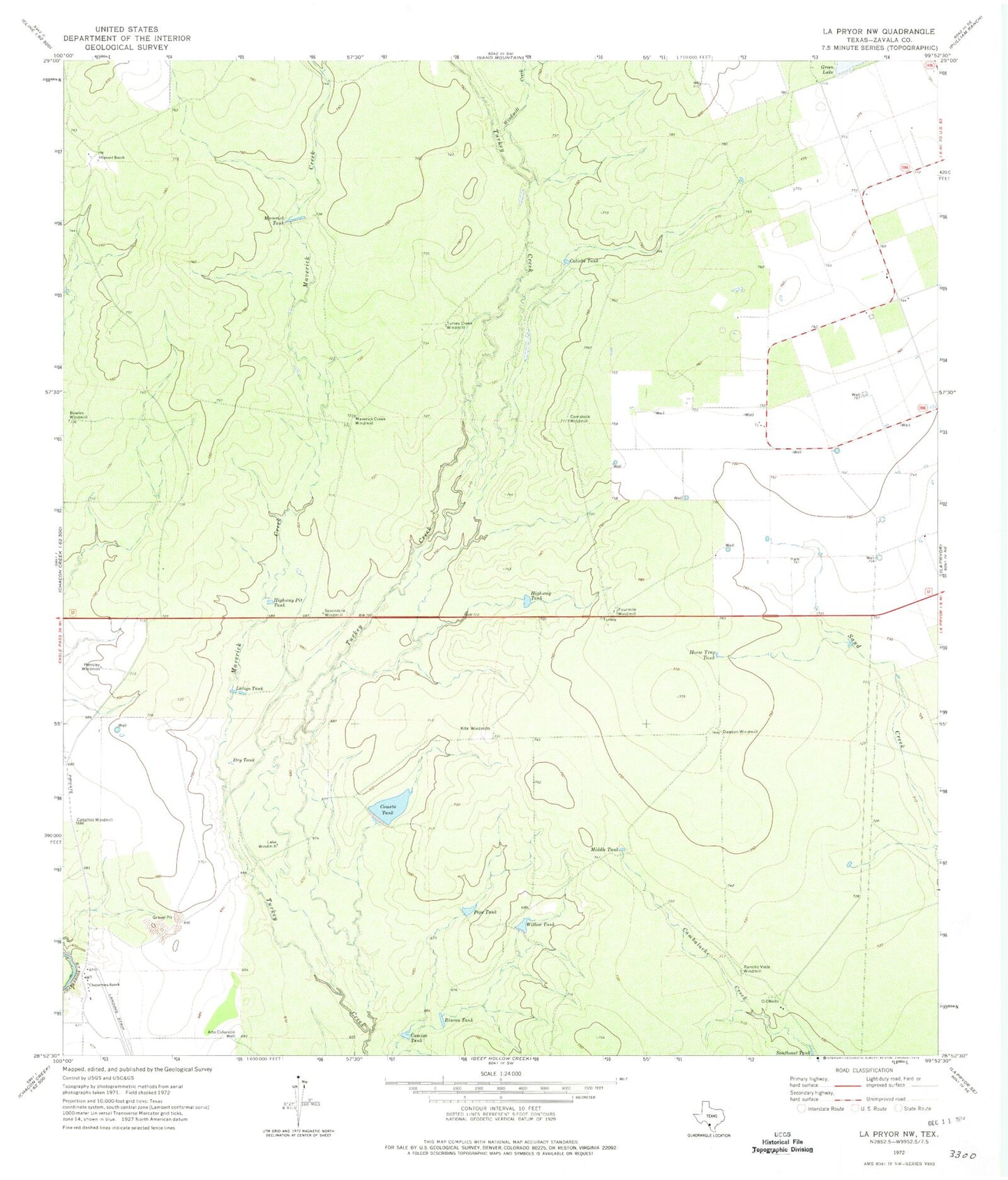
Classic USGS La Pryor NW Texas 7.5'x7.5' Topo Map
Couldn't load pickup availability
Historical USGS topographic quad map of La Pryor NW in the state of Texas. Map scale may vary for some years, but is generally around 1:24,000. Print size is approximately 24" x 27"
This quadrangle is in the following counties: Zavala.
The map contains contour lines, roads, rivers, towns, and lakes. Printed on high-quality waterproof paper with UV fade-resistant inks, and shipped rolled.
Contains the following named places: Alto Colorado Well, Bowles Windmill, Caballos Windmill, Caliche Tank, Camisa Tank, Chaparrosa Lake, Chaparrosa Lake Dam, Chaparrosa Ranch, Chaparrosa Ranch Airport, Cometa Tank, Comstock Windmill, Dawson Windmill, Dry Tank, Fourmile Windmill, Green Lake, Hensley Windmill, Highway Pit Tank, Highway Tank, Horse Trap Tank, Kite Windmill, La Pryor Division, Lake Windmill, Latigo Tank, Maverick Creek, Maverick Creek Windmill, Maverick Tank, Middle Tank, Oliphant Ranch, Pepe Tank, Rancho Viejo Windmill, Rincon Tank, Sevenmile Windmill, Turkey Creek Windmill, Watkins Lake Number 2, Watkins Lake Number 2 Dam, Willow Tank, Willow Tank Dam, Windmill Creek