MyTopo
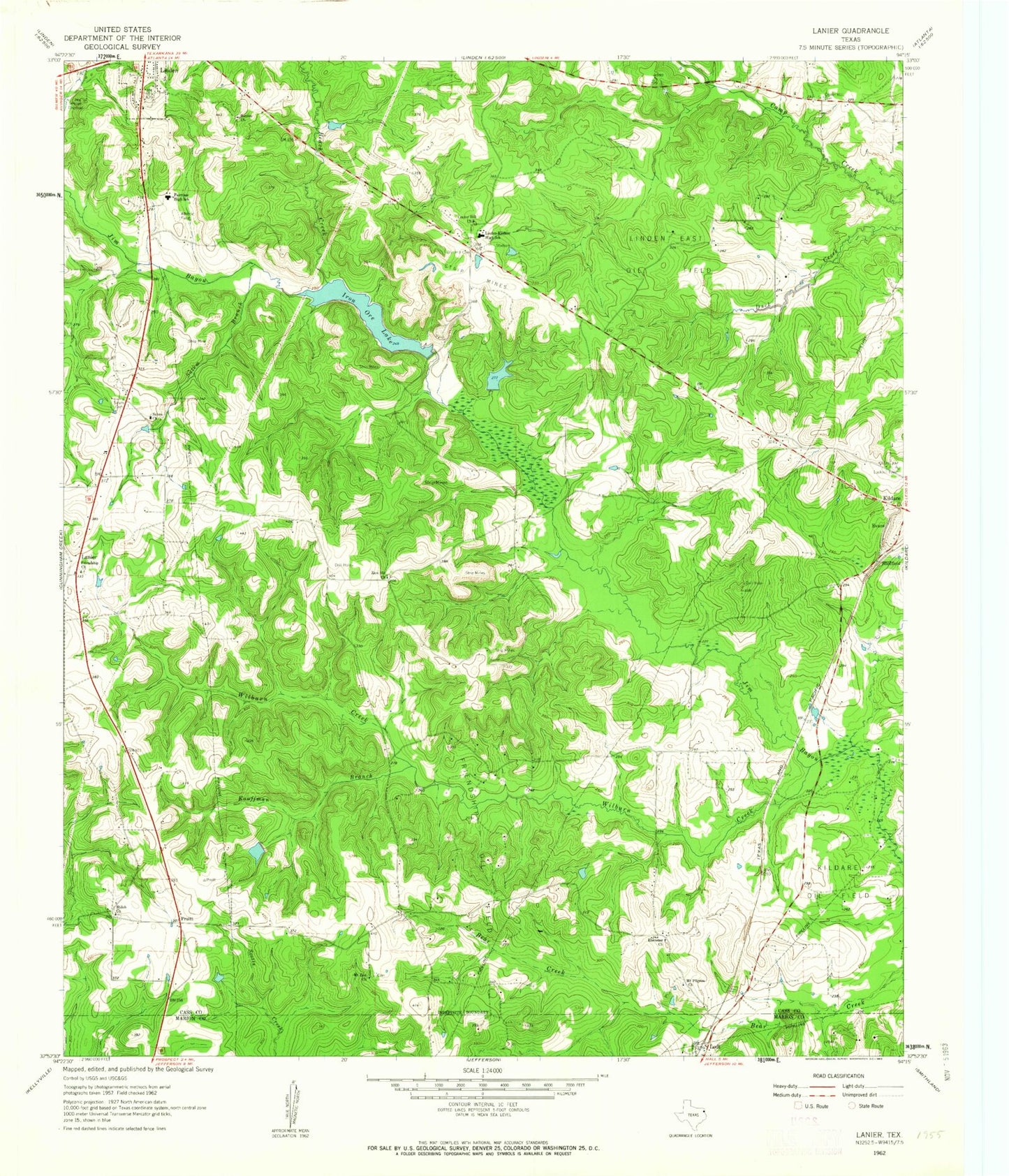
Classic USGS Lanier Texas 7.5'x7.5' Topo Map
Couldn't load pickup availability
Historical USGS topographic quad map of Lanier in the state of Texas. Map scale may vary for some years, but is generally around 1:24,000. Print size is approximately 24" x 27"
This quadrangle is in the following counties: Cass, Marion.
The map contains contour lines, roads, rivers, towns, and lakes. Printed on high-quality waterproof paper with UV fade-resistant inks, and shipped rolled.
Contains the following named places: Beach Creek, Center Hill Cemetery, Center Hill Church, Center Hill Volunteer Fire Department, Ebenezer Church, Evans, Fairview High School, Friendship Church, Friendship Oil Field, Hall Lake Number 1, Hall Lake Number 1 Dam, Hall Lake Number 2, Hall Lake Number 2 Dam, Iron Ore Lake, Iron Ore Lake Dam, Kouffman Branch, Lanier, Linden Division, Linden East Oil Field, Linden-Kildare High School, Lodi, Lodi Post Office, Mount Pilgrim Church, Mount Zion Church, Pruett, Salem Branch, Salem Cemetery, Salem Church, Sheffield, Shiloh Church, Sunrise Church, Wilburn Creek, Zion Hill Cemetery, Zion Hill Church