MyTopo
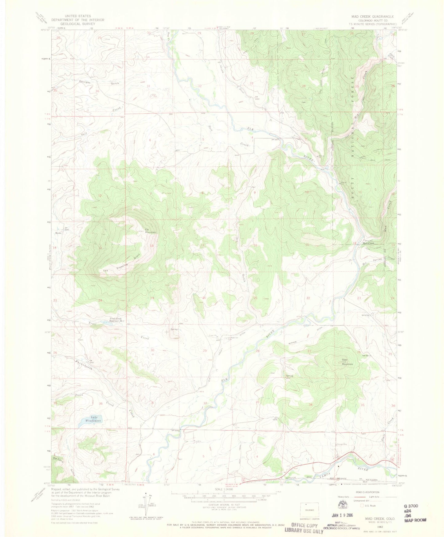
Classic USGS Mad Creek Colorado 7.5'x7.5' Topo Map
Couldn't load pickup availability
Historical USGS topographic quad map of Mad Creek in the state of Colorado. Map scale may vary for some years, but is generally around 1:24,000. Print size is approximately 24" x 27"
This quadrangle is in the following counties: Routt.
The map contains contour lines, roads, rivers, towns, and lakes. Printed on high-quality waterproof paper with UV fade-resistant inks, and shipped rolled.
Contains the following named places: Big Creek, Cabin Creek, Christina State Wildlife Area, Deep Creek, Deer Mountain, Ditch Creek, Dry Gulch, Eagle Soaring Airport, Elk Mountain, Elk Mountain Cemetery, Elk Valley Ditch, Farnsworth Creek, Fawn Creek, Georges Gulch, Hot Spring Creek, Hubbard Gulch, Lake Windemere, Mad Creek, Mad Creek Trailhead, Mystic, Salt Creek, Slate Creek, Steamboat II, The Sleeping Giant, Trull Creek, Trull Creek Number 1 Dam, Trull Creek Reservoir Number 1, Wither Ditch