MyTopo
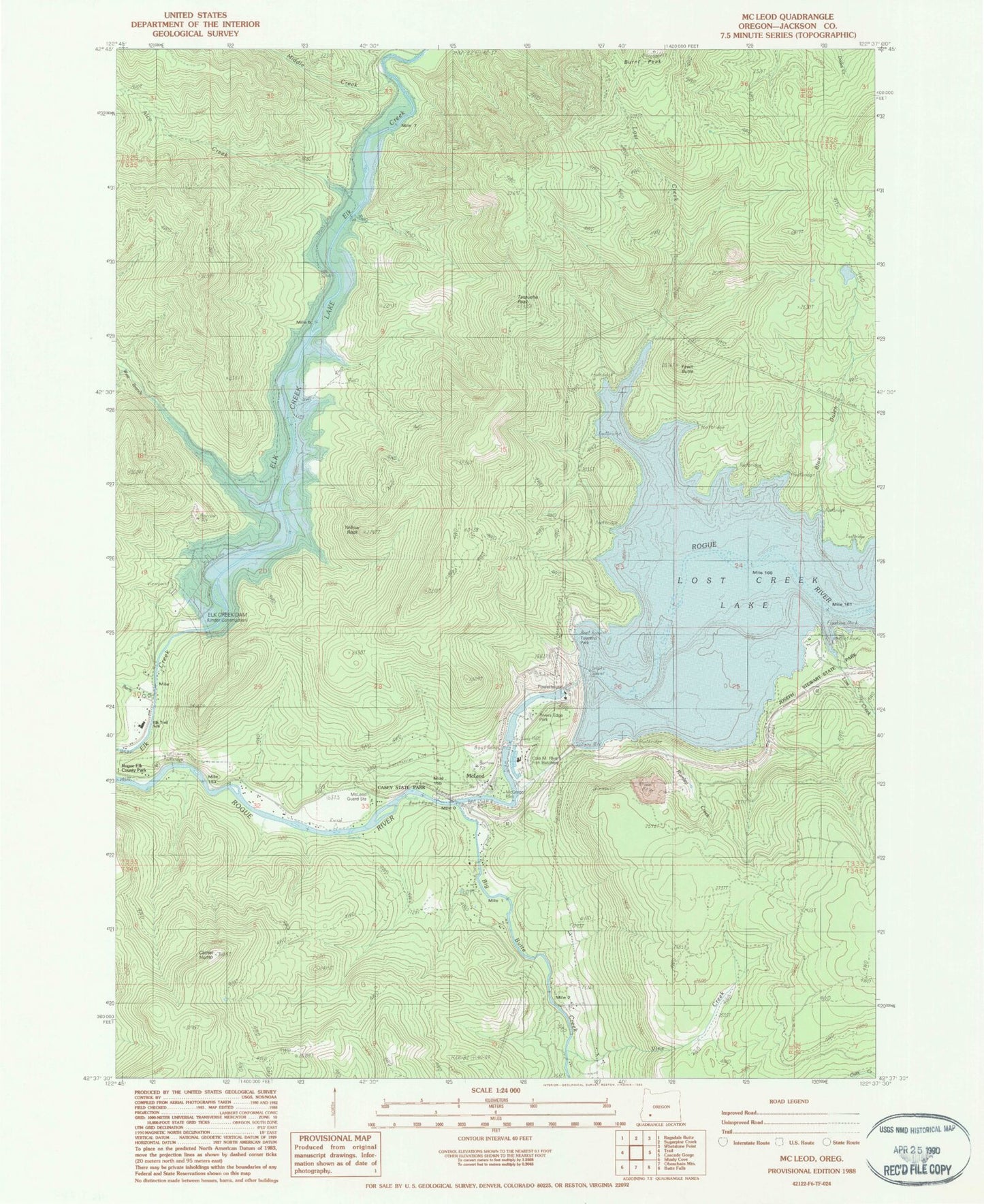
Classic USGS McLeod Oregon 7.5'x7.5' Topo Map
Couldn't load pickup availability
Historical USGS topographic quad map of McLeod in the state of Oregon. Map scale may vary for some years, but is generally around 1:24,000. Print size is approximately 24" x 27"
This quadrangle is in the following counties: Jackson.
The map contains contour lines, roads, rivers, towns, and lakes. Printed on high-quality waterproof paper with UV fade-resistant inks, and shipped rolled.
Contains the following named places: Alco Creek, Alcoe Post Office, Berrian Spring, Berry Creek, Big Butte Creek, Blue Gulch, Burnt Peak, Camel Hump, Casey State Park, Casey State Recreation Site Non-Motorized Boat Ramp, Cole M Rivers Fish Hatchery, Elk Creek Dam, Elk Creek Lake, Elk Creek Reservoir, Elk Trail Elementary School, Fall Creek, Fawn Butte, Floras Creek, Jackson County Fire District 4 Trail Station, Joseph Stewart State Park Boat Ramp, Lost Creek, Lost Creek Dam, Lost Creek Lake, McGregor Park, McGregor Park Non-Motor Boat Ramp, McLeod, McLeod Forest Service Station, McLeod Guard Station, McLeod Wayside, Middle Creek, Peyton Post Office, Rivers Edge Park, Rogue River Non - Motorized Boat Launch, Rumley Creek, Sandoz, Spot Creek, Stewart State Park Lost Creek Lake Marina, Takelma Boat Ramp, Takelma Park Picnic Area, Tatouche Peak, Vine Creek, West Branch Elk Creek, Yellow Rock, Yellow Rock Canyon