MyTopo
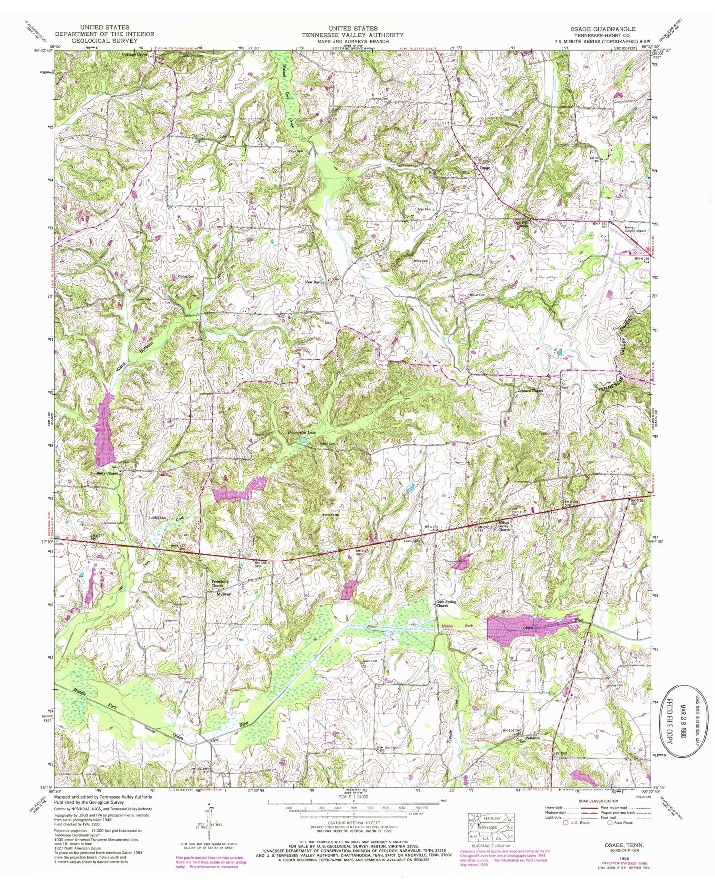
Classic USGS Osage Tennessee 7.5'x7.5' Topo Map
Couldn't load pickup availability
Historical USGS topographic quad map of Osage in the state of Tennessee. Map scale may vary for some years, but is generally around 1:24,000. Print size is approximately 24" x 27"
This quadrangle is in the following counties: Henry.
The map contains contour lines, roads, rivers, towns, and lakes. Printed on high-quality waterproof paper with UV fade-resistant inks, and shipped rolled.
Contains the following named places: Alexander Cemetery, Barris Chapel School, Barrs Chapel Cemetery, Barrs Chapel Christian Methodist Episcopal Church, Bowden Cemetery, Briarpatch Lake, Central Point Baptist Church, Central Point School, Coley Cemetery, Cottage Grove Division, Cottage Grove Volunteer Fire Department, Dumas Cemetery, Edwards Cemetery, Elbethel School, Flood Water Retarding Dam Number One, Friendship Church, Gum Spring Church, Hancel Cemetery, Hearndale, Henry County Airport, Howard Cemetery, Janes Cemetery, Johnson Chapel, Johnson Chapel Cemetery, Jones Cemetery, Lampkins Cemetery, Lebanon Church, Leoney Cemetery, Lewis Cemetery, Lumbix Cemetery, McCall Cemetery, Middle Fork Obion Dam Five, Middle Fork Obion Lake Five, Middle Fork Obion River Dam Number Four, Middle Fork Obion River Dam Number Six, Middle Fork Obion River Dam Number Three, Middle Fork Obion River Dam Number Two, Middle Fork Obion River Lake Number Four, Middle Fork Obion River Lake Number Six, Middle Fork Obion River Lake Number Three, Middle Fork Obion River Lake Number Two, Midway, Milton Grove Church, Morrow Cemetery, New Boston, New Boston Cemetery, New Boston School, Nichols School, Oak Hall School, Oak Hill Cemetery, Oak Hill Church, Olive Cemetery, Osage, Osage School, Owen Cemetery, Palestine, Palestine Cemetery, Princes Store, Pritchett Cemetery, Rogers Mill, Shell Academy, Simmons Cemetery, Smith Cemetery, Speight Cemetery, Taylor Cemetery, Tharp Cemetery, Trainer Creek, Travis Cemetery, Tyler Cemetery, Tyler-Compton Cemetery, Ward Bottom


