MyTopo
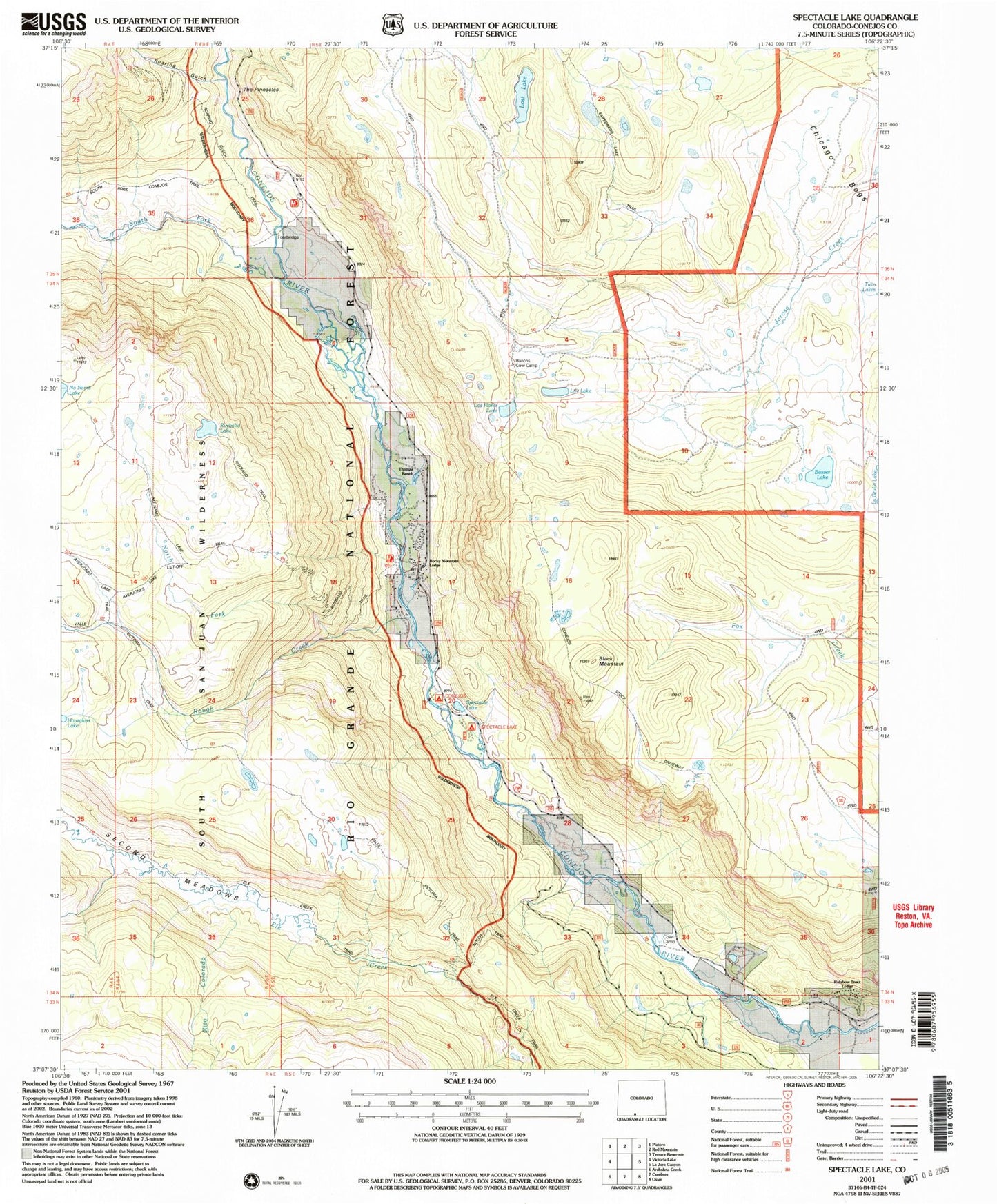
USGS Classic Spectacle Lake Colorado 7.5'x7.5' Topo Map
Couldn't load pickup availability
Historical USGS topographic quad map of Spectacle Lake in the state of Colorado. Scale: 1:24000. Print size: 24" x 27"
This quadrangle is in the following counties: Conejos.
The map contains contour lines, roads, rivers, towns, lakes, and grids including latitude / longitude and UTM / MGRS. Printed on high-quality waterproof paper with UV fade-resistant inks.
Contains the following named places: South Fork Conejos River, Roaring Gulch, Ruybalid Trail, Rito Colorado, Notch Trail, Rainbow Trout Lodge, Spectacle Lake, Black Mountain, Conejos Campground, Rough Creek, North Fork Rough Creek, Rocky Mountain Lodge, Thomas Ranch, Beaver Lake, Ruybalid Lake, Los Flores Lake, Lily Lake, Bancos Cow Camp, The Pinnacles, Lost Lake, Second Meadows, Spectacle Lake Campground, Chicago Bogs, Conejos Stock Driveway