MyTopo
Classic USGS Valley View Hot Springs Colorado 7.5'x7.5' Topo Map
Couldn't load pickup availability
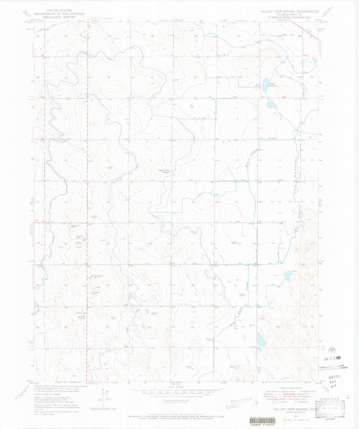
Historical USGS topographic quad map of Valley View Hot Springs in the state of Colorado. Typical map scale is 1:24,000, but may vary for certain years, if available. Print size: 24" x 27"
This quadrangle is in the following counties: Custer, Saguache.
The map contains contour lines, roads, rivers, towns, and lakes. Printed on high-quality waterproof paper with UV fade-resistant inks, and shipped rolled.
Contains the following named places: Steel Canyon, Black Canyon, Orient Canyon, Orient Mine, Cottonwood Peak, Aspen Gulch, Hot Springs Canyon, Cotton Creek Cemetery, Valley View Hot Springs, Garner Creek, Major Creek, Cotton Creek, Lime Canyon, Cotton Creek Ditch, Anna Lee Mine, Millie Luna Mine, Sylvia Mine, Faith Mine, Old Bennet Mine, Steel Canyon, Black Canyon, Orient Canyon, Orient Mine, Cottonwood Peak, Aspen Gulch, Hot Springs Canyon, Cotton Creek Cemetery, Valley View Hot Springs, Garner Creek, Major Creek, Cotton Creek, Lime Canyon, Cotton Creek Ditch, Anna Lee Mine, Millie Luna Mine, Sylvia Mine, Faith Mine, Old Bennet Mine