MyTopo
Classic USGS Vineland Colorado 7.5'x7.5' Topo Map
Regular price
$16.95
Regular price
Sale price
$16.95
Unit price
per
Couldn't load pickup availability
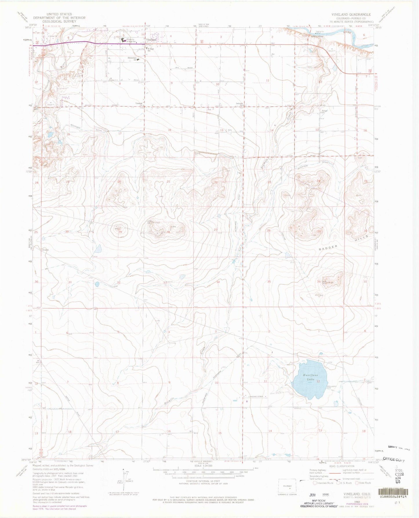
Historical USGS topographic quad map of Vineland in the state of Colorado. Map scale may vary for some years, but is generally around 1:24,000. Print size is approximately 24" x 27"
This quadrangle is in the following counties: Pueblo.
The map contains contour lines, roads, rivers, towns, and lakes. Printed on high-quality waterproof paper with UV fade-resistant inks, and shipped rolled.
Contains the following named places: Avondale Division, Badger Hills, Banner School, Broadacre Landfill, Huerfano Lake, Lakeside School, Pueblo County High School, Pueblo Rural Fire Protection District Station 2, Sixmile Creek, Vineland, Vineland Census Designated Place, Vineland Church, ZIP Code: 81006