MyTopo
Classic USGS Waverly Colorado 7.5'x7.5' Topo Map
Regular price
$16.95
Regular price
Sale price
$16.95
Unit price
per
Couldn't load pickup availability
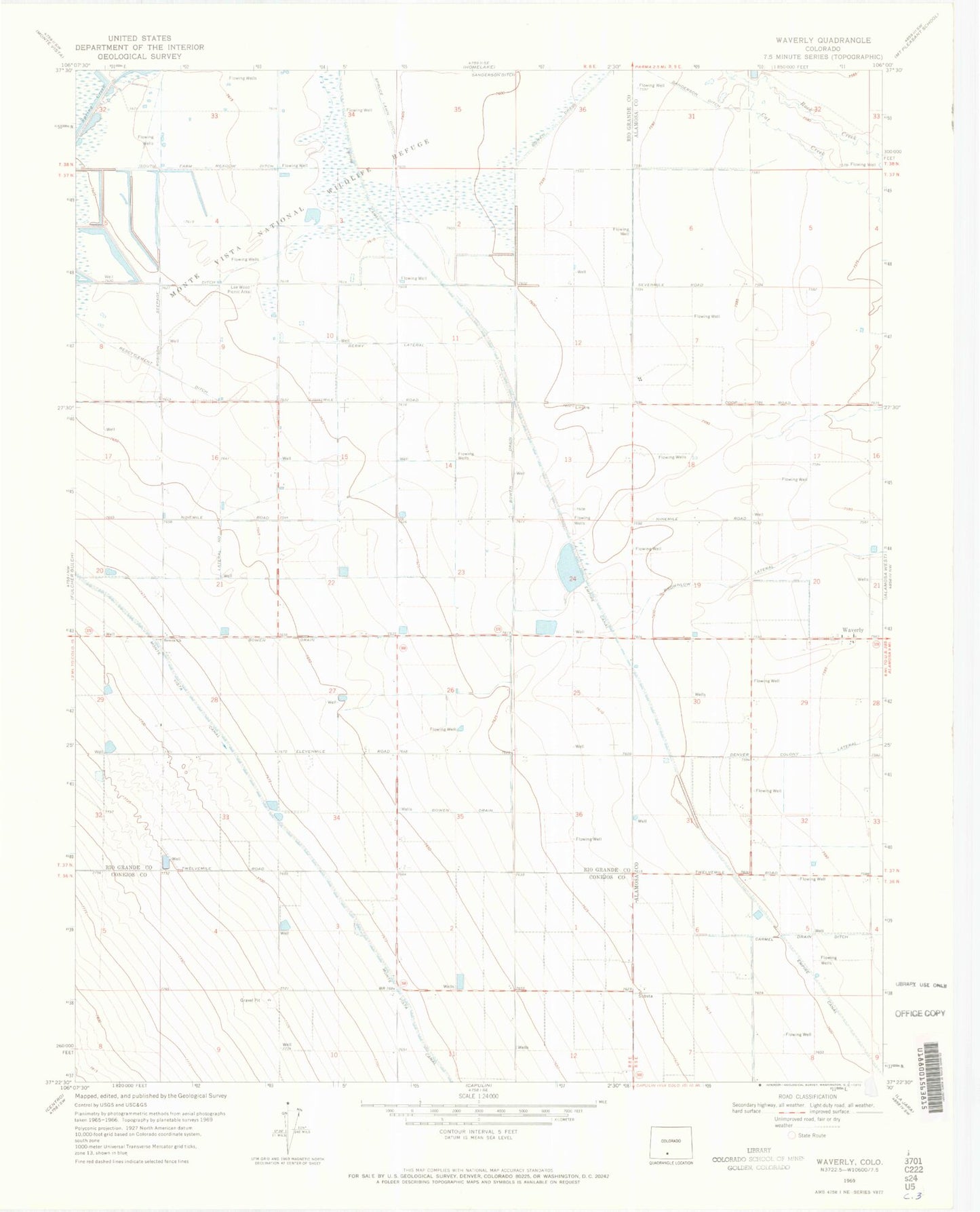
Historical USGS topographic quad map of Waverly in the state of Colorado. Map scale may vary for some years, but is generally around 1:24,000. Print size is approximately 24" x 27"
This quadrangle is in the following counties: Alamosa, Conejos, Rio Grande.
The map contains contour lines, roads, rivers, towns, and lakes. Printed on high-quality waterproof paper with UV fade-resistant inks, and shipped rolled.
Contains the following named places: Alamosa Christian Reformed Church, Bowen Community United Church, Bowen Drain, Empire Canal, Lee Wood Picnic Area, Monte Vista National Wildlife Refuge, Resettlement Ditch, Robison Seepage Ditch, South Farm Meadow Ditch, Spruce Lawn Ditch, Waverly