MyTopo
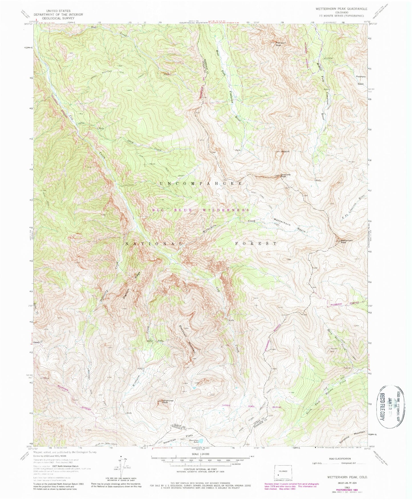
Classic USGS Wetterhorn Peak Colorado 7.5'x7.5' Topo Map
Couldn't load pickup availability
Historical USGS topographic quad map of Wetterhorn Peak in the state of Colorado. Typical map scale is 1:24,000, but may vary for certain years, if available. Print size: 24" x 27"
This quadrangle is in the following counties: Hinsdale, Ouray.
The map contains contour lines, roads, rivers, towns, and lakes. Printed on high-quality waterproof paper with UV fade-resistant inks, and shipped rolled.
Contains the following named places: Wildhorse Peak, Blackwall Mountain, American Lake, Mary Alice Creek, Wildhorse Creek, Difficulty Creek, Bighorn Ridge, Wetterhorn Creek, Wetterhorn Peak, Wetterhorn Basin, Coxcomb Peak, Redcliff, Precipice Peak, West Fork Trail, Cow Creek Trail, Oben Creek, Ridge Stock Driveway, Dike Ridge, Middle Canyon, Green Mountain Trail, Porphyry Basin, Sunshine Mountain, Chord Mine