MyTopo
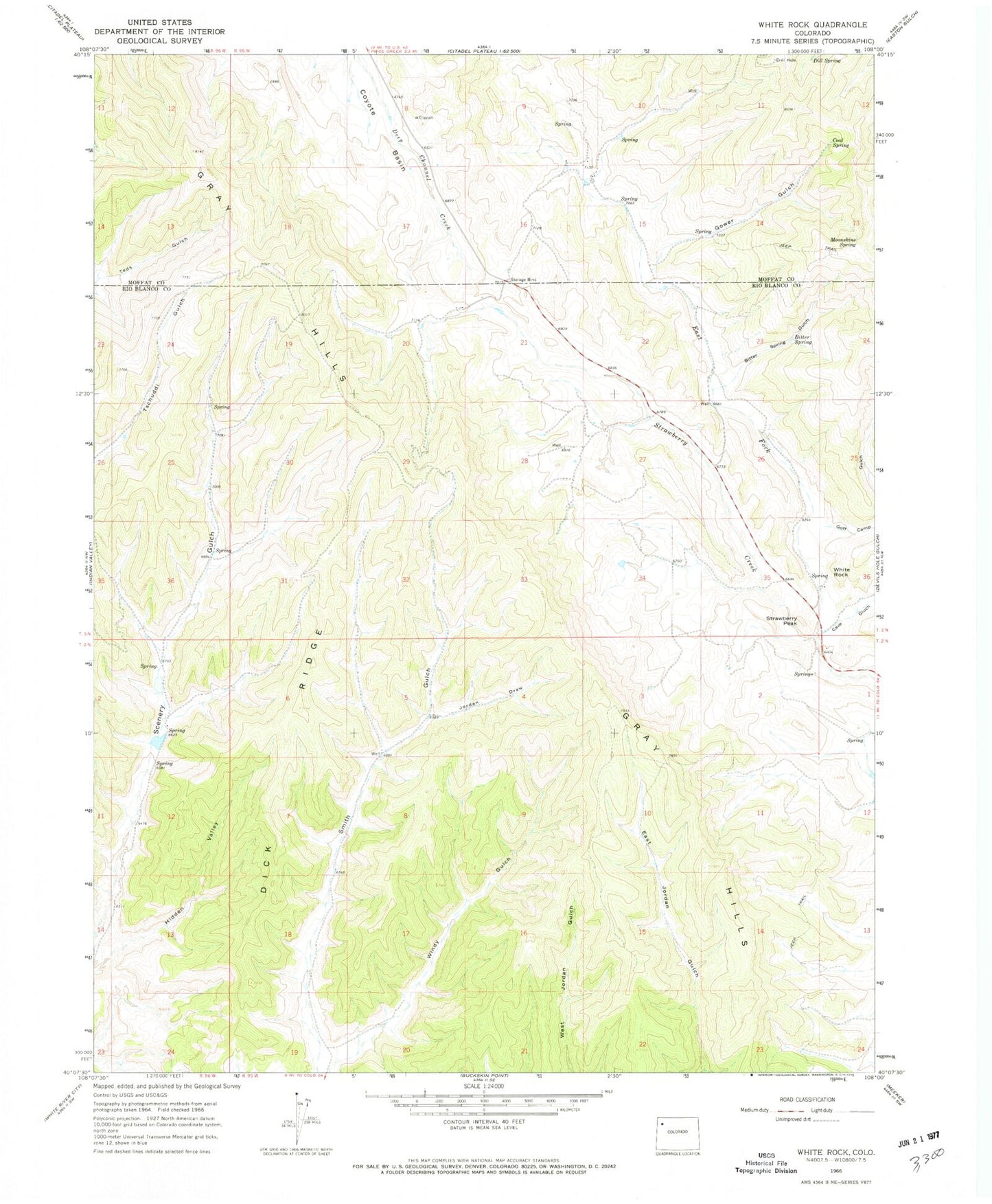
Classic USGS White Rock Colorado 7.5'x7.5' Topo Map
Regular price
$16.95
Regular price
Sale price
$16.95
Unit price
per
Couldn't load pickup availability
Historical USGS topographic quad map of White Rock in the state of Colorado. Map scale may vary for some years, but is generally around 1:24,000. Print size is approximately 24" x 27"
This quadrangle is in the following counties: Moffat, Rio Blanco.
The map contains contour lines, roads, rivers, towns, and lakes. Printed on high-quality waterproof paper with UV fade-resistant inks, and shipped rolled.
Contains the following named places: Bitter Spring, Bitter Spring Gulch, Cave Gulch, Coal Spring, Danforth Hills, Dick Ridge, East Fork Strawberry Creek, Goff Camp Gulch, Gower Gulch, Gray Hills, Jordan Draw, Moonshine Spring, Strawberry Peak, White Rock