MyTopo
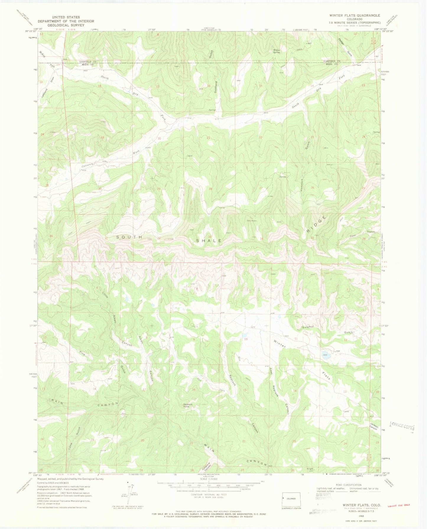
Classic USGS Winter Flats Colorado 7.5'x7.5' Topo Map
Couldn't load pickup availability
Historical USGS topographic quad map of Winter Flats in the state of Colorado. Map scale may vary for some years, but is generally around 1:24,000. Print size is approximately 24" x 27"
This quadrangle is in the following counties: Garfield, Mesa.
The map contains contour lines, roads, rivers, towns, and lakes. Printed on high-quality waterproof paper with UV fade-resistant inks, and shipped rolled.
Contains the following named places: Alkali Canyon, Corcoran Wash, Cosgrove Canyon, Deer Retention Dam, East Redrock Canyon, Gothard Gulch, Hancock Gulch, Lane Gulch, Lefthand Draw, Little Alkali Canyon, McKay Fork, Pedigo Gulch, Pine Gulch, Redrock Canyon, Redrock Point, Soap Retention Dam, South Shale Ridge, Willow Spring, Winter Flats