MyTopo
Sagola Michigan US Topo Map
Couldn't load pickup availability
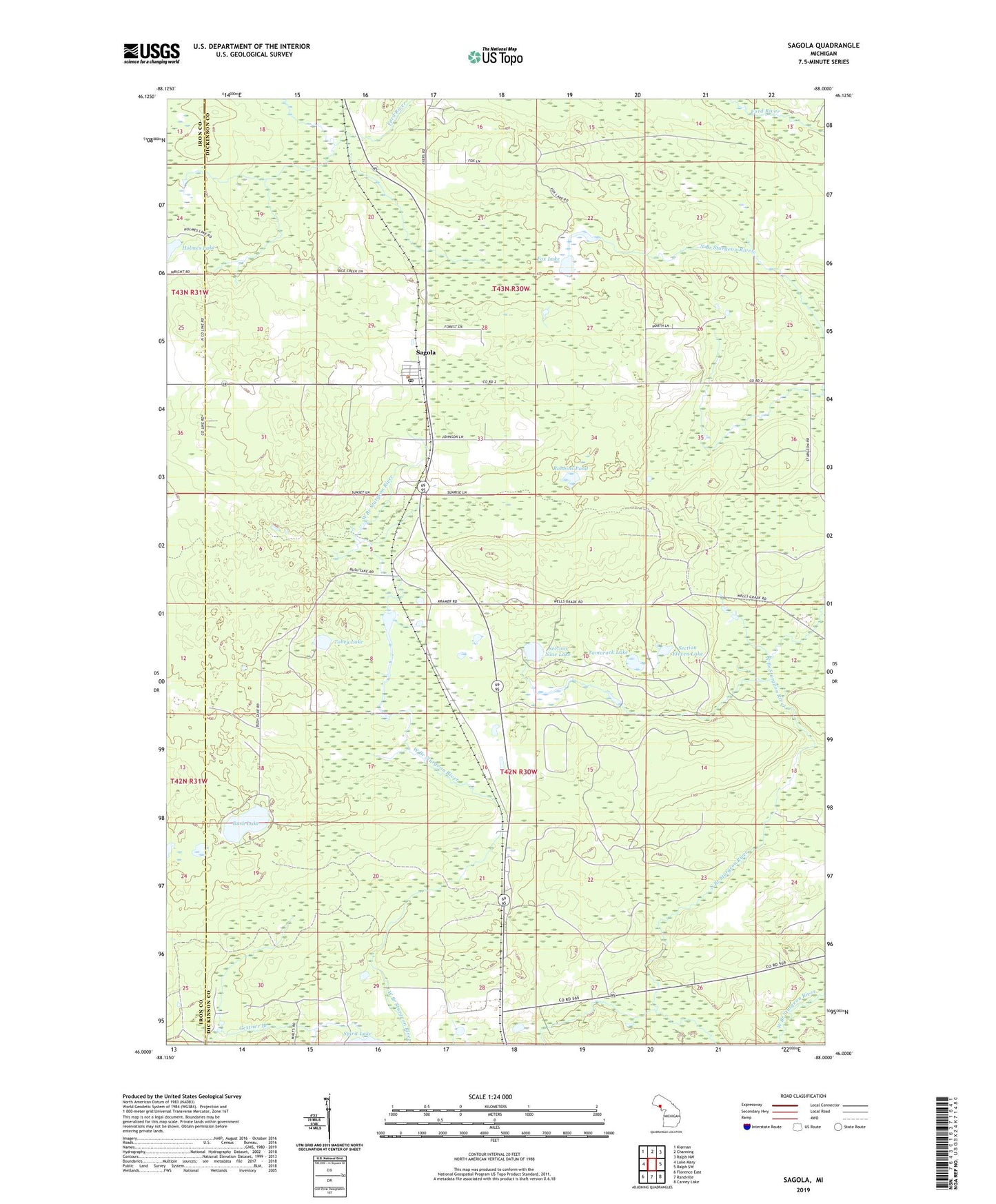
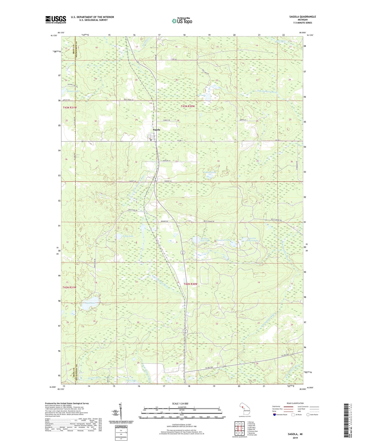
2019 topographic map quadrangle Sagola in the state of Michigan. Scale: 1:24000. Based on the newly updated USGS 7.5' US Topo map series, this map is in the following counties: Dickinson, Iron. The map contains contour data, water features, and other items you are used to seeing on USGS maps, but also has updated roads and other features. This is the next generation of topographic maps. Printed on high-quality waterproof paper with UV fade-resistant inks.
Quads adjacent to this one:
West: Lake Mary
Northwest: Kiernan
North: Channing
Northeast: Ralph NW
East: Ralph SW
Southeast: Carney Lake
South: Randville
Southwest: Florence East
Contains the following named places: Bush Lake, Fox Lake, Grace Presbyterian Church, North Branch Sturgeon River, Robbins Pond, Sagola, Sagola Post Office, Sagola Station, Section Eleven Lake, Section Nine Lake, Spirit Lake, Tamarack Lake, Tobey Lake, Township of Sagola, ZIP Code: 49881